Shipton in the Domesday Book (1086)
Shipton is named in the Domesday Book, compiled by Norman commissioners in 1086, entered under the hundred of Bulford in Yorkshire. The survey assessed Shipton at 28.4 carucates of taxable land.
At the time of the survey, Shipton supported a recorded population of 42 villagers, 5 smallholders, 6 freemanmen, working 15 ploughs between them.
Something went badly wrong here between the two surveys. Before 1066, Shipton was worth 56 shillings; by 1086 that had dropped to 10 shillings – a fall of 82%. Most Yorkshire villages that lost value on this scale were swept up in the Harrying of the North – William’s scorched-earth campaign of 1069–70.
Resources Recorded at Shipton (1086)
- Meadow: 30 acres
- Woodland: 4 * 4 furlongs
Other Settlements in Bulford
- Aldwark
- Alne
- Barnby [House]
- Barton [le Willows]
- Beningbrough
- Bossall
- Brafferton
- Brandsby
- Bulmer
- Buttercrambe
- Carlton [Farm]
- Claxton
- Coneysthorpe
- Corburn
The Meaning of the Name
The name Shipton is of Anglo-Saxon origin. Its final element derives from the Old English word tūn, a farmstead or village. The first element is most likely a personal name or an early descriptive term, now difficult to recover with certainty. Taken together the name probably meant something close to ‘a farmstead’.
Remarkably, the name has changed little since 1086, when the Domesday scribes wrote it as Shipton.
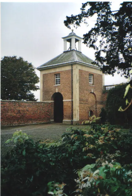
Listed Buildings Near Shipton
Historic England records 9 listed buildings within about a mile of Shipton. Listing protects structures of special architectural or historic interest, graded I (exceptional), II* (particularly important) and II.
Grade II
- The Grange - 0.32 km
- School Farmhouse - 0.37 km
- Milepost Approximately 12 Metres to South of Junction With Sandhole Lane - 0.39 km
- Shipton Middleton Church of England School - 0.39 km
- Dawnay Arms - 0.39 km
- Hall Farmhouse - 0.46 km
- Melrose House Nursing Home - 0.52 km
- Primrose Hill - 0.53 km
- Holy Evangelists’ Church - 0.55 km
Shipton Today
Today Shipton lies within the administrative area of North Yorkshire, and the settlement recorded a population of 737 at the 2021 census. Nine and a half centuries separate that figure from the small rural community the Domesday survey recorded here in 1086.
Read more about modern Shipton on Wikipedia .
Nearby Domesday Settlements
Other places recorded in the 1086 survey within a few miles:
- Corburn - 2.2 km NE
- Wide Open Farm - 2.2 km SE
- Skelton - 2.2 km SE
- Mortun - 3.0 km S
- Overton - 3.0 km S
- Beningbrough - 3.2 km W
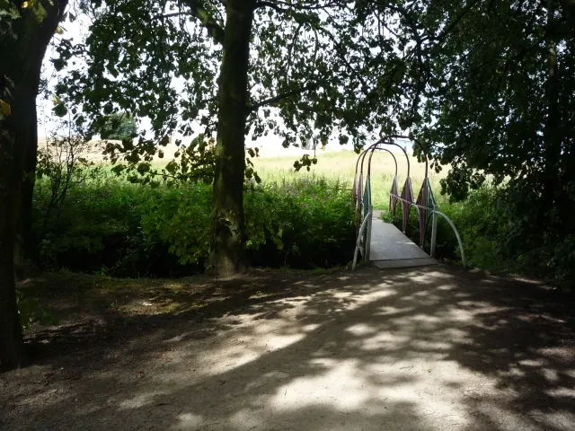
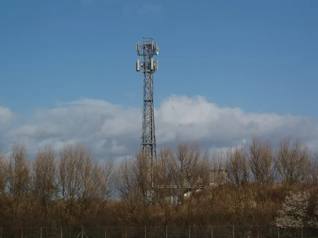
Heritage Around Shipton
Photographs of churches, listed buildings and monuments in the vicinity, contributed by volunteers to the Geograph project and reused here under a Creative Commons licence.
© DS Pugh · Geograph · CC BY-SA 2.0
© Robert Neilson · Geograph · CC BY-SA 2.0
© Carol Walker · Geograph · CC BY-SA 2.0
Images © their respective photographers, licensed under CC BY-SA 2.0 and reused here with attribution. Photographs depict listed buildings, churches and monuments near this settlement and may show neighbouring villages.
Data derived from the Open Domesday project (opendomesday.org), based on the Domesday Book dataset compiled by Professor J.J.N. Palmer and team. The Domesday Book (1086) is in the public domain.
Found an inaccuracy? [email protected]