Shippen House in the Domesday Book (1086)
The 1086 Domesday survey records the settlement of Shippen House, entered under the hundred of Skyrack in Yorkshire.
Other Settlements in Skyrack
- Adel
- Allerton [Bywater]
- Alwoodley
- Arthington
- Austhorpe
- Baildon
- Bardsey
- Barwick [in Elmet]
- Bichertun
- Bicherun
- Bingley
- Birkby [Hill]
- Bramhope
- Burden [Head]
The Meaning of the Name
The origin of the name Shippen House is not securely established from its modern form alone; like many settlement names in the North it likely combines an Old English or Old Norse personal name with a landscape term.
Remarkably, the name has changed little since 1086, when the Domesday scribes wrote it as Shippen House.
Listed Buildings Near Shippen House
Historic England records 4 listed buildings within about a mile of Shippen House. Listing protects structures of special architectural or historic interest, graded I (exceptional), II* (particularly important) and II.
Grade II
- Crawshaw Woods (Shippen House Farm) bridge, HUL4/20 - 0.3 km
- Lazencroft Farmhouse - 0.37 km
- Dovecote Attached to Farm Buildings at Manston Hall Farm - 0.71 km
- Barrowby Hall With Front Steps and Flanking Screen Walls and Gate Piers - 0.96 km
Scheduled Monuments Near Shippen House
Scheduled monuments are nationally important archaeological sites given legal protection. 3 lie within roughly a mile of Shippen House:
- Former World War I National Filling Factory, Barnbow - 0.32 km
- Length of Grim’s Ditch 260m west of Brown Moor Farm - 1.22 km
- Length of Grim’s Ditch immediately east of Barrowby Road - 1.44 km
Nearby Domesday Settlements
Other places recorded in the 1086 survey within a few miles:
Heritage Around Shippen [House]
Photographs of churches, listed buildings and monuments in the vicinity, contributed by volunteers to the Geograph project and reused here under a Creative Commons licence.
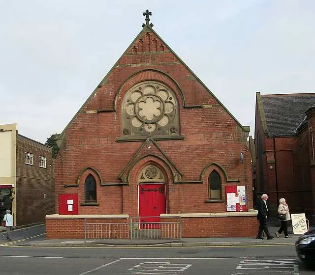
© Betty Longbottom · Geograph · CC BY-SA 2.0
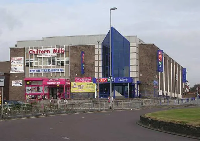
© Betty Longbottom · Geograph · CC BY-SA 2.0
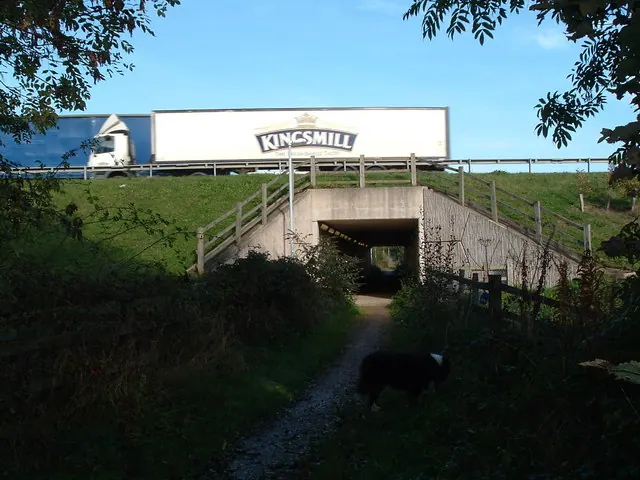
© vernon wood · Geograph · CC BY-SA 2.0
Images © their respective photographers, licensed under CC BY-SA 2.0 and reused here with attribution. Photographs depict listed buildings, churches and monuments near this settlement and may show neighbouring villages.
Data derived from the Open Domesday project (opendomesday.org), based on the Domesday Book dataset compiled by Professor J.J.N. Palmer and team. The Domesday Book (1086) is in the public domain.
Found an inaccuracy? [email protected]