Shipley in the Domesday Book (1086)
Shipley appears in the Domesday Book of 1086, entered under the hundred of Morley in Yorkshire. The survey assessed Shipley at 12 carucates of taxable land.
At the time of the survey, Shipley supported a recorded population of 22 villagers, 7 smallholders, working 8 ploughs between them.
By 1086 Shipley was worth 14 shillings, up from 12 shillings before the Conquest – one of the few settlements in the area to hold its value through the upheaval.
Resources Recorded at Shipley (1086)
- Churches: 1
- Meadow: 63 acres
- Woodland: 60 swine render
Other Settlements in Morley
- Allerton
- Armley
- Batley
- Beeston
- Bolton
- Bowling
- Bradford
- Bramley
- Calverley
- Carlton
- Chellow [Grange]
- Clayton
- Clifton
- Cruttonstall
The Meaning of the Name
The name Shipley is of Anglo-Saxon origin. Its final element derives from the Old English word lēah, a woodland clearing or glade. The first element is most likely a personal name or an early descriptive term, now difficult to recover with certainty. Taken together the name probably meant something close to ‘a clearing’.
Remarkably, the name has changed little since 1086, when the Domesday scribes wrote it as Shipley.
Listed Buildings Near Shipley
Historic England records 118 listed buildings within about a mile of Shipley. Listing protects structures of special architectural or historic interest, graded I (exceptional), II* (particularly important) and II.
Grade II*
- Victoria Hall including wall, gate-piers and sculpted lions to front area, and railings to rear - 0.75 km
- Saltaire Mills - Main Block Including Sheds - 0.77 km
Grade II
- Manor Lane Wesleyan Reformed Church Including Number 21 - 0.08 km
- Shipley War Memorial - 0.14 km
- Church of St Paul - 0.21 km
- Gates and Gate Piers to Church of St Paul - 0.21 km
- Westcliffe Road Methodist Chapel - 0.26 km
- Shipley Conservative Club - 0.28 km
- Canal Warehouse Immediately West of Number 7 - 0.31 km
- Victoria Works, the main blocks to south of complex - 0.47 km
- 5, 6 and 7, Jane Hills - 0.48 km
- Mill Chimney to Victoria Works - 0.49 km
- Victoria Works, the Main Block to North West of Complex - 0.53 km
- Saltaire Mills Chimney to East of Complex - 0.7 km
- 1-10, Titus Street - 0.73 km
- Numbers 50-64 Including Railings and Piers to Bingley Road - 0.73 km
- 1, 2, 3, 4, 5 and 6, Harold Place - 0.73 km
- 52-61, Titus Street - 0.73 km
- 1-10 Mawson Street - 0.74 km
- Sir Titus Salt’s Hospital Including Wall and Piers to Saltaire Road - 0.74 km
- Number 67, 68, 69, 70 and 71 and Attached Arcade - 0.76 km
- 1-10, Lockwood Street - 0.77 km
- 41-50, Caroline Street - 0.77 km
- Numbers 72, 73, 74 and 75 and Attached Arcade - 0.77 km
…and 94 more listed structures in the area.
Scheduled Monuments Near Shipley
Scheduled monuments are nationally important archaeological sites given legal protection. 3 lie within roughly a mile of Shipley:
- Cup marked rock 60m south west of the War Memorial at Crowgill Park - 0.13 km
- Rock with one cup mark north east of the Cricketers’ Arms, Baildon Green - 1.21 km
- Cup and ring marked rock in Dawson Wood, 370m north east of Heaton Shay - 1.28 km
Shipley Today
Today Shipley lies within the administrative area of Bradford, and the settlement recorded a population of 14,259 at the 2021 census. Nine and a half centuries separate that figure from the small rural community the Domesday survey recorded here in 1086.
Read more about modern Shipley on Wikipedia .
Nearby Domesday Settlements
Other places recorded in the 1086 survey within a few miles:
- Baildon - 2.2 km NE
- Chellow Grange - 2.8 km SW
- Bolton - 2.8 km SE
- Cottingley - 3.0 km W
- Eldwick - 3.6 km NW
- Eccleshill - 4.1 km E
Heritage Around Shipley
Photographs of churches, listed buildings and monuments in the vicinity, contributed by volunteers to the Geograph project and reused here under a Creative Commons licence.
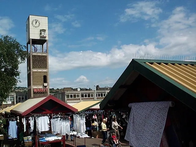
© David Spencer · Geograph · CC BY-SA 2.0
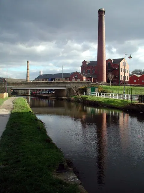
© Paul Glazzard · Geograph · CC BY-SA 2.0
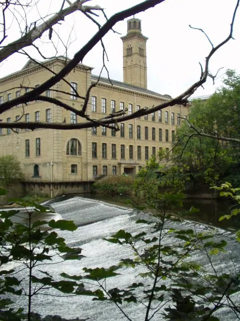
© Ian Rutson · Geograph · CC BY-SA 2.0
Images © their respective photographers, licensed under CC BY-SA 2.0 and reused here with attribution. Photographs depict listed buildings, churches and monuments near this settlement and may show neighbouring villages.
Data derived from the Open Domesday project (opendomesday.org), based on the Domesday Book dataset compiled by Professor J.J.N. Palmer and team. The Domesday Book (1086) is in the public domain.
Found an inaccuracy? [email protected]