Shepley in the Domesday Book (1086)
Shepley is named in the Domesday Book, compiled by Norman commissioners in 1086, entered under the hundred of Agbrigg in Yorkshire.
Other Settlements in Agbrigg
- Ackton
- Almondbury
- Austonley
- Bradley
- Cartworth
- Crigglestone
- Crofton
- Dalton
- Emley
- Farnley [Tyas]
- Flockton
- Fulstone
- Golcar
- Hepworth
The Meaning of the Name
The name Shepley is of Anglo-Saxon origin. Its final element derives from the Old English word lēah, a woodland clearing or glade. The first element is most likely a personal name or an early descriptive term, now difficult to recover with certainty. Taken together the name probably meant something close to ‘a clearing’.
Remarkably, the name has changed little since 1086, when the Domesday scribes wrote it as Shepley.
Listed Buildings Near Shepley
Historic England records 15 listed buildings within about a mile of Shepley. Listing protects structures of special architectural or historic interest, graded I (exceptional), II* (particularly important) and II.
Grade II
- Shepley War Memorial - 0.05 km
- Shepley First School - 0.25 km
- 10 and 11, Cliffe Side - 0.38 km
- Cliffe House - 0.38 km
- Croft Head Farm - 0.45 km
- Number 30 (Shepley Hall) & Number 32 - 0.47 km
- The Granary - 0.47 km
- 20 and 22, Station Road - 0.47 km
- Milestone at Junction With Lydegate Road - 0.49 km
- Lane Head House - 0.49 km
- Church of St Paul - 0.5 km
- 37, Cliffe Road - 0.52 km
- Former Weaving Establishment 10 Yards to North West of Copley House - 1.2 km
- Copley House - 1.21 km
- 31, Carr Hill Road - 1.29 km
Shepley Today
Today Shepley lies within the administrative area of Kirkburton.
Read more about modern Shepley on Wikipedia .
Nearby Domesday Settlements
Other places recorded in the 1086 survey within a few miles:
- Fulstone - 2.0 km W
- Upper Cumberworth - 2.2 km SE
- Shelley - 2.2 km NE
- Lower Cumberworth - 3.0 km E
- Kirkburton - 3.0 km N
- Thurstonland - 3.2 km W
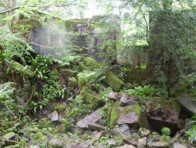
Heritage Around Shepley
Photographs of churches, listed buildings and monuments in the vicinity, contributed by volunteers to the Geograph project and reused here under a Creative Commons licence.

© steve taylor · Geograph · CC BY-SA 2.0
© Humphrey Bolton · Geograph · CC BY-SA 2.0
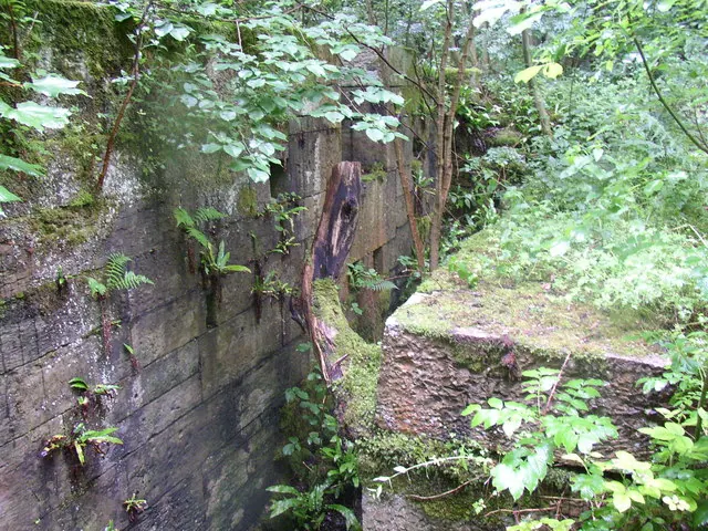
© Humphrey Bolton · Geograph · CC BY-SA 2.0
Images © their respective photographers, licensed under CC BY-SA 2.0 and reused here with attribution. Photographs depict listed buildings, churches and monuments near this settlement and may show neighbouring villages.
Data derived from the Open Domesday project (opendomesday.org), based on the Domesday Book dataset compiled by Professor J.J.N. Palmer and team. The Domesday Book (1086) is in the public domain.
Found an inaccuracy? [email protected]