Shelley in the Domesday Book (1086)
The 1086 Domesday survey records the settlement of Shelley, entered under the hundred of Agbrigg in Yorkshire.
Other Settlements in Agbrigg
- Ackton
- Almondbury
- Austonley
- Bradley
- Cartworth
- Crigglestone
- Crofton
- Dalton
- Emley
- Farnley [Tyas]
- Flockton
- Fulstone
- Golcar
- Hepworth
The Meaning of the Name
The name Shelley is of Anglo-Saxon origin. Its final element derives from the Old English word lēah, a woodland clearing or glade. The first element is most likely a personal name or an early descriptive term, now difficult to recover with certainty. Taken together the name probably meant something close to ‘a clearing’.
Remarkably, the name has changed little since 1086, when the Domesday scribes wrote it as Shelley.
Listed Buildings Near Shelley
Historic England records 12 listed buildings within about a mile of Shelley. Listing protects structures of special architectural or historic interest, graded I (exceptional), II* (particularly important) and II.
Grade I
- Church of All Hallows - 1.3 km
Grade II*
- Shelley Hall - 0.29 km
Grade II
- 129 and 131, Huddersfield Road - 0.27 km
- Guide Post at Junction With Far Bank - 0.31 km
- Pinfold at Junction With Huddersfield Road - 0.34 km
- Croft Cottage - 0.38 km
- Barn 20 Yards to East of Manor House - 0.43 km
- Wood Nook Farmhouse - 0.52 km
- Church of Emmanuel - 0.61 km
- Shelley Methodist Church - 0.69 km
- 152 and 154, Penistone Road - 1.22 km
- Yew Tree Farm - 1.25 km
Shelley Today
Today Shelley lies within the administrative area of Kirkburton, and the settlement recorded a population of 3,059 at recent figures. Nine and a half centuries separate that figure from the small rural community the Domesday survey recorded here in 1086.
Read more about modern Shelley on Wikipedia .
Nearby Domesday Settlements
Other places recorded in the 1086 survey within a few miles:
- Kirkburton - 1.4 km NW
- Shepley - 2.2 km SW
- Lower Cumberworth - 2.8 km SE
- Skelmanthorpe - 3.2 km E
- Upper Cumberworth - 3.2 km S
- Fulstone - 3.6 km SW
Heritage Around Shelley
Photographs of churches, listed buildings and monuments in the vicinity, contributed by volunteers to the Geograph project and reused here under a Creative Commons licence.
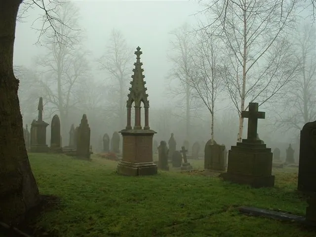
© steve taylor · Geograph · CC BY-SA 2.0
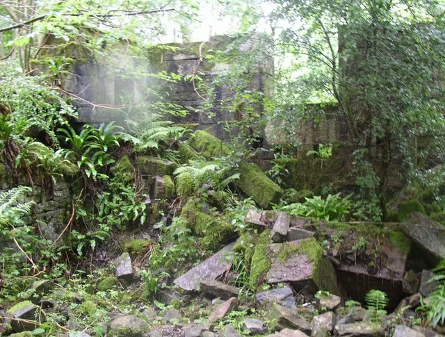
© Humphrey Bolton · Geograph · CC BY-SA 2.0
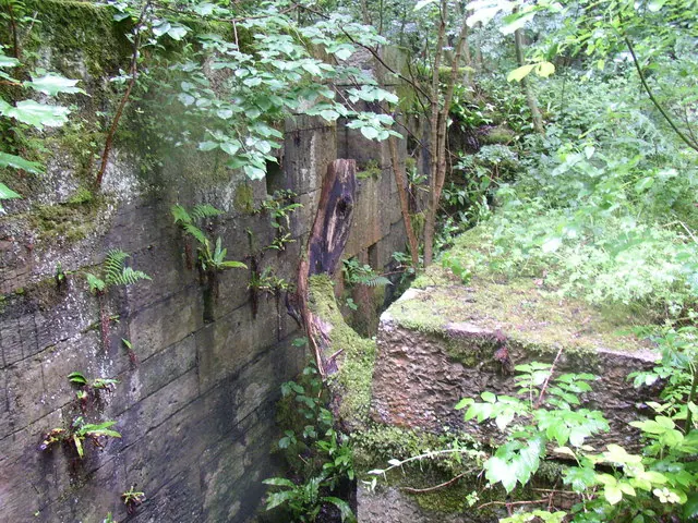
© Humphrey Bolton · Geograph · CC BY-SA 2.0
Images © their respective photographers, licensed under CC BY-SA 2.0 and reused here with attribution. Photographs depict listed buildings, churches and monuments near this settlement and may show neighbouring villages.
Data derived from the Open Domesday project (opendomesday.org), based on the Domesday Book dataset compiled by Professor J.J.N. Palmer and team. The Domesday Book (1086) is in the public domain.
Found an inaccuracy? [email protected]