Shelf in the Domesday Book (1086)
The settlement of Shelf is recorded in William I’s Domesday survey of 1086, entered under the hundred of Morley in Yorkshire.
Other Settlements in Morley
- Allerton
- Armley
- Batley
- Beeston
- Bolton
- Bowling
- Bradford
- Bramley
- Calverley
- Carlton
- Chellow [Grange]
- Clayton
- Clifton
- Cruttonstall
The Meaning of the Name
The origin of the name Shelf is not securely established from its modern form alone; like many settlement names in the North it likely combines an Old English or Old Norse personal name with a landscape term.
Remarkably, the name has changed little since 1086, when the Domesday scribes wrote it as Shelf.
Listed Buildings Near Shelf
Historic England records 31 listed buildings within about a mile of Shelf. Listing protects structures of special architectural or historic interest, graded I (exceptional), II* (particularly important) and II.
Grade I
- High Bentley - 0.53 km
Grade II*
- High Bentley Farm - 0.6 km
Grade II
- 7 and 9, Brow Lane - 0.32 km
- Lodge Attached Gate Piers to Norwood - 0.34 km
- 11, Carr House Road - 0.43 km
- Bethel Methodist Church - 0.47 km
- Low Bentley Farmhouse - 0.52 km
- Carr House Farmhouse - 0.53 km
- 5 and 6 Riding Hill - 0.57 km
- Jaque Royd and Attached Barn - 0.65 km
- Milestone 200 Metres From Clough Mill Towards Shelf at Ngr Se 119279 - 0.79 km
- Dean House - 0.81 km
- 67, Beck Hill - 1.0 km
- 69 Beck Hill - 1.0 km
- Stocks at Junction of Coley Road at Ngr Se 120276 - 1.01 km
- 6-12, Beck Hill - 1.01 km
- Windmill Hill - 1.02 km
- 30-34, Beck Hill - 1.03 km
- The Duke of York Public House - 1.03 km
- 14-20 Sugden Place - 1.03 km
- Guide Post (Stone Chair) at Junction of West Street Oposite the Duke of York Public House and Slab Attached to Wall of Number 1 at Ngr Se 117279 - 1.04 km
- Boundary stone opposite junction with Score Hill at NGR SE 116280 - 1.05 km
- Cock Hill - 1.05 km
- 1 and 2 Mountain Cottages - 1.06 km
…and 7 more listed structures in the area.
Shelf Today
Today Shelf lies within the administrative area of Calderdale, and the settlement recorded a population of 11,618 at recent figures. Nine and a half centuries separate that figure from the small rural community the Domesday survey recorded here in 1086.
Read more about modern Shelf on Wikipedia .
Nearby Domesday Settlements
Other places recorded in the 1086 survey within a few miles:
- Northowram - 2.2 km SW
- Hipperholme - 3.0 km S
- Wyke - 3.2 km E
- Wibsey - 3.6 km NE
- Clayton - 4.1 km N
- Thornton - 4.5 km NW
Heritage Around Shelf
Photographs of churches, listed buildings and monuments in the vicinity, contributed by volunteers to the Geograph project and reused here under a Creative Commons licence.
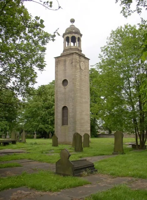
© Humphrey Bolton · Geograph · CC BY-SA 2.0
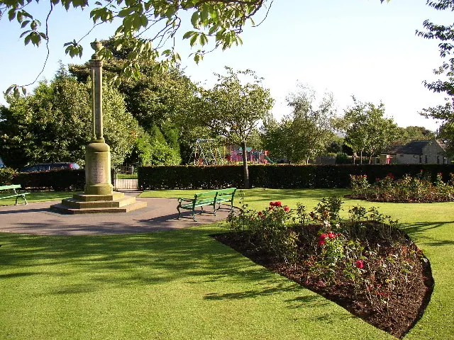
© Humphrey Bolton · Geograph · CC BY-SA 2.0
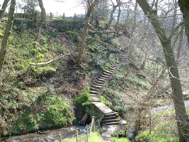
© Nigel Homer · Geograph · CC BY-SA 2.0
Images © their respective photographers, licensed under CC BY-SA 2.0 and reused here with attribution. Photographs depict listed buildings, churches and monuments near this settlement and may show neighbouring villages.
Data derived from the Open Domesday project (opendomesday.org), based on the Domesday Book dataset compiled by Professor J.J.N. Palmer and team. The Domesday Book (1086) is in the public domain.
Found an inaccuracy? [email protected]