Sheldon in the Domesday Book (1086)
Sheldon is named in the Domesday Book, compiled by Norman commissioners in 1086, entered under the hundred of Blackwell in Derbyshire.
Other Settlements in Blackwell
- Abney
- Ashford [-in-the-Water]
- Aston
- Bakewell
- Bamford
- Baslow
- Beeley
- Birchills
- Birchover
- Blackwell
- Bradwell
- Bubnell
- Burley
- Burton
The Meaning of the Name
The name Sheldon is of Anglo-Saxon origin. Its final element derives from the Old English word dūn, a hill. The first element is most likely a personal name or an early descriptive term, now difficult to recover with certainty. Taken together the name probably meant something close to ‘a hill’.
Remarkably, the name has changed little since 1086, when the Domesday scribes wrote it as Sheldon.
Listed Buildings Near Sheldon
Historic England records 3 listed buildings within about a mile of Sheldon. Listing protects structures of special architectural or historic interest, graded I (exceptional), II* (particularly important) and II.
Grade II
- Holme Deene - 0.27 km
- Hope Cottage and Outbuildings - 0.37 km
- Church of St Michael and All Angels - 0.42 km
Scheduled Monuments Near Sheldon
Scheduled monuments are nationally important archaeological sites given legal protection. 5 lie within roughly a mile of Sheldon:
- Magpie, Dirty Red Soil, Maypit, Horsesteps and Great Red Soil lead mines and a limekiln, 590m south east of Johnson Lane Farm - 0.49 km
- True Blue nucleated lead mine, 600m ESE of Magpie Mine - 0.5 km
- Bowl barrow west of Manor House - 0.84 km
- Bole Hill bowl barrow - 1.02 km
- Bowl barrow north of Manor House - 1.09 km
Sheldon Today
Today Sheldon lies within the administrative area of Derbyshire Dales, and the settlement recorded a population of 82 at the 2021 census. Nine and a half centuries separate that figure from the small rural community the Domesday survey recorded here in 1086.
Read more about modern Sheldon on Wikipedia .
Nearby Domesday Settlements
Other places recorded in the 1086 survey within a few miles:
- Ashford -in-the-Water - 2.2 km NE
- Monyash - 2.8 km SW
- Burton - 3.2 km E
- One Ash - 3.2 km S
- Nether and Over Haddon - 3.6 km SE
- Little? Longstone - 3.6 km NE
Heritage Around Sheldon
Photographs of churches, listed buildings and monuments in the vicinity, contributed by volunteers to the Geograph project and reused here under a Creative Commons licence.
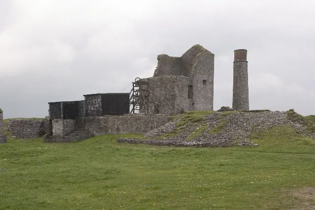
© Rob Bradford · Geograph · CC BY-SA 2.0
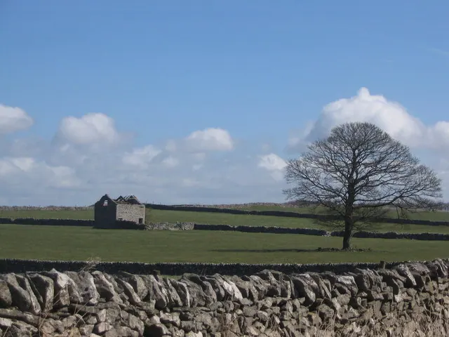
© George Wolfe · Geograph · CC BY-SA 2.0
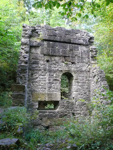
© Alan Heardman · Geograph · CC BY-SA 2.0
Images © their respective photographers, licensed under CC BY-SA 2.0 and reused here with attribution. Photographs depict listed buildings, churches and monuments near this settlement and may show neighbouring villages.
Data derived from the Open Domesday project (opendomesday.org), based on the Domesday Book dataset compiled by Professor J.J.N. Palmer and team. The Domesday Book (1086) is in the public domain.
Found an inaccuracy? [email protected]