Sheffield in the Domesday Book (1086)
The 1086 Domesday survey records the settlement of Sheffield, entered under the hundred of Strafforth in Yorkshire.
Other Settlements in Strafforth
- Adwick [le Street]
- Adwick [upon Dearne]
- Armthorpe
- Aston
- Attercliffe
- Auckley
- Aughton [Hall]
- Austerfield
- Balby
- Barnbrough
- Barnby [Dun]
- Bentley
- Bilham [House]
- Billingley
The Meaning of the Name
The name Sheffield is of Anglo-Saxon origin. Its final element derives from the Old English word feld, open country. The first element is most likely a personal name or an early descriptive term, now difficult to recover with certainty. Taken together the name probably meant something close to ‘a open land’.
Remarkably, the name has changed little since 1086, when the Domesday scribes wrote it as Sheffield.
Listed Buildings Near Sheffield
Historic England records 317 listed buildings within about a mile of Sheffield. Listing protects structures of special architectural or historic interest, graded I (exceptional), II* (particularly important) and II.
Grade II*
Grade II
- Church of St George - 0.14 km
- Boundary Wall and Gate Piers to Church of St George - 0.15 km
- Workshop Ranges to Rear of Numbers 216 and 218 - 0.16 km
- Mappin Building and Attached Railings - 0.17 km
- Jessop Hospital For Women - 0.2 km
- Sewer Gas Lamp Opposite Junction With Victoria Street - 0.2 km
- James Montgomery Memorial Drinking Fountain - 0.21 km
- Provincial House (former St Vincent’s Presbytery) - 0.24 km
- Church of the Nazarene and Adjoining Boundary Wall and Railing - 0.25 km
- 15, Regent Terrace - 0.26 km
- Annex to Jessop Hospital For Women - 0.26 km
- 36 and 38, Victoria Street - 0.26 km
- 52 54 and 56, Garden Street - 0.28 km
- 40, Victoria Street - 0.29 km
- 48-50, Garden Street - 0.3 km
- Workshop Ranges, Including Crucible Furnace Attched to Number 54 - 0.32 km
- Somme Barracks and Drill Hall - 0.32 km
- 255-261, Glossop Road - 0.36 km
- Netherthorpe Junior School and Adjoining Caretakers House and Walls - 0.36 km
- Sewer Gas Lamp at Junction With Westhill Lane - 0.37 km
- 267, Glossop Road - 0.38 km
- 269 and 271, Glossop Road - 0.39 km
- Lloyds Bank - 0.39 km
…and 293 more listed structures in the area.
Scheduled Monuments Near Sheffield
Scheduled monuments are nationally important archaeological sites given legal protection. 2 lie within roughly a mile of Sheffield:
- Cementation furnace, Hoyle Street - 0.55 km
- Bower Spring cementation furnace - 0.8 km
Sheffield Today
Today Sheffield lies within the administrative area of Sheffield.
Read more about modern Netherthorpe on Wikipedia .
Nearby Domesday Settlements
Other places recorded in the 1086 survey within a few miles:
- Attercliffe - 3.2 km E
- Grimeshou - 3.6 km NE
- Wadsley - 3.6 km NW
- Hallam - 4.1 km W
- Norton and Little Norton - 5.1 km S
- Worrall - 6.4 km NW
Heritage Around Sheffield
Photographs of churches, listed buildings and monuments in the vicinity, contributed by volunteers to the Geograph project and reused here under a Creative Commons licence.
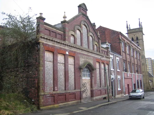
© Nigel Cox · Geograph · CC BY-SA 2.0
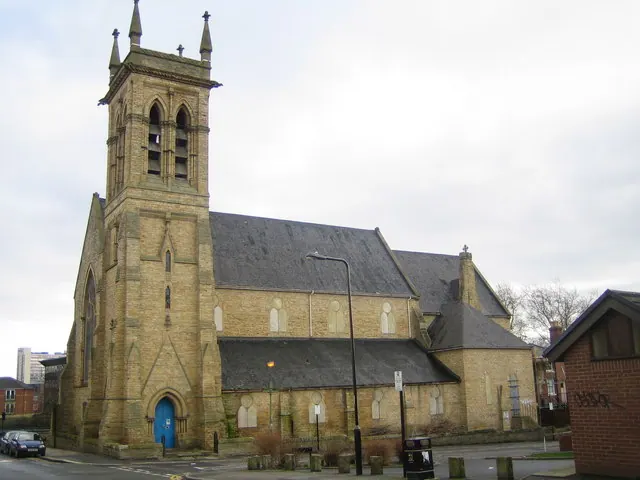
© Nigel Cox · Geograph · CC BY-SA 2.0
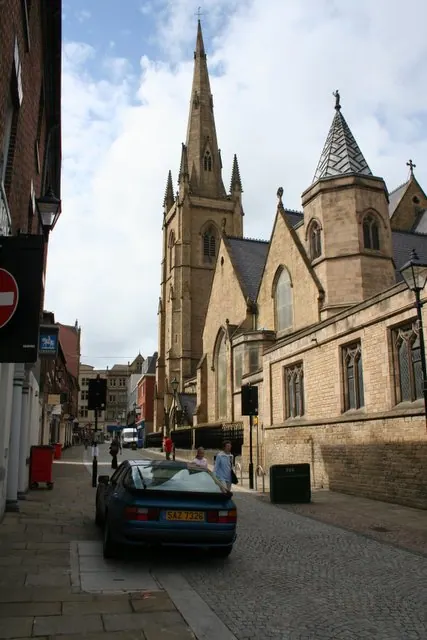
© David Morris · Geograph · CC BY-SA 2.0
Images © their respective photographers, licensed under CC BY-SA 2.0 and reused here with attribution. Photographs depict listed buildings, churches and monuments near this settlement and may show neighbouring villages.
Data derived from the Open Domesday project (opendomesday.org), based on the Domesday Book dataset compiled by Professor J.J.N. Palmer and team. The Domesday Book (1086) is in the public domain.
Found an inaccuracy? [email protected]