Shardlow in the Domesday Book (1086)
Shardlow is named in the Domesday Book, compiled by Norman commissioners in 1086, entered under the hundred of Litchurch in Derbyshire.
Other Settlements in Litchurch
- Allestree
- Alvaston
- Ambaston
- Arleston
- Aston [-on-Trent]
- Barrow [-upon-Trent]
- Bearwardcote
- Boulton
- Burnaston
- Chellaston
- Cottons
- Dalbury
- Egginton
- Elvaston
The Meaning of the Name
The origin of the name Shardlow is not securely established from its modern form alone; like many settlement names in the North it likely combines an Old English or Old Norse personal name with a landscape term.
Remarkably, the name has changed little since 1086, when the Domesday scribes wrote it as Shardlow.
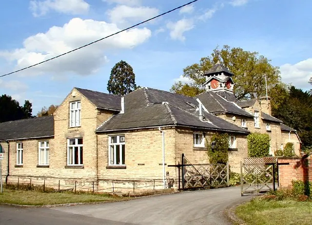
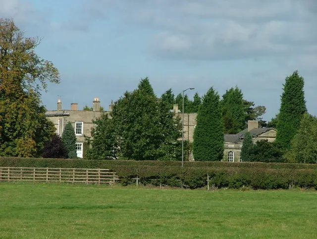
Listed Buildings Near Shardlow
Historic England records 45 listed buildings within about a mile of Shardlow. Listing protects structures of special architectural or historic interest, graded I (exceptional), II* (particularly important) and II.
Grade II*
Grade II
- Shardlow Manor - 0.1 km
- 83 London Road - 0.11 km
- Farm Buildings to South West of Shardlow Hall - 0.13 km
- Shardlow House - 0.14 km
- Barn and Cowshed to West of 83 London Road - 0.14 km
- The Shakespeare Inn - 0.14 km
- The Dower House - 0.17 km
- The Dog and Duck Inn - 0.19 km
- 4 Aston Lane - 0.2 km
- Shardlow War Memorial - 0.22 km
- Church of St James - 0.23 km
- Gate Piers and Railing to South of St James Church - 0.23 km
- Entrance Gates and Wall to Shardlow Hall - 0.23 km
- Shardlow School - 0.42 km
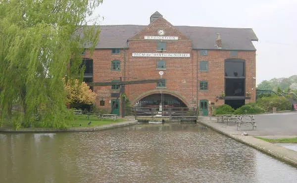
- The Clock Warehouse - 0.56 km
- Old Salt Warehouse to North East of the Clock Warehouse - 0.59 km
- 7 The Wharf - 0.59 km
- 9-11 and 15-17 The Wharf - 0.61 km
- Trent and Mersey Canal, Canal Milepost to West of Hickens Bridge at Sk 429 298 - 0.65 km
- 2 and 4, Canal Bank - 0.65 km
- 5 and 7, Canal Bank - 0.66 km
- Trent Corn Mill Number 1 - 0.66 km
- No. 21, DOBSON’S BOATYARD, THE WHARF - 0.66 km
…and 21 more listed structures in the area.
Scheduled Monuments Near Shardlow
Scheduled monuments are nationally important archaeological sites given legal protection. 1 lies within roughly a mile of Shardlow:
- Henge complex NW of Hickens Bridge - 0.94 km
Shardlow Today
Today Shardlow lies within the administrative area of Shardlow and Great Wilne.
Read more about modern Shardlow on Wikipedia .
Nearby Domesday Settlements
Other places recorded in the 1086 survey within a few miles:
- Aston -on-Trent - 2.2 km SW
- Ambaston - 2.2 km NW
- Elvaston - 2.8 km NW
- Thulston - 3.2 km W
- Draycott - 3.2 km N
- Weston -on-Trent - 3.6 km SW
Heritage Around Shardlow
Photographs of churches, listed buildings and monuments in the vicinity, contributed by volunteers to the Geograph project and reused here under a Creative Commons licence.
© Chris J Dixon · Geograph · CC BY-SA 2.0
© J147 · Geograph · CC BY-SA 2.0
© Martin Clark · Geograph · CC BY-SA 2.0
Images © their respective photographers, licensed under CC BY-SA 2.0 and reused here with attribution. Photographs depict listed buildings, churches and monuments near this settlement and may show neighbouring villages.
Data derived from the Open Domesday project (opendomesday.org), based on the Domesday Book dataset compiled by Professor J.J.N. Palmer and team. The Domesday Book (1086) is in the public domain.
Found an inaccuracy? [email protected]