Sewerby in the Domesday Book (1086)
The 1086 Domesday survey records the settlement of Sewerby, entered under the hundred of Hunthow in Yorkshire.
Other Settlements in Hunthow
- Auburn
- Bempton
- Bessingby
- Boynton
- Boynton [Hall]
- Bridlington
- Buckton
- Easton
- Flamborough
- Flixton
- Foxholes
- Fraisthorpe
- Grindale
- Hilderthorpe
The Meaning of the Name
The name Sewerby is of Scandinavian origin. Its final element derives from the Old Norse word bý, a farmstead or village. The first element is most likely a personal name or an early descriptive term, now difficult to recover with certainty. Taken together the name probably meant something close to ‘a farmstead’.
Names of this type are a fingerprint of Scandinavian settlement: they cluster across the old Danelaw, where Norse-speaking settlers renamed or founded villages from the late 9th century onward.
Remarkably, the name has changed little since 1086, when the Domesday scribes wrote it as Sewerby.
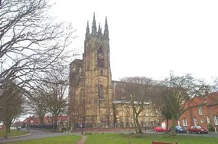
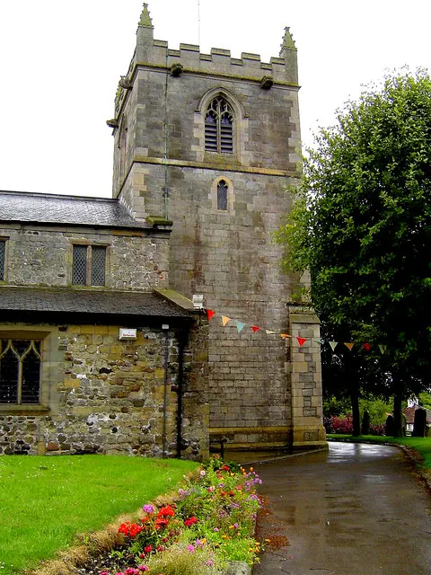
Listed Buildings Near Sewerby
Historic England records 18 listed buildings within about a mile of Sewerby. Listing protects structures of special architectural or historic interest, graded I (exceptional), II* (particularly important) and II.
Grade I
- Sewerby House - 0.93 km
Grade II*
- Gate House, Comprising Archway and Lodges (Numbers 2 and 4) to Sewerby House Attached Forecourt Walls and Gatepiers to West - 0.7 km
- Church of St John the Evangelist - 0.78 km
- Stable Block to North West of Sewerby House - 0.9 km
- Courtyard Archway to North West of Sewerby House - 0.92 km
- Terrace Balustrade and Attached Garden Wall and Archway to Sewerby House - 0.92 km
- The Old Laundry, Sewerby House - 0.93 km
- Conservatory to East of Sewerby House - 0.96 km
Grade II
- Sewerby Grange - 0.35 km
- 4, Main Street - 0.46 km
- 10, Main Street - 0.48 km
- 17 Main Street - 0.49 km
- 25-39, Main Street - 0.59 km
- 32, Main Street - 0.62 km
- The Ship Public House - 0.64 km
- Lodge Number 16 of Sewerby House - 0.73 km
- Sewerby School - 0.85 km
- Pigeon Cote - 1.18 km
Scheduled Monuments Near Sewerby
Scheduled monuments are nationally important archaeological sites given legal protection. 1 lies within roughly a mile of Sewerby:
Sewerby Today
Today Sewerby lies within the administrative area of Bridlington.
Read more about modern Sewerby on Wikipedia .
Nearby Domesday Settlements
Other places recorded in the 1086 survey within a few miles:
- Marton - 1.4 km NE
- Bridlington - 2.2 km SW
- Flamborough - 3.6 km NE
- Hilderthorpe - 3.6 km SW
- Easton - 4.0 km W
- Bempton - 4.0 km N
Heritage Around Sewerby
Photographs of churches, listed buildings and monuments in the vicinity, contributed by volunteers to the Geograph project and reused here under a Creative Commons licence.
© Bill Henderson · Geograph · CC BY-SA 2.0
© Nick Mutton 01329 000000 · Geograph · CC BY-SA 2.0
© Scott Robinson · Geograph · CC BY-SA 2.0
Images © their respective photographers, licensed under CC BY-SA 2.0 and reused here with attribution. Photographs depict listed buildings, churches and monuments near this settlement and may show neighbouring villages.
Data derived from the Open Domesday project (opendomesday.org), based on the Domesday Book dataset compiled by Professor J.J.N. Palmer and team. The Domesday Book (1086) is in the public domain.
Found an inaccuracy? [email protected]