Settrington in the Domesday Book (1086)
Settrington is named in the Domesday Book, compiled by Norman commissioners in 1086, entered under the hundred of Scard in Yorkshire. The survey assessed Settrington at 8 carucates of taxable land.
At the time of the survey, Settrington supported a recorded population of 22 villagers, 18 smallholders, 3 slaves, working 16 ploughs between them.
Something went badly wrong here between the two surveys. Before 1066, Settrington was worth 16 shillings; by 1086 that had dropped to 13 shillings – a fall of 18%. Most Yorkshire villages that lost value on this scale were swept up in the Harrying of the North – William’s scorched-earth campaign of 1069–70.
Resources Recorded at Settrington (1086)
- Mills: 2 mills (valued at 1.25 shillings)
- Meadow: 25 acres
Other Settlements in Scard
- Birdsall
- Buckton [Holms]
- Burdale
- Duggleby
- Kennythorpe
- Langton
- Linton
- Norton
- Rillington
- Scagglethorpe
- Scampston
- Sutton [Grange]
- Thorpe [Bassett]
- Towthorpe
The Meaning of the Name
The name Settrington is of Anglo-Saxon origin. Its final element derives from the Old English word tūn, a farmstead or village. The first element is most likely a personal name or an early descriptive term, now difficult to recover with certainty. Taken together the name probably meant something close to ‘a farmstead’.
Remarkably, the name has changed little since 1086, when the Domesday scribes wrote it as Settrington.
Listed Buildings Near Settrington
Historic England records 53 listed buildings within about a mile of Settrington. Listing protects structures of special architectural or historic interest, graded I (exceptional), II* (particularly important) and II.
Grade II
- Number 36 and Attached Outbuilding - 0.01 km
- Langthorne Cottage - 0.02 km
- Number 35 and Attached Outbuilding - 0.05 km
- Number 33 and 34 and Attached Garages - 0.06 km
- 32, Village Street - 0.07 km
- Blacksmith’s House and Attached Garage - 0.08 km
- Number 29-30 - 0.1 km
- 40 and 41, Village Street - 0.11 km
- Brook Farmhouse - 0.11 km
- Numbers 27 and 28 and Attached Outbuildings - 0.11 km
- Number 38 and 39 and Attached Outbuildings - 0.12 km
- Greystone House - 0.12 km
- Glebe House - 0.13 km
- Number 42 and 43 and Attached Outbuildings - 0.14 km
- Number 25 and 26 and Attached Outbuildings - 0.14 km
- Numbers 44 and 45 and Attached Outbuildings - 0.17 km
- Numbers 23 and 24 and Attached Outbuildings - 0.17 km
- Numbers 46 and 47 and Attached Outbuildings - 0.2 km
- Mill House - 0.22 km
- K6 Telephone Kiosk to Rear of Number 48 - 0.23 km
- Numbers 20, 21 and 22 and Attached Outbuildings - 0.23 km
- Numbers 48 and 49 and Attached Outbuildings - 0.24 km
- Number 50 and Attached Post Office, Shop and Garage - 0.28 km
- Numbers 17, 18 and 19 and Attached Outbuildings - 0.3 km
…and 29 more listed structures in the area.
Scheduled Monuments Near Settrington
Scheduled monuments are nationally important archaeological sites given legal protection. 3 lie within roughly a mile of Settrington:
- Medieval settlement earthworks on and around Town Green - 0.68 km
- Round barrow 1/2 mile (800m) NNE of Settrington House - 1.15 km
- Round barrow 1/4 mile (400m) SW of Many Thorns Farm - 1.59 km
Settrington Today
Today Settrington lies within the administrative area of Ryedale, and the settlement recorded a population of 309 at the 2021 census. Nine and a half centuries separate that figure from the small rural community the Domesday survey recorded here in 1086.
Read more about modern Settrington on Wikipedia .
Nearby Domesday Settlements
Other places recorded in the 1086 survey within a few miles:
- Buckton Holms - 1.4 km SE
- Scagglethorpe - 2.0 km N
- North Grimston - 3.2 km S
- Thorpe Bassett - 3.6 km NE
- Sutton Grange - 4.0 km W
- Norton - 4.1 km W
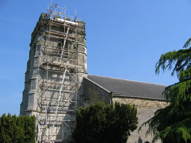
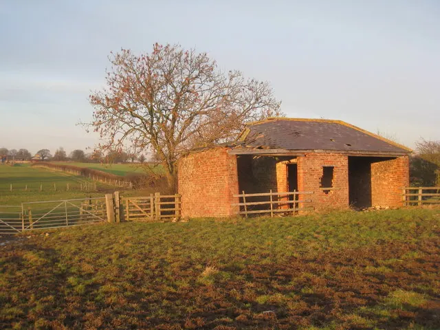
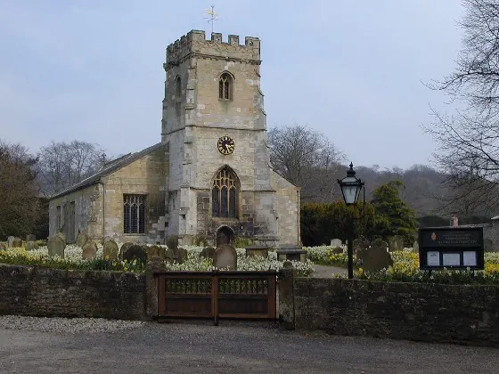
Heritage Around Settrington
Photographs of churches, listed buildings and monuments in the vicinity, contributed by volunteers to the Geograph project and reused here under a Creative Commons licence.
© Stephen Horncastle · Geograph · CC BY-SA 2.0
© Jonathan Thacker · Geograph · CC BY-SA 2.0
© Gareth Foster · Geograph · CC BY-SA 2.0
Images © their respective photographers, licensed under CC BY-SA 2.0 and reused here with attribution. Photographs depict listed buildings, churches and monuments near this settlement and may show neighbouring villages.
Data derived from the Open Domesday project (opendomesday.org), based on the Domesday Book dataset compiled by Professor J.J.N. Palmer and team. The Domesday Book (1086) is in the public domain.
Found an inaccuracy? [email protected]