Settle in the Domesday Book (1086)
Settle appears in the Domesday Book of 1086, entered under the hundred of Craven in Yorkshire.
Other Settlements in Craven
- Addingham
- Airton
- Anley
- Appletreewick
- Arncliffe
- Arnford
- Barnoldswick
- Bashall [Eaves]
- Battersby [Barn]
- Beamsley
- Birkby [Hall]
- Bogeuurde
- Bolton [Abbey]
- Bolton [by Bowland]
The Meaning of the Name
The origin of the name Settle is not securely established from its modern form alone; like many settlement names in the North it likely combines an Old English or Old Norse personal name with a landscape term.
Remarkably, the name has changed little since 1086, when the Domesday scribes wrote it as Settle.
Listed Buildings Near Settle
Historic England records 105 listed buildings within about a mile of Settle. Listing protects structures of special architectural or historic interest, graded I (exceptional), II* (particularly important) and II.
Grade II*
- Settle Quaker Meeting House - 0.29 km
Grade II
- Passenger buildings and platforms at Settle Station - 0.13 km
- Settle Station Signal Box and adjacent signal and isolated section of track - 0.13 km
- House at Settle Station - 0.15 km
- Tank House at Settle Station - 0.19 km
- No 3, Windyridge and The Croft - 0.26 km
- Marshfield and Audley and Wall and Gatepiers - 0.29 km
- Undercliffe House - 0.31 km
- Bond End - 0.31 km
- The Victoria Hall - 0.32 km
- Norlands and Milford and Company - 0.33 km
- K6 Telephone Kiosk - 0.33 km
- Settle Social Club - 0.33 km
- The Cottage - 0.35 km
- Devonshire House - 0.35 km
- 6, Duke Street - 0.36 km
- Cragdale Lodge - 0.37 km
- Linton Court and Associated Garden Walls (Including That Part to the Rear of Weaver’s Cottage) - 0.37 km
- 1 and 2, Chapel Street - 0.38 km
- Milnthorpe House - 0.38 km
- Golden Lion - 0.39 km
- Bishopsdale House - 0.39 km
- Ye Olde Naked Man Cafe - 0.4 km
- 1, Duke Street - 0.4 km
…and 81 more listed structures in the area.
Scheduled Monuments Near Settle
Scheduled monuments are nationally important archaeological sites given legal protection. 1 lies within roughly a mile of Settle:
- Giggleswick market cross - 0.7 km
Settle Today
Today Settle lies within the administrative area of Craven, and the settlement recorded a population of 2,712 at the 2021 census. Nine and a half centuries separate that figure from the small rural community the Domesday survey recorded here in 1086.
Read more about modern Settle on Wikipedia .
Nearby Domesday Settlements
Other places recorded in the 1086 survey within a few miles:
- Giggleswick - 1.0 km N
- Langcliffe - 1.4 km NE
- Stackhouse - 2.0 km N
- Anley - 2.0 km S
- Stainforth - 4.1 km N
- Rathmell - 4.1 km S
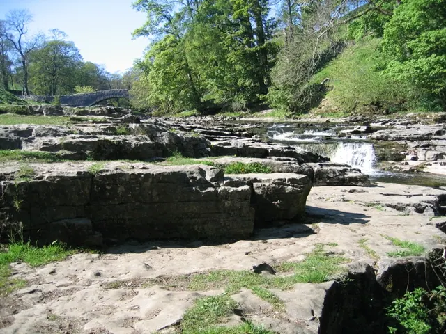
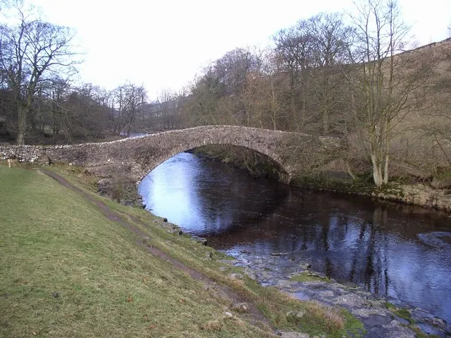
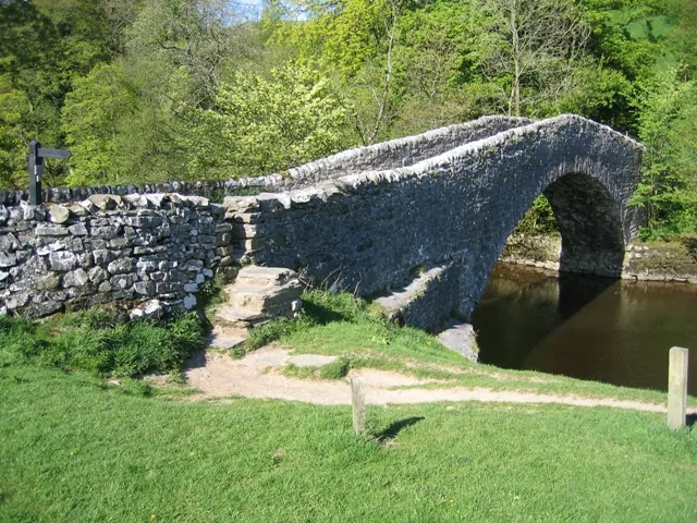
Heritage Around Settle
Photographs of churches, listed buildings and monuments in the vicinity, contributed by volunteers to the Geograph project and reused here under a Creative Commons licence.
© John S Turner · Geograph · CC BY-SA 2.0
© Kevin Rushton · Geograph · CC BY-SA 2.0
© John S Turner · Geograph · CC BY-SA 2.0
Images © their respective photographers, licensed under CC BY-SA 2.0 and reused here with attribution. Photographs depict listed buildings, churches and monuments near this settlement and may show neighbouring villages.
Data derived from the Open Domesday project (opendomesday.org), based on the Domesday Book dataset compiled by Professor J.J.N. Palmer and team. The Domesday Book (1086) is in the public domain.
Found an inaccuracy? [email protected]