Sessay in the Domesday Book (1086)
Sessay appears in the Domesday Book of 1086, entered under the hundred of Yarlestre in Yorkshire.
Other Settlements in Yarlestre
- Arden [Hall]
- Asenby
- Bagby
- Baxby
- Bergebi
- Berghebi
- Bernebi
- Boltby
- Breckenbrough
- Carlton [Husthwaite]
- Carlton [Miniott]
- Catton
- Coxwold
- Crakehill
The Meaning of the Name
The origin of the name Sessay is not securely established from its modern form alone; like many settlement names in the North it likely combines an Old English or Old Norse personal name with a landscape term.
Remarkably, the name has changed little since 1086, when the Domesday scribes wrote it as Sessay.
Listed Buildings Near Sessay
Historic England records 14 listed buildings within about a mile of Sessay. Listing protects structures of special architectural or historic interest, graded I (exceptional), II* (particularly important) and II.
Grade II*
- Church of St Cuthbert - 1.11 km
Grade II
- Barn With Engine House and Attached Cartshed Forming South-east Range of Farmyard at Manor Farm - 0.02 km
- Manor Farmhouse - 0.06 km
- Wall to Front Garden of Manor Farmhouse - 0.09 km
- Downe House Farmhouse - 0.26 km
- Honeysuckle Cottage and Path Head - 0.27 km
- Barn With Attched Horse Engine House on North-west Side of Farmyard at Village Farm - 0.42 km
- The Old Rectory - 0.66 km
- Moor House Farm Comprising Farmhouse and Attached Outbuildings and Farmbuilding Forming Courtyard - 0.77 km
- Sessay Church of England School and Masters House - 1.08 km
- Cross Approximately 5 Metres to South-east of Porch of Church of St Cuthbert - 1.11 km
- Lychgate to Church of St Cuthbert - 1.11 km
- Bridge Over Birdforth Beck Approximately 60 Metres to South-west of Church of St Cuthbert - 1.12 km
- Churchyard Wall at Church of St Cuthbert - 1.13 km
Sessay Today
Today Sessay lies within the administrative area of Hambleton, and the settlement recorded a population of 312 at the 2021 census. Nine and a half centuries separate that figure from the small rural community the Domesday survey recorded here in 1086.
Read more about modern Sessay on Wikipedia .
Nearby Domesday Settlements
Other places recorded in the 1086 survey within a few miles:
- Islebeck Grange - 2.0 km N
- Dalton - 2.2 km NW
- Bernebi - 3.0 km E
- Horebodebi - 3.0 km W
- Horenbodebi - 3.0 km W
- Crakehill - 3.6 km SW
Heritage Around Sessay
Photographs of churches, listed buildings and monuments in the vicinity, contributed by volunteers to the Geograph project and reused here under a Creative Commons licence.
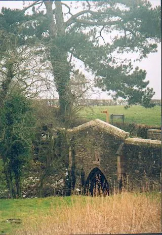
© Gordon Hatton · Geograph · CC BY-SA 2.0
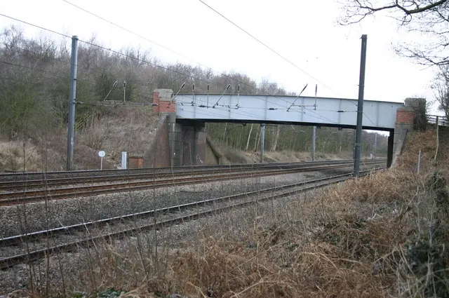
© Bob Jenkins · Geograph · CC BY-SA 2.0
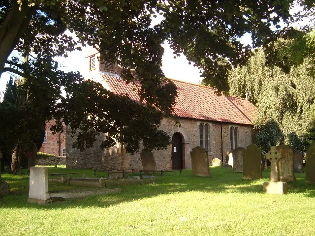
© Alison Stamp · Geograph · CC BY-SA 2.0
Images © their respective photographers, licensed under CC BY-SA 2.0 and reused here with attribution. Photographs depict listed buildings, churches and monuments near this settlement and may show neighbouring villages.
Data derived from the Open Domesday project (opendomesday.org), based on the Domesday Book dataset compiled by Professor J.J.N. Palmer and team. The Domesday Book (1086) is in the public domain.
Found an inaccuracy? [email protected]