Selby in the Domesday Book (1086)
Selby appears in the Domesday Book of 1086, entered under the hundred of Barkston in Yorkshire. The survey assessed Selby at 4.2 carucates of taxable land.
At the time of the survey, Selby supported a recorded population of 5 villagers, 2 slaves, working 2 ploughs between them.
The survey puts Selby’s value at 1 shilling, the same as before the Conquest. Unchanged valuations are relatively rare in the North, where disruption was widespread.
Resources Recorded at Selby (1086)
- Meadow: 100 acres
Other Settlements in Barkston
- Barkston
- Barlow
- Birkin
- Bramham
- Brayton
- Burton [Hall]
- Camblesforth
- Carlton
- Clifford
- Drax
- Fairburn
- Grimston [Grange]
- Hambleton
- Hazelwood [Castle]
The Meaning of the Name
The name Selby is of Scandinavian origin. Its final element derives from the Old Norse word bý, a farmstead or village. The first element is most likely a personal name or an early descriptive term, now difficult to recover with certainty. Taken together the name probably meant something close to ‘a farmstead’.
Names of this type are a fingerprint of Scandinavian settlement: they cluster across the old Danelaw, where Norse-speaking settlers renamed or founded villages from the late 9th century onward.
Remarkably, the name has changed little since 1086, when the Domesday scribes wrote it as Selby.
Listed Buildings Near Selby
Historic England records 120 listed buildings within about a mile of Selby. Listing protects structures of special architectural or historic interest, graded I (exceptional), II* (particularly important) and II.
Grade I
Grade II*
- Corunna House, 42 and 44 Ousegate - 0.06 km
- Abbots Staith Buildings - 0.08 km
Grade II
- 30 and 30a, Church Hill - 0.03 km
- Cygnet House - 0.03 km
- Selby Masonic Hall - 0.04 km
- 34 and 36 Ousegate - 0.04 km
- 32 Church Hill - 0.04 km
- Abbey House - 0.05 km
- 38, Ousegate - 0.05 km
- 46, Micklegate - 0.07 km
- 48 and 50, Micklegate - 0.07 km
- 50, Ousegate - 0.08 km
- 46 and 48 Ousegate (formerly the Queens Vaults public house) - 0.08 km
- Premises of the Pendulum Club - 0.09 km
- 15, New Street - 0.09 km
- 1-13 and 13A, New Street - 0.09 km
- 19-25, New Street - 0.09 km
- 16-28 New Street - 0.1 km
- Shop and Office of Messrs Woodhead Seeds Limited - 0.1 km
- 65, Micklegate - 0.11 km
- 61 and 63 Micklegate - 0.11 km
- 12 New Street, Selby (formerly the Rose and Crown Public House) - 0.11 km
- 5, 6 and 7, Abbey Place - 0.12 km
…and 96 more listed structures in the area.
Scheduled Monuments Near Selby
Scheduled monuments are nationally important archaeological sites given legal protection. 1 lies within roughly a mile of Selby:
- The Abbot’s Staithes - 0.09 km
Selby Today
Today Selby lies within the administrative area of North Yorkshire, and the settlement recorded a population of 17,274 at the 2021 census. Nine and a half centuries separate that figure from the small rural community the Domesday survey recorded here in 1086.
Read more about modern Selby on Wikipedia .
Nearby Domesday Settlements
Other places recorded in the 1086 survey within a few miles:
- Brayton - 2.2 km SW
- Barlby - 2.8 km NE
- Osgodby - 3.2 km E
- Thorpe Willoughby - 4.1 km W
- Burton Hall - 4.2 km SW
- Barlow - 5.0 km SE
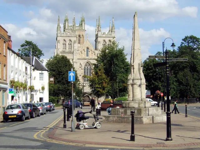
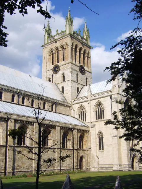
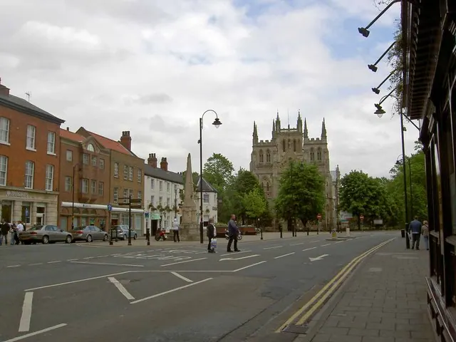
Heritage Around Selby
Photographs of churches, listed buildings and monuments in the vicinity, contributed by volunteers to the Geograph project and reused here under a Creative Commons licence.
© David Ward · Geograph · CC BY-SA 2.0
© David Ward · Geograph · CC BY-SA 2.0
© Steve Fareham · Geograph · CC BY-SA 2.0
Images © their respective photographers, licensed under CC BY-SA 2.0 and reused here with attribution. Photographs depict listed buildings, churches and monuments near this settlement and may show neighbouring villages.
Data derived from the Open Domesday project (opendomesday.org), based on the Domesday Book dataset compiled by Professor J.J.N. Palmer and team. The Domesday Book (1086) is in the public domain.
Found an inaccuracy? [email protected]