Sedsall in the Domesday Book (1086)
The 1086 Domesday survey records the settlement of Sedsall, entered under the hundred of Appletree in Derbyshire. The survey assessed Sedsall at 0.5 carucates of taxable land.
At the time of the survey, Sedsall supported a recorded population of 3 villagers, 3 slaves, working 1 plough between them.
By 1086 Sedsall was worth 2 shillings, up from 1 shilling before the Conquest – which sets it apart from the many nearby villages left waste or devalued.
Resources Recorded at Sedsall (1086)
- Mills: 1 mill (valued at 3d)
- Meadow: 10 acres
- Woodland: 1 alder wood
Other Settlements in Appletree
- Alkmonton
- Ashe
- Aston
- Barton [Blount]
- Bentley
- Boylestone
- Bradley
- Brailsford
- Bupton
- Clifton
- Doveridge
- Eaton [Dovedale]
- Edlaston
- Ednaston
The Meaning of the Name
The origin of the name Sedsall is not securely established from its modern form alone; like many settlement names in the North it likely combines an Old English or Old Norse personal name with a landscape term.
Remarkably, the name has changed little since 1086, when the Domesday scribes wrote it as Sedsall.
Listed Buildings Near Sedsall
Historic England records 4 listed buildings within about a mile of Sedsall. Listing protects structures of special architectural or historic interest, graded I (exceptional), II* (particularly important) and II.
Grade II
- Eaton Dovedale - 0.73 km
- Waldley Farmhouse - 1.05 km
- Outbuilding to North of Waldley Manor Farmhouse - 1.17 km
- Waldley Manor Farmhouse - 1.18 km
Nearby Domesday Settlements
Other places recorded in the 1086 survey within a few miles:
- Eaton Dovedale - 1.0 km W
- Marston Montgomery? - 2.0 km E
- Rocester - 2.2 km NW
- Somersal - 2.8 km SE
- Doveridge - 3.0 km S
- Roston - 4.5 km NE
Heritage Around Sedsall
Photographs of churches, listed buildings and monuments in the vicinity, contributed by volunteers to the Geograph project and reused here under a Creative Commons licence.
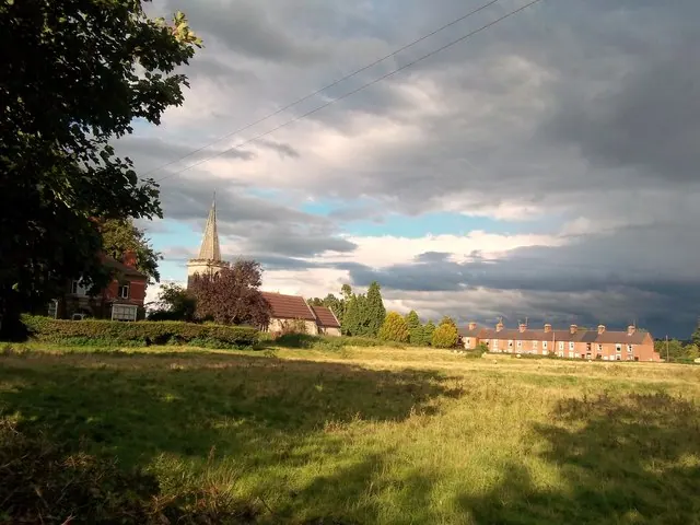
© Jonathan Clitheroe · Geograph · CC BY-SA 2.0
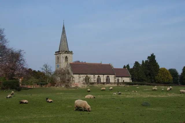
© Bill Boaden · Geograph · CC BY-SA 2.0
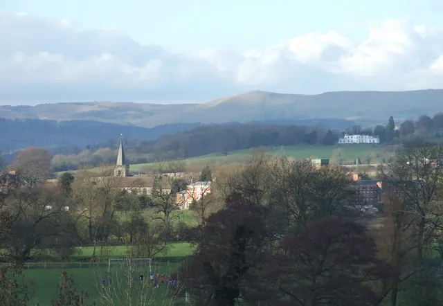
© Peter Taylor · Geograph · CC BY-SA 2.0
Images © their respective photographers, licensed under CC BY-SA 2.0 and reused here with attribution. Photographs depict listed buildings, churches and monuments near this settlement and may show neighbouring villages.
Data derived from the Open Domesday project (opendomesday.org), based on the Domesday Book dataset compiled by Professor J.J.N. Palmer and team. The Domesday Book (1086) is in the public domain.
Found an inaccuracy? [email protected]