Sedbergh in the Domesday Book (1086)
The settlement of Sedbergh is recorded in William I’s Domesday survey of 1086, entered under the hundred of Amounderness in Yorkshire.
Other Settlements in Amounderness
- Aighton
- Aldcliffe
- Aldingham
- Arkholme
- Aschebi
- Ashton [Hall]
- Ashton [on Ribble]
- Austwick
- Barbon
- Bardsea
- Bare
- Barnoldswick
- Barton
- Beetham
The Meaning of the Name
The origin of the name Sedbergh is not securely established from its modern form alone; like many settlement names in the North it likely combines an Old English or Old Norse personal name with a landscape term.
Remarkably, the name has changed little since 1086, when the Domesday scribes wrote it as Sedbergh.
Listed Buildings Near Sedbergh
Historic England records 61 listed buildings within about a mile of Sedbergh. Listing protects structures of special architectural or historic interest, graded I (exceptional), II* (particularly important) and II.
Grade I
- Church of St Andrew - 0.43 km
Grade II*
Grade II
- Winder Cottage (Number 9) - 0.32 km
- Palmers Hill - 0.34 km
- 4, Main Street - 0.36 km
- 3, Main Street - 0.37 km
- Evans House and Attached Area Railings to the Front - 0.38 km
- 33, Main Street - 0.39 km
- 35, Main Street - 0.39 km
- K6 Telephone Kiosk Beside Churchyard - 0.39 km
- Jubilee Drinking Fountain built into churchyard wall - 0.4 km
- 37 and 39, Main Street - 0.4 km
- No. 41 MAIN STREET - 0.4 km
- 48 and 50, Main Street - 0.4 km
- Former Mitchell’s Pharmacy - 0.41 km
- Marshall House and Attached Area Railings - 0.41 km
- Weavers Yard - 0.41 km
- 57, Main Street - 0.42 km
- Weavers Yard - 0.42 km
- Railton Yard - 0.43 km
- Walled Garden Approximately 40 Metres South of Evans House - 0.44 km
- 79 and 81, Main Street - 0.45 km
- 1, Back Lane - 0.46 km
- Sedbergh War Memorial - 0.47 km
…and 37 more listed structures in the area.
Scheduled Monuments Near Sedbergh
Scheduled monuments are nationally important archaeological sites given legal protection. 1 lies within roughly a mile of Sedbergh:
Sedbergh Today
Today Sedbergh lies within the administrative area of Westmorland and Furness, and the settlement recorded a population of 2,816 at the 2021 census. Nine and a half centuries separate that figure from the small rural community the Domesday survey recorded here in 1086.
Read more about modern Sedbergh on Wikipedia .
Nearby Domesday Settlements
Other places recorded in the 1086 survey within a few miles:
- Middleton Hall - 5.8 km SW
- Old Hutton - 9.8 km SW
- Barbon - 10.2 km S
- Mansergh - 11.6 km SW
- Patton Hall - 11.7 km W
Heritage Around Sedbergh
Photographs of churches, listed buildings and monuments in the vicinity, contributed by volunteers to the Geograph project and reused here under a Creative Commons licence.
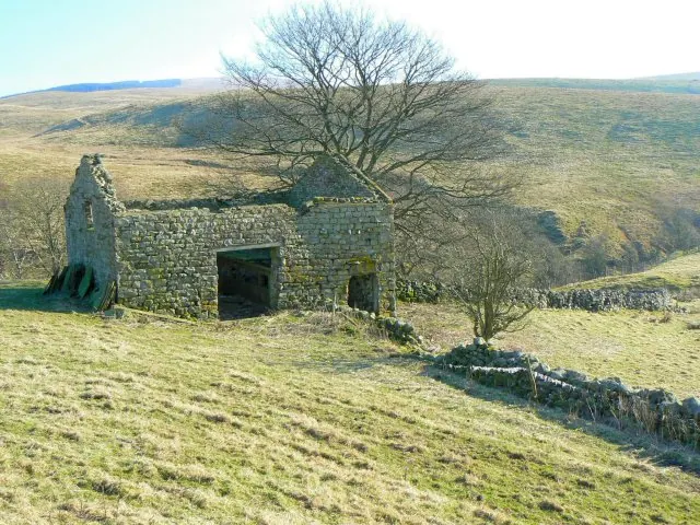
© James Allan · Geograph · CC BY-SA 2.0
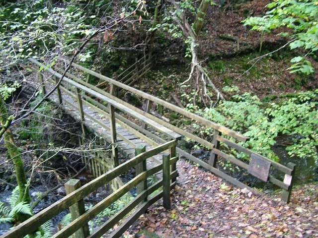
© David Brown · Geograph · CC BY-SA 2.0
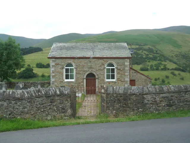
© Bill Henderson · Geograph · CC BY-SA 2.0
Images © their respective photographers, licensed under CC BY-SA 2.0 and reused here with attribution. Photographs depict listed buildings, churches and monuments near this settlement and may show neighbouring villages.
Data derived from the Open Domesday project (opendomesday.org), based on the Domesday Book dataset compiled by Professor J.J.N. Palmer and team. The Domesday Book (1086) is in the public domain.
Found an inaccuracy? [email protected]