Seaton Hall in the Domesday Book (1086)
Seaton Hall is named in the Domesday Book, compiled by Norman commissioners in 1086, entered under the hundred of Langbaurgh in Yorkshire.
Other Settlements in Langbaurgh
- Acklam
- Airy [Holme]
- Aislaby
- Arnodestorp
- Baldebi
- Barnaby
- Barwick
- Battersby
- Bergolbi
- Berguluesbi
- Blaten [Carr]
- Borrowby
- Breck
- Brotton
The Meaning of the Name
The name Seaton Hall is of Anglo-Saxon origin. Its final element derives from the Old English word tūn, a farmstead or village. The first element is most likely a personal name or an early descriptive term, now difficult to recover with certainty. Taken together the name probably meant something close to ‘a farmstead’.
Remarkably, the name has changed little since 1086, when the Domesday scribes wrote it as Seaton Hall.
Listed Buildings Near Seaton Hall
Historic England records 22 listed buildings within about a mile of Seaton Hall. Listing protects structures of special architectural or historic interest, graded I (exceptional), II* (particularly important) and II.
Grade II
- St Hilda’s Well, in Churchyard to North of Church of St Hilda - 0.67 km
- Church of St Hilda - 0.68 km
- Barn and Gin-gang to North of Plum Tree Farmhouse - 0.72 km
- Plum Tree Farmhouse - 0.73 km
- 1, High Street - 0.74 km
- Walls to East and South of St Hilda’s Rectory - 0.75 km
- Barn and Farmyard Wall to North and West of Greylands Farmhouse - 0.79 km
- 25 and 27, Porret Lane - 0.8 km
- Mile Post to South of Port Mulgrave Road - 0.8 km
- Greylands Farmhouse - 0.81 km
- The Badger Hounds Public House - 0.95 km
- Holme Farmhouse and Forecourt Wall to East - 1.03 km
- The Old Mill - 1.04 km
- The Fox and Hounds Public House - 1.04 km
- Dalehouse Bridge. - 1.08 km
- Methodist Chapel and Sunday School with forecourt walls - 1.16 km
- Thornhill - 1.18 km
- 99 and 101, High Street - 1.21 km
- 110, High Street - 1.23 km
- Pinjarra - 1.28 km
- Hinderwell, Port Mulgrave and Runswick War Memorial Clock Tower - 1.28 km
- St Heliers - 1.29 km
Scheduled Monuments Near Seaton Hall
Scheduled monuments are nationally important archaeological sites given legal protection. 2 lie within roughly a mile of Seaton Hall:
- St Hilda’s holy well - 0.67 km
- Round barrow and 20th century Royal Observer Corps post on Beacon Hill, known as the site of Hinderwell Beacon - 0.79 km
Nearby Domesday Settlements
Other places recorded in the 1086 survey within a few miles:
- Arnodestorp - 1.0 km E
- Hinderwell - 1.0 km E
- Newton Mulgrave - 2.0 km S
- Roxby - 2.2 km SW
- Old Boulby - 2.2 km NW
- Borrowby - 2.2 km SW
Heritage Around Seaton [Hall]
Photographs of churches, listed buildings and monuments in the vicinity, contributed by volunteers to the Geograph project and reused here under a Creative Commons licence.
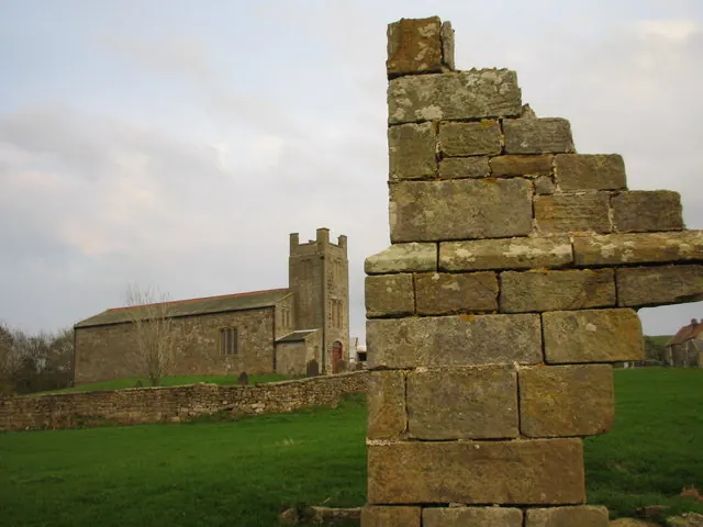
© Chris Twigg · Geograph · CC BY-SA 2.0
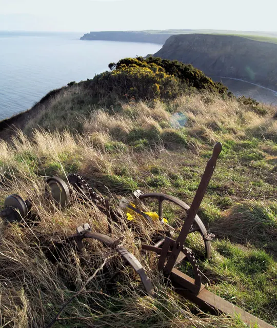
© Steve Fareham · Geograph · CC BY-SA 2.0
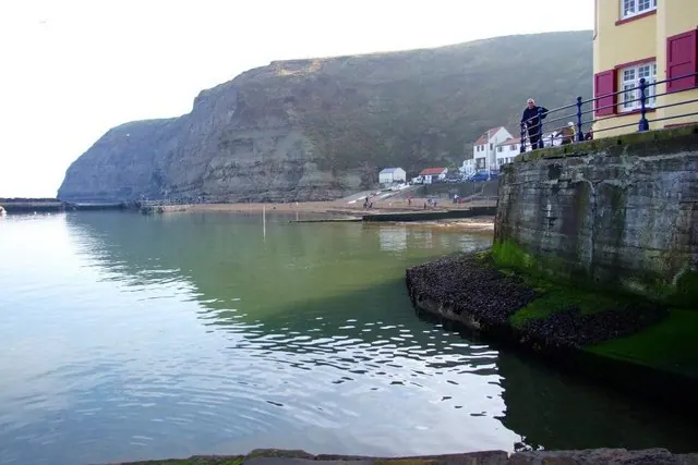
© Donnylad · Geograph · CC BY-SA 2.0
Images © their respective photographers, licensed under CC BY-SA 2.0 and reused here with attribution. Photographs depict listed buildings, churches and monuments near this settlement and may show neighbouring villages.
Data derived from the Open Domesday project (opendomesday.org), based on the Domesday Book dataset compiled by Professor J.J.N. Palmer and team. The Domesday Book (1086) is in the public domain.
Found an inaccuracy? [email protected]