Seamer in the Domesday Book (1086)
Seamer is named in the Domesday Book, compiled by Norman commissioners in 1086, entered under the hundred of Dic in Yorkshire.
Other Settlements in Dic
- Aislaby
- Allerston
- Appleton [le Moors]
- Aschelesmersc
- Aschilesmares
- Barton [le Street]
- Baschebi
- Baschesbi
- Brompton
- Burniston
- Burton [Dale]
- Cawthorn
- Cayton
- Chigogemers
The Meaning of the Name
The origin of the name Seamer is not securely established from its modern form alone; like many settlement names in the North it likely combines an Old English or Old Norse personal name with a landscape term.
Remarkably, the name has changed little since 1086, when the Domesday scribes wrote it as Seamer.
Listed Buildings Near Seamer
Historic England records 8 listed buildings within about a mile of Seamer. Listing protects structures of special architectural or historic interest, graded I (exceptional), II* (particularly important) and II.
Grade I
- Church of St Martin - 0.15 km
Grade II
- Londesborough Arms - 0.07 km
- 65, 66 and 67, Main Street - 0.18 km
- 78, 79 and 80, Main Street - 0.26 km
- Manor House, Remains of - 0.29 km
- Eastgate House - 0.37 km
- Bridge End Cottage - 0.53 km
- Rosary House - 0.78 km
Scheduled Monuments Near Seamer
Scheduled monuments are nationally important archaeological sites given legal protection. 2 lie within roughly a mile of Seamer:
- Site of medieval manor house - 0.31 km
- Late Iron Age and Roman period dispersed enclosed settlement 230m south east of Quartons Gardens - 1.08 km
Seamer Today
Today Seamer lies within the administrative area of Scarborough, and the settlement recorded a population of 4,357 at the 2021 census. Nine and a half centuries separate that figure from the small rural community the Domesday survey recorded here in 1086.
Read more about modern Seamer on Wikipedia .
Nearby Domesday Settlements
Other places recorded in the 1086 survey within a few miles:
- Irton - 1.0 km N
- Thorpefield - 1.0 km N
- East Ayton - 2.2 km NW
- High, Middle and Low Deepdale - 3.2 km E
- Newton - 3.2 km W
- West Ayton - 3.2 km W
Heritage Around Seamer
Photographs of churches, listed buildings and monuments in the vicinity, contributed by volunteers to the Geograph project and reused here under a Creative Commons licence.
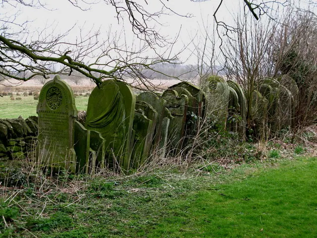
© David Rogers · Geograph · CC BY-SA 2.0
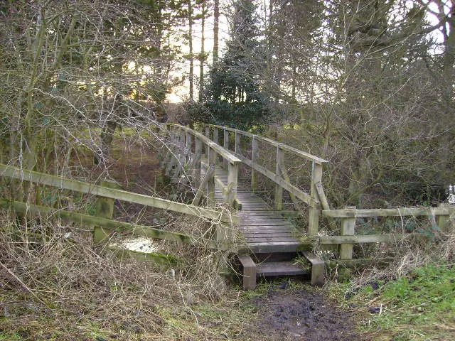
© Phil Catterall · Geograph · CC BY-SA 2.0
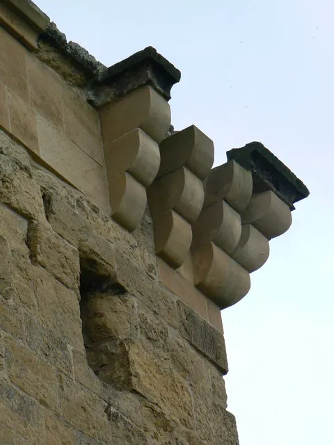
© bernard bradley · Geograph · CC BY-SA 2.0
Images © their respective photographers, licensed under CC BY-SA 2.0 and reused here with attribution. Photographs depict listed buildings, churches and monuments near this settlement and may show neighbouring villages.
Data derived from the Open Domesday project (opendomesday.org), based on the Domesday Book dataset compiled by Professor J.J.N. Palmer and team. The Domesday Book (1086) is in the public domain.
Found an inaccuracy? [email protected]