Seacroft in the Domesday Book (1086)
The 1086 Domesday survey records the settlement of Seacroft, entered under the hundred of Skyrack in Yorkshire.
Other Settlements in Skyrack
- Adel
- Allerton [Bywater]
- Alwoodley
- Arthington
- Austhorpe
- Baildon
- Bardsey
- Barwick [in Elmet]
- Bichertun
- Bicherun
- Bingley
- Birkby [Hill]
- Bramhope
- Burden [Head]
The Meaning of the Name
The origin of the name Seacroft is not securely established from its modern form alone; like many settlement names in the North it likely combines an Old English or Old Norse personal name with a landscape term.
Remarkably, the name has changed little since 1086, when the Domesday scribes wrote it as Seacroft.
Listed Buildings Near Seacroft
Historic England records 8 listed buildings within about a mile of Seacroft. Listing protects structures of special architectural or historic interest, graded I (exceptional), II* (particularly important) and II.
Grade II
- The Old Lamb Guesthouse - 0.32 km
- 1049 and 1051, York Road - 0.36 km
- Church of St James - 0.48 km
- Cricketers Arms Public House - 0.62 km
- The Grange - 0.67 km
- Coach House and Service Range to the Grange - 0.67 km
- Tower at Seacroft Hospital - 1.04 km
- K8 Public Telephone Kiosk (Mark 2), Seacroft Hospital - 1.09 km
Seacroft Today
Today Seacroft lies within the administrative area of Leeds, and the settlement recorded a population of 14,246 at recent figures. Nine and a half centuries separate that figure from the small rural community the Domesday survey recorded here in 1086.
Read more about modern Seacroft on Wikipedia .
Nearby Domesday Settlements
Other places recorded in the 1086 survey within a few miles:
Heritage Around Seacroft
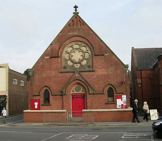
Photographs of churches, listed buildings and monuments in the vicinity, contributed by volunteers to the Geograph project and reused here under a Creative Commons licence.
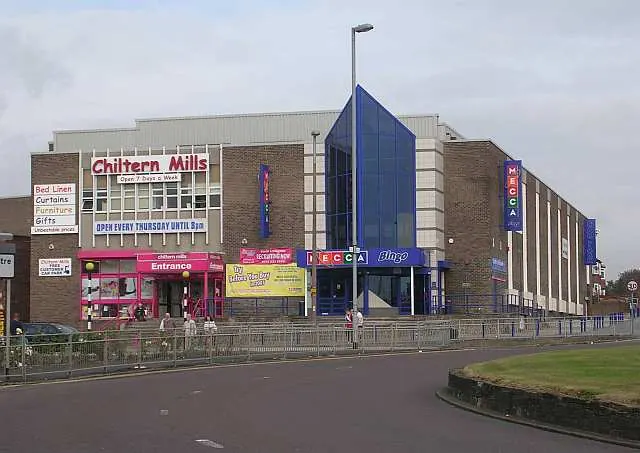
© Betty Longbottom · Geograph · CC BY-SA 2.0
© Betty Longbottom · Geograph · CC BY-SA 2.0
© Lis Burke · Geograph · CC BY-SA 2.0
Images © their respective photographers, licensed under CC BY-SA 2.0 and reused here with attribution. Photographs depict listed buildings, churches and monuments near this settlement and may show neighbouring villages.
Data derived from the Open Domesday project (opendomesday.org), based on the Domesday Book dataset compiled by Professor J.J.N. Palmer and team. The Domesday Book (1086) is in the public domain.
Found an inaccuracy? [email protected]