Scriven in the Domesday Book (1086)
The settlement of Scriven is recorded in William I’s Domesday survey of 1086, entered under the hundred of Burghshire in Yorkshire.
Other Settlements in Burghshire
- Addlethorpe
- Aismunderby
- Aldfield
- Allerton [Mauleverer]
- Arkendale
- Askwith
- Azerley
- Barrowby [Grange]
- Beckwith [House]
- Besthaim
- Bestham
- Bewerley
- Bilton
- Birstwith
The Meaning of the Name
The origin of the name Scriven is not securely established from its modern form alone; like many settlement names in the North it likely combines an Old English or Old Norse personal name with a landscape term.
Remarkably, the name has changed little since 1086, when the Domesday scribes wrote it as Scriven.
Listed Buildings Near Scriven
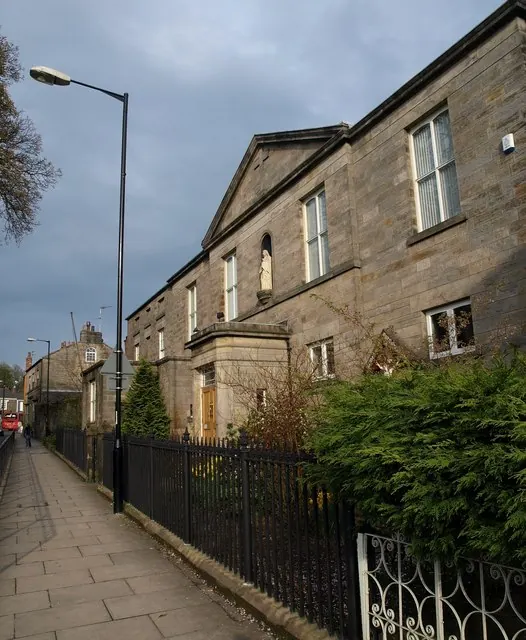
Historic England records 66 listed buildings within about a mile of Scriven. Listing protects structures of special architectural or historic interest, graded I (exceptional), II* (particularly important) and II.
Grade II*
- Home Farmhouse - 0.21 km
- Gate Piers at Scriven Park - 0.68 km
Grade II
- Scriven Hall - 0.08 km
- Wheelwright Cottage - 0.16 km
- Rose Cottage - 0.18 km
- Oak View With Garden Wall - 0.21 km
- Ice House in Ice House Wood - 0.22 km
- Pear Tree Cottage - 0.23 km
- Oak Lea - 0.25 km
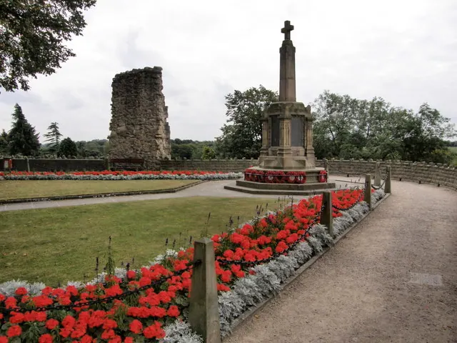
- Scriven War Memorial - 0.25 km
- Corner Cottage, With Nos 1 and 2 Village Terrace to Rear - 0.26 km
- Roundells Manor - 0.26 km
- Spinney Croft - 0.27 km
- Park Corner - 0.29 km
- Former Dog Kennels With Yard Wall on South Side - 0.31 km
- 4,6, High Bond End - 0.84 km
- Kirkman Bank - 0.89 km
- Byards Lodge and Byards Cottage - 0.99 km
- Bond End House Grove House - 1.01 km
- Railings With Two Pairs of Gates, and Overthrow With Lamp to Forecourt of Nos 14 to 16 - 1.01 km
- 22, Bond End - 1.08 km
- 2,4,6,8,10, Bond End - 1.09 km
- 14, Bond End - 1.09 km
- 12, Bond End - 1.09 km
…and 42 more listed structures in the area.
Scheduled Monuments Near Scriven
Scheduled monuments are nationally important archaeological sites given legal protection. 1 lies within roughly a mile of Scriven:
- High Bridge - 1.35 km
Scriven Today
Today Scriven lies within the administrative area of Harrogate, and the settlement recorded a population of 230 at the 2021 census. Nine and a half centuries separate that figure from the small rural community the Domesday survey recorded here in 1086.
Read more about modern Scriven on Wikipedia .
Nearby Domesday Settlements
Other places recorded in the 1086 survey within a few miles:
- Farnham - 2.0 km N
- Scotton - 2.2 km NW
- Knaresborough - 2.2 km SE
- Ferrensby - 2.8 km NE
- Walkingham Hill - 3.0 km N
- Bilton - 3.2 km W
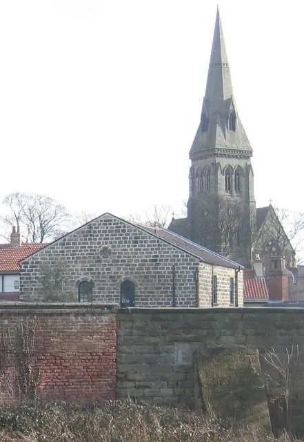
Heritage Around Scriven
Photographs of churches, listed buildings and monuments in the vicinity, contributed by volunteers to the Geograph project and reused here under a Creative Commons licence.
© R J McNaughton · Geograph · CC BY-SA 2.0
© Derek Harper · Geograph · CC BY-SA 2.0
© simon lutman · Geograph · CC BY-SA 2.0
Images © their respective photographers, licensed under CC BY-SA 2.0 and reused here with attribution. Photographs depict listed buildings, churches and monuments near this settlement and may show neighbouring villages.
Data derived from the Open Domesday project (opendomesday.org), based on the Domesday Book dataset compiled by Professor J.J.N. Palmer and team. The Domesday Book (1086) is in the public domain.
Found an inaccuracy? [email protected]