Scotton Thorpe in the Domesday Book (1086)
Scotton Thorpe appears in the Domesday Book of 1086, entered under the hundred of Burghshire in Yorkshire.
Other Settlements in Burghshire
- Addlethorpe
- Aismunderby
- Aldfield
- Allerton [Mauleverer]
- Arkendale
- Askwith
- Azerley
- Barrowby [Grange]
- Beckwith [House]
- Besthaim
- Bestham
- Bewerley
- Bilton
- Birstwith
The Meaning of the Name
The name Scotton Thorpe is of Anglo-Saxon origin. Its final element derives from the Old English word tūn, a farmstead or village. The first element is most likely a personal name or an early descriptive term, now difficult to recover with certainty. Taken together the name probably meant something close to ‘a farmstead’.
Remarkably, the name has changed little since 1086, when the Domesday scribes wrote it as Scotton Thorpe.
Listed Buildings Near Scotton Thorpe
Historic England records 5 listed buildings within about a mile of Scotton Thorpe. Listing protects structures of special architectural or historic interest, graded I (exceptional), II* (particularly important) and II.
Grade II*
- The Nookin - 1.19 km
Grade II
- Highfield House - 0.96 km
- Church of All Saints - 1.02 km
- Number 5 (Holly Cottage) With Number 3 - 1.23 km
- Numbers 4 and 5 Bentley Square - 1.26 km
Nearby Domesday Settlements
Other places recorded in the 1086 survey within a few miles:
- Temple Newsam - 1.4 km NE
- Rothwell - 1.4 km SW
- Thorpe Stapleton - 1.4 km NW
- Carlton - 2.8 km SW
- Skelton Grange - 2.8 km NW
- Great and Little Preston - 3.2 km E
Heritage Around [Scotton] Thorpe
Photographs of churches, listed buildings and monuments in the vicinity, contributed by volunteers to the Geograph project and reused here under a Creative Commons licence.
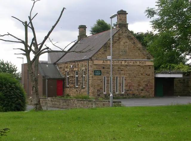
© Betty Longbottom · Geograph · CC BY-SA 2.0
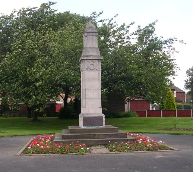
© Betty Longbottom · Geograph · CC BY-SA 2.0
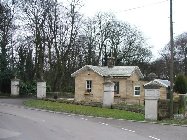
© Steve Partridge · Geograph · CC BY-SA 2.0
Images © their respective photographers, licensed under CC BY-SA 2.0 and reused here with attribution. Photographs depict listed buildings, churches and monuments near this settlement and may show neighbouring villages.
Data derived from the Open Domesday project (opendomesday.org), based on the Domesday Book dataset compiled by Professor J.J.N. Palmer and team. The Domesday Book (1086) is in the public domain.
Found an inaccuracy? [email protected]