Scawsby in the Domesday Book (1086)
Scawsby is named in the Domesday Book, compiled by Norman commissioners in 1086, entered under the hundred of Osgodcross in Yorkshire.
Other Settlements in Osgodcross
- Arksey
- Badsworth
- Beal
- Burgh[wallis]
- Campsall
- Darrington
- Featherstone
- Ferry [Fryston]
- Hamphall [Stubbs]
- Hensall
- Hessle
- Kellington
- Knottingley
- Minsthorpe
The Meaning of the Name
The name Scawsby is of Scandinavian origin. Its final element derives from the Old Norse word bý, a farmstead or village. The first element is most likely a personal name or an early descriptive term, now difficult to recover with certainty. Taken together the name probably meant something close to ‘a farmstead’.
Names of this type are a fingerprint of Scandinavian settlement: they cluster across the old Danelaw, where Norse-speaking settlers renamed or founded villages from the late 9th century onward.
Remarkably, the name has changed little since 1086, when the Domesday scribes wrote it as Scawsby.
Listed Buildings Near Scawsby
Historic England records 13 listed buildings within about a mile of Scawsby. Listing protects structures of special architectural or historic interest, graded I (exceptional), II* (particularly important) and II.
Grade I
- Cusworth Hall - 0.57 km
Grade II
- Entrance Lodge to Cusworth Hall Including Wing Walls and Gates - 0.42 km
- The Mistal - 0.46 km
- The Manor House - 0.46 km
- Manor Cottage - 0.47 km
- Old Stable Block and Bothy to Cusworth Hall - 0.5 km
- Bowling House and attached Garden Walls to South East of Church Cottage - 0.56 km
- Boathouse at North End of Upper Fish Pond - 0.69 km
- Milepost Approximately 50 Metres to West of Pedestrian Entrance to Scawsby Ridgwood Comprehensive School - 0.71 km
- Keeper’s Cottage and associated Kennels, Orchard Lane, Cusworth - 0.78 km
- Scawsby Hall - 1.0 km
- Tudor Cottage - 1.03 km
- Milepost Approximately 75 Metres to North West of Junction With Piperings Lane - 1.07 km
Scheduled Monuments Near Scawsby
Scheduled monuments are nationally important archaeological sites given legal protection. 2 lie within roughly a mile of Scawsby:
- Medieval settlement 170m north east of Cusworth Hall - 0.42 km
- Cusworth Motte Castle - 1.2 km
Scawsby Today
Today Scawsby lies within the administrative area of Sprotbrough and Cusworth, and the settlement recorded a population of 2,936 at recent figures. Nine and a half centuries separate that figure from the small rural community the Domesday survey recorded here in 1086.
Read more about modern Scawsby on Wikipedia .
Nearby Domesday Settlements
Other places recorded in the 1086 survey within a few miles:
- Cusworth - 0.0 km N
- Scinestorp - 1.0 km S
- Langthwaite - 2.2 km NE
- Sprotbrough - 2.2 km SW
- Hexthorpe - 2.8 km SE
- Bentley - 3.2 km E
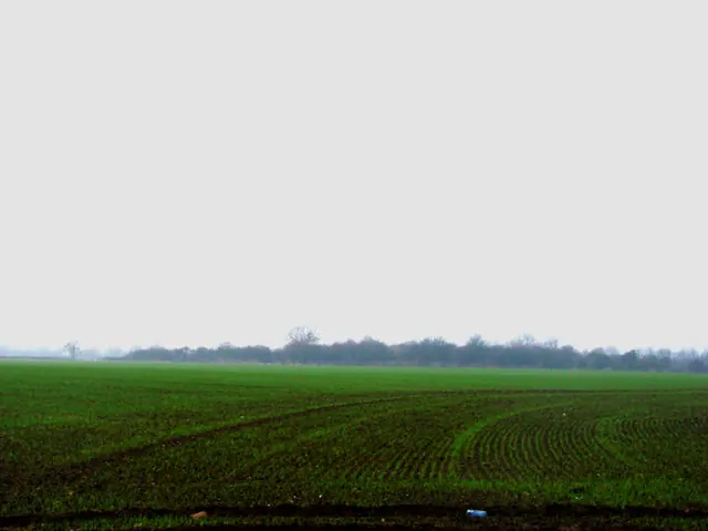
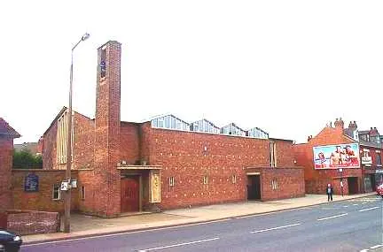
Heritage Around Scawsby
Photographs of churches, listed buildings and monuments in the vicinity, contributed by volunteers to the Geograph project and reused here under a Creative Commons licence.
© Bill Henderson · Geograph · CC BY-SA 2.0

© Richard Croft · Geograph · CC BY-SA 2.0
© Bill Henderson · Geograph · CC BY-SA 2.0
Images © their respective photographers, licensed under CC BY-SA 2.0 and reused here with attribution. Photographs depict listed buildings, churches and monuments near this settlement and may show neighbouring villages.
Data derived from the Open Domesday project (opendomesday.org), based on the Domesday Book dataset compiled by Professor J.J.N. Palmer and team. The Domesday Book (1086) is in the public domain.
Found an inaccuracy? [email protected]