Scalby in the Domesday Book (1086)
The settlement of Scalby is recorded in William I’s Domesday survey of 1086, entered under the hundred of Dic in Yorkshire.
Other Settlements in Dic
- Aislaby
- Allerston
- Appleton [le Moors]
- Aschelesmersc
- Aschilesmares
- Barton [le Street]
- Baschebi
- Baschesbi
- Brompton
- Burniston
- Burton [Dale]
- Cawthorn
- Cayton
- Chigogemers
The Meaning of the Name
The name Scalby is of Scandinavian origin. Its final element derives from the Old Norse word bý, a farmstead or village. The first element is most likely a personal name or an early descriptive term, now difficult to recover with certainty. Taken together the name probably meant something close to ‘a farmstead’.
Names of this type are a fingerprint of Scandinavian settlement: they cluster across the old Danelaw, where Norse-speaking settlers renamed or founded villages from the late 9th century onward.
Remarkably, the name has changed little since 1086, when the Domesday scribes wrote it as Scalby.
Listed Buildings Near Scalby
Historic England records 21 listed buildings within about a mile of Scalby. Listing protects structures of special architectural or historic interest, graded I (exceptional), II* (particularly important) and II.
Grade II*
- Church of St Laurence - 0.33 km
Grade II
- 4, Church Beck - 0.23 km
- Sundial Approximately 4 Metres South of the Porch of Church of St Laurence - 0.34 km
- War Memorial at the Church of St Laurence - 0.34 km
- Summerhouse Approximately 50 Metres West of Low Hall Bungalow - 0.39 km
- The Manse - 0.44 km
- The Nag’s Head Inn - 0.46 km
- Howdale Cottage - 0.47 km
- 29 and 31, High Street - 0.47 km
- Melbourne House - 0.5 km
- Gatepiers Within Yew Court Grounds, Approximately 10 Metres to West of House - 0.59 km
- Holt Cottage , the Holt and Scalby Holt - 0.6 km
- Holly Bank - 0.61 km
- Westmeade - 0.63 km
- Ivy Bank - 0.64 km
- Pinfold at Newby Farm, Approximately 30 Metres to North of House - 1.02 km
- Quoits Ground at Newby Farm Approximately 10 Metres to North of House - 1.03 km
- Newby Barn Approximately 3 Metres to North of Newby Farmhouse - 1.04 km
- Pigsty at West End of Outhouse Approximately 25 Metres to North-east of Newby Farmhouse - 1.05 km
- Newby Farmhouse - 1.06 km
- 431, Scalby Road - 1.08 km
Scalby Today
Today Scalby lies within the administrative area of Newby and Scalby.
Read more about modern Scalby on Wikipedia .
Nearby Domesday Settlements
Other places recorded in the 1086 survey within a few miles:
- Stemainesbi - 1.0 km E
- Stemanesbi - 1.0 km E
- Northfield Farm - 2.0 km W
- Suffield - 2.0 km W
- Burniston - 2.2 km NE
- Everley - 3.6 km SW
Heritage Around Scalby
Photographs of churches, listed buildings and monuments in the vicinity, contributed by volunteers to the Geograph project and reused here under a Creative Commons licence.
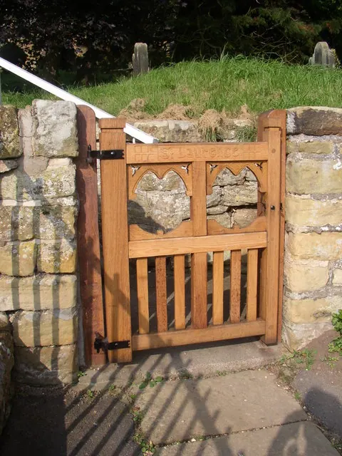
© Humphrey Bolton · Geograph · CC BY-SA 2.0
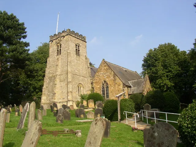
© Humphrey Bolton · Geograph · CC BY-SA 2.0
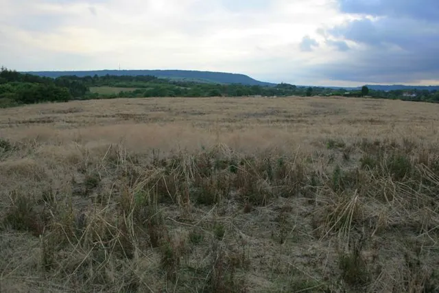
© Mick Garratt · Geograph · CC BY-SA 2.0
Images © their respective photographers, licensed under CC BY-SA 2.0 and reused here with attribution. Photographs depict listed buildings, churches and monuments near this settlement and may show neighbouring villages.
Data derived from the Open Domesday project (opendomesday.org), based on the Domesday Book dataset compiled by Professor J.J.N. Palmer and team. The Domesday Book (1086) is in the public domain.
Found an inaccuracy? [email protected]