Saxehale in the Domesday Book (1086)
The settlement of Saxehale is recorded in William I’s Domesday survey of 1086, entered under the hundred of Barkston in Yorkshire.
Other Settlements in Barkston
- Barkston
- Barlow
- Birkin
- Bramham
- Brayton
- Burton [Hall]
- Camblesforth
- Carlton
- Clifford
- Drax
- Fairburn
- Grimston [Grange]
- Hambleton
- Hazelwood [Castle]
The Meaning of the Name
The origin of the name Saxehale is not securely established from its modern form alone; like many settlement names in the North it likely combines an Old English or Old Norse personal name with a landscape term.
Remarkably, the name has changed little since 1086, when the Domesday scribes wrote it as Saxehale.
Listed Buildings Near Saxehale
Historic England records 50 listed buildings within about a mile of Saxehale. Listing protects structures of special architectural or historic interest, graded I (exceptional), II* (particularly important) and II.
Grade II*
- Church of St Mary - 0.04 km
- The Ark - 0.08 km
- The Old Vicarage - 0.11 km
Grade II
- Sundial Approximately 10 Metres South of South Porch of St Mary’s Church - 0.02 km
- 32, Kirkgate - 0.04 km
- 24, Kirkgate - 0.06 km
- 47, Kirkgate - 0.07 km
- 49, Kirkgate - 0.07 km
- 11, Wharfe Bank Terrace - 0.07 km
- 9, Wharfe Bank Terrace - 0.07 km
- 5 and 7, Wharfe Bank Terrace - 0.08 km
- 3, Wharfe Bank Terrace - 0.09 km
- 1, WHARFE BANK TERRACE (See details for further address information) - 0.1 km
- The Old Sunday School - 0.11 km
- Barclay’s Bank - 0.12 km
- 1, 3 and 5, Bridge Street - 0.13 km
- K6 Outside Numbers 3 and 5 - 0.13 km
- 2, Wharfe Bank Terrace - 0.14 km
- 11, Bridge Street - 0.14 km
- 13, 15 and 17, Bridge Street - 0.14 km
- Wharfe Bridge - 0.15 km
- 21, Bridge Street - 0.15 km
- 19, Bridge Street - 0.15 km
- 10, High Street - 0.16 km
…and 26 more listed structures in the area.
Scheduled Monuments Near Saxehale
Scheduled monuments are nationally important archaeological sites given legal protection. 1 lies within roughly a mile of Saxehale:
- Tadcaster motte and bailey castle - 0.13 km
Saxehale Today
Today Saxehale lies within the administrative area of Selby, and the settlement recorded a population of 5,899 at the 2021 census. Nine and a half centuries separate that figure from the small rural community the Domesday survey recorded here in 1086.
Read more about modern Tadcaster on Wikipedia .
Nearby Domesday Settlements
Other places recorded in the 1086 survey within a few miles:
Heritage Around Saxehale
Photographs of churches, listed buildings and monuments in the vicinity, contributed by volunteers to the Geograph project and reused here under a Creative Commons licence.
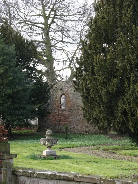
© Gordon Hatton · Geograph · CC BY-SA 2.0
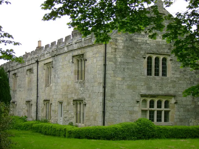
© Sean Diver · Geograph · CC BY-SA 2.0
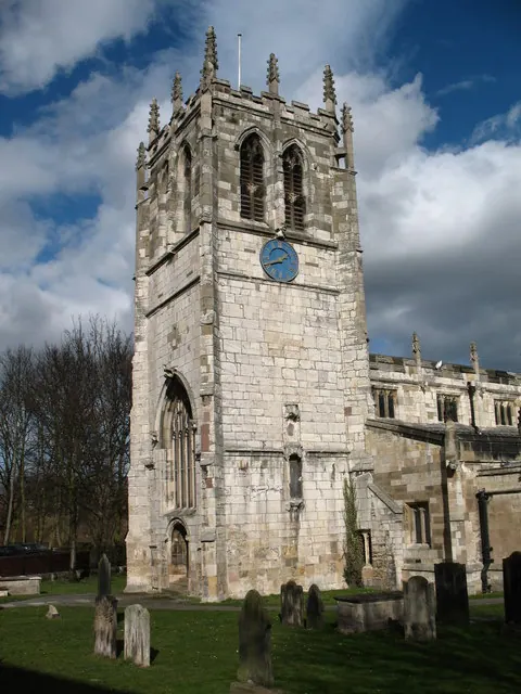
© Gordon Hatton · Geograph · CC BY-SA 2.0
Images © their respective photographers, licensed under CC BY-SA 2.0 and reused here with attribution. Photographs depict listed buildings, churches and monuments near this settlement and may show neighbouring villages.
Data derived from the Open Domesday project (opendomesday.org), based on the Domesday Book dataset compiled by Professor J.J.N. Palmer and team. The Domesday Book (1086) is in the public domain.
Found an inaccuracy? [email protected]