Sawley in the Domesday Book (1086)
Sawley is named in the Domesday Book, compiled by Norman commissioners in 1086, entered under the hundred of Morleystone in Derbyshire. The survey assessed Sawley at 0.2 carucates of taxable land.
At the time of the survey, Sawley supported a recorded population of 3 villagers, 5 smallholders, 2 slaves, working 2 ploughs between them.
The survey records Sawley’s value at 1 shilling in 1086. No pre-Conquest figure survives – not unusual in the North, where records were disrupted by the Harrying and by the patchy coverage of the survey.
Resources Recorded at Sawley (1086)
- Cattle: 13
- Pigs: 14
- Sheep: 50
- Meadow: 8 acres
- Woodland: 0.5 league * 2 furlongs mixed measures
Other Settlements in Morleystone
- Bradley
- Breadsall
- Breaston
- Cellesdene
- Chaddesden
- Codnor
- Crich
- Denby
- Derby
- Draycott
- Duffield
- Hallam
- Heanor
- Herdebi
The Meaning of the Name
The name Sawley is of Anglo-Saxon origin. Its final element derives from the Old English word lēah, a woodland clearing or glade. The first element is most likely a personal name or an early descriptive term, now difficult to recover with certainty. Taken together the name probably meant something close to ‘a clearing’.
Remarkably, the name has changed little since 1086, when the Domesday scribes wrote it as Sawley.
Listed Buildings Near Sawley
Historic England records 10 listed buildings within about a mile of Sawley. Listing protects structures of special architectural or historic interest, graded I (exceptional), II* (particularly important) and II.
Grade I
- Church of All Saints - 0.37 km
Grade II
- Sawley Rectory - 0.35 km
- Bothe Hall - 0.48 km
- Baptist Church - 0.48 km
- North Section of Harrington Bridge at Sk 472 313 - 0.5 km
- Section of Harrington Bridge at Sk 472 312 - 0.55 km
- Stone Built Part of Harrington Bridge - 0.63 km
- River Trent Navigation, Stop Lock,west Side of Tamworth Road Bridge,sawley - 0.73 km
- Tamworth Road Bridge (SPC6 19) - 0.89 km
- Long Eaton Canal Bridge (SPC6 20) - 1.18 km
Scheduled Monuments Near Sawley
Scheduled monuments are nationally important archaeological sites given legal protection. 2 lie within roughly a mile of Sawley:
- Roman fort 200yds (182m) E of All Saints’ Church - 0.14 km
- Moated site SE of Sawley Locks - 0.85 km
Sawley Today
Today Sawley lies within the administrative area of Erewash, and the settlement recorded a population of 6,465 at the 2021 census. Nine and a half centuries separate that figure from the small rural community the Domesday survey recorded here in 1086.
Read more about modern Sawley on Wikipedia .
Nearby Domesday Settlements
Other places recorded in the 1086 survey within a few miles:
Heritage Around Sawley
Photographs of churches, listed buildings and monuments in the vicinity, contributed by volunteers to the Geograph project and reused here under a Creative Commons licence.
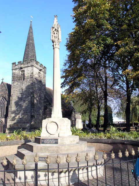
© David Lally · Geograph · CC BY-SA 2.0
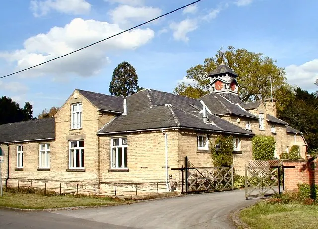
© Chris J Dixon · Geograph · CC BY-SA 2.0
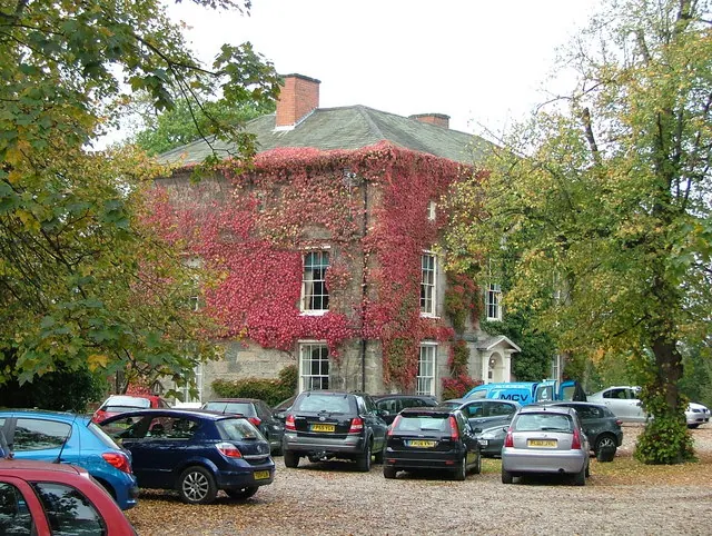
© J147 · Geograph · CC BY-SA 2.0
Images © their respective photographers, licensed under CC BY-SA 2.0 and reused here with attribution. Photographs depict listed buildings, churches and monuments near this settlement and may show neighbouring villages.
Data derived from the Open Domesday project (opendomesday.org), based on the Domesday Book dataset compiled by Professor J.J.N. Palmer and team. The Domesday Book (1086) is in the public domain.
Found an inaccuracy? [email protected]