Sandbach in the Domesday Book (1086)
Sandbach appears in the Domesday Book of 1086, entered under the hundred of Middlewich in Cheshire.
Other Settlements in Middlewich
- Alsager
- Bostock
- Brereton
- Byley
- Clive
- Congleton
- Croxton
- Davenham
- Davenport
- Goostrey
- Hassall
- Kinderton
- Lach [Dennis]
- Leftwich
The Meaning of the Name
The origin of the name Sandbach is not securely established from its modern form alone; like many settlement names in the North it likely combines an Old English or Old Norse personal name with a landscape term.
Remarkably, the name has changed little since 1086, when the Domesday scribes wrote it as Sandbach.
Listed Buildings Near Sandbach
Historic England records 63 listed buildings within about a mile of Sandbach. Listing protects structures of special architectural or historic interest, graded I (exceptional), II* (particularly important) and II.
Grade II
- Grammar School Lodge - 0.28 km
- 32 and 34, Crewe Road - 0.29 km
- 21-25, Crewe Road - 0.35 km
- 11, Hope Street - 0.37 km
- Grammar School - 0.38 km
- Hope Chapel - 0.38 km
- 41, High Street - 0.39 km
- 43B, High Street - 0.39 km
- George Hotel - 0.39 km
- 17, High Street - 0.4 km
- Outbuildings of Old Hall Hotel - 0.4 km
- 45, High Street - 0.4 km
- 4, Hope Street - 0.4 km
- 5 and 7, Hightown - 0.41 km
- 53 and 55, High Street - 0.41 km
- 34, High Street - 0.41 km
- 6, Middlewich Road - 0.41 km
- 49 and 51, High Street - 0.41 km
- 38, High Street - 0.41 km
- 47, High Street - 0.41 km
- 36, High Street - 0.41 km
- 40-44, High Street - 0.42 km
- War Memorial - 0.42 km
- 1-5, 5A and 7, Market Square - 0.42 km
…and 39 more listed structures in the area.
Scheduled Monuments Near Sandbach
Scheduled monuments are nationally important archaeological sites given legal protection. 3 lie within roughly a mile of Sandbach:
- Sandbach Anglo-Saxon crosses - 0.46 km
- Standing medieval cross 10m south of the nave of St Mary’s Church - 0.46 km
- Early medieval sculptural fragments in St Mary’s churchyard - 0.46 km
Sandbach Today
Today Sandbach lies within the administrative area of Cheshire East.
Nearby Domesday Settlements
Other places recorded in the 1086 survey within a few miles:
Heritage Around Sandbach
Photographs of churches, listed buildings and monuments in the vicinity, contributed by volunteers to the Geograph project and reused here under a Creative Commons licence.
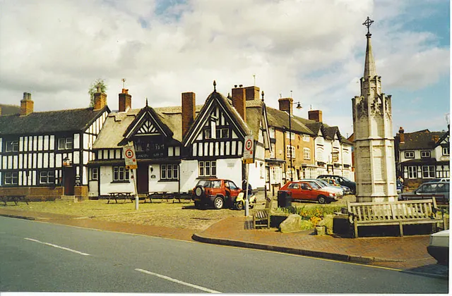
© Colin Smith · Geograph · CC BY-SA 2.0
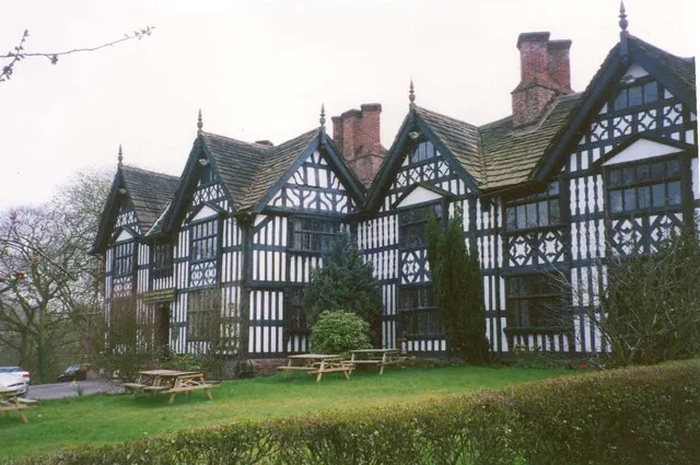
© Humphrey Bolton · Geograph · CC BY-SA 2.0
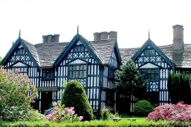
© www fotodiscs4u co uk · Geograph · CC BY-SA 2.0
Images © their respective photographers, licensed under CC BY-SA 2.0 and reused here with attribution. Photographs depict listed buildings, churches and monuments near this settlement and may show neighbouring villages.
Data derived from the Open Domesday project (opendomesday.org), based on the Domesday Book dataset compiled by Professor J.J.N. Palmer and team. The Domesday Book (1086) is in the public domain.
Found an inaccuracy? [email protected]