Sand Hutton in the Domesday Book (1086)
The settlement of Sand Hutton is recorded in William I’s Domesday survey of 1086, entered under the hundred of Yarlestre in Yorkshire.
At the time of the survey, Sand Hutton supported a recorded population of 6 smallholders, 1 slave, working 1 plough between them.
By 1086 Sand Hutton was worth 15d, up from 0d before the Conquest – a sign this community came through the Conquest without being ruined.
Resources Recorded at Sand Hutton (1086)
- Woodland: 40 * 40 perches
Other Settlements in Yarlestre
- Arden [Hall]
- Asenby
- Bagby
- Baxby
- Bergebi
- Berghebi
- Bernebi
- Boltby
- Breckenbrough
- Carlton [Husthwaite]
- Carlton [Miniott]
- Catton
- Coxwold
- Crakehill
The Meaning of the Name
The name Sand Hutton is of Anglo-Saxon origin. Its final element derives from the Old English word tūn, a farmstead or village. The first element is most likely a personal name or an early descriptive term, now difficult to recover with certainty. Taken together the name probably meant something close to ‘a farmstead’.
Remarkably, the name has changed little since 1086, when the Domesday scribes wrote it as Sand Hutton.
Listed Buildings Near Sand Hutton
Historic England records 5 listed buildings within about a mile of Sand Hutton. Listing protects structures of special architectural or historic interest, graded I (exceptional), II* (particularly important) and II.
Grade II
- Winns Cottage - 0.49 km
- Harker House - 0.52 km
- Glenroyd - 0.54 km
- Methodist Chapel - 0.59 km
- The Hollies - 0.64 km
Sand Hutton Today
Today Sand Hutton lies within the administrative area of Hambleton, and the settlement recorded a population of 246 at the 2021 census. Nine and a half centuries separate that figure from the small rural community the Domesday survey recorded here in 1086.
Read more about modern Sandhutton on Wikipedia .
Nearby Domesday Settlements
Other places recorded in the 1086 survey within a few miles:
- Breckenbrough - 1.0 km N
- Carlton Miniott - 1.4 km SE
- Kirby Wiske - 2.2 km NW
- Newsham - 2.2 km NW
- Holme - 3.0 km W
- Howe - 3.6 km SW
Heritage Around [Sand] Hutton
Photographs of churches, listed buildings and monuments in the vicinity, contributed by volunteers to the Geograph project and reused here under a Creative Commons licence.
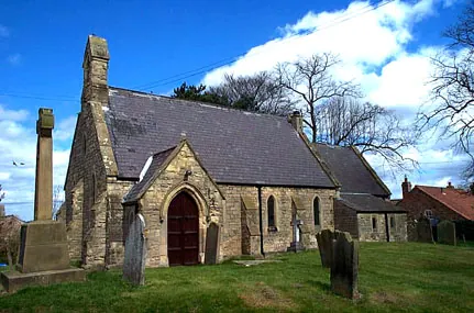
© Bill Henderson · Geograph · CC BY-SA 2.0
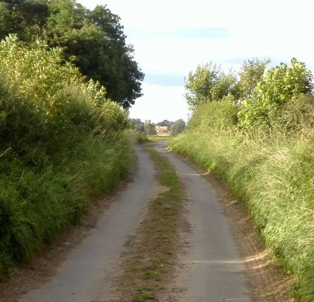
© Steve Reeves · Geograph · CC BY-SA 2.0
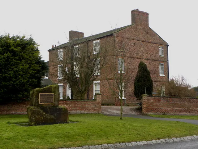
© David Rogers · Geograph · CC BY-SA 2.0
Images © their respective photographers, licensed under CC BY-SA 2.0 and reused here with attribution. Photographs depict listed buildings, churches and monuments near this settlement and may show neighbouring villages.
Data derived from the Open Domesday project (opendomesday.org), based on the Domesday Book dataset compiled by Professor J.J.N. Palmer and team. The Domesday Book (1086) is in the public domain.
Found an inaccuracy? [email protected]