Salford in the Domesday Book (1086)
The 1086 Domesday survey records the settlement of Salford, entered under the hundred of Salford in Cheshire.
Other Settlements in Salford
The Meaning of the Name
The name Salford is of Anglo-Saxon origin. Its final element derives from the Old English word ford, a river crossing. The first element is most likely a personal name or an early descriptive term, now difficult to recover with certainty. Taken together the name probably meant something close to ‘a ford’.
Remarkably, the name has changed little since 1086, when the Domesday scribes wrote it as Salford.
Listed Buildings Near Salford
Historic England records 206 listed buildings within about a mile of Salford. Listing protects structures of special architectural or historic interest, graded I (exceptional), II* (particularly important) and II.
Grade II*
- Church of St Philip - 0.16 km
- Cathedral of St John and Attached Cathedral House - 0.23 km
Grade II
- Lancashire Fusiliers Memorial - 0.05 km
- Islington Mill, Including Engine and Boiler Houses, Warehouse and Stabling - 0.12 km
- Eleven Bollards on South Side of Church of St Philip - 0.13 km
- Eight Bollards on West Side of St Philips Church - 0.14 km
- 17, the Crescent - 0.2 km
- 6-12, Encombe Place - 0.21 km
- 19, 20 and 21, the Crescent - 0.21 km
- Court House and Attached Gates and Railings - 0.21 km
- Railings, Walls, Gate Piers and Gates to Cathedral of St John - 0.22 km
- 1, Massey Street - 0.23 km
- Salford Education Offices - 0.25 km
- 22-34, the Crescent - 0.31 km
- Wall, Archways and Gates to Courtyard of Town Hall - 0.32 km
- 1, Hulme Place - 0.32 km
- Town Hall - 0.36 km
- Former Williams Deacon Bank - 0.37 km
- Independent Chapel - 0.41 km
- Kings Arms Public House - 0.54 km
- Arlington House - 0.56 km
- Irwell Street Bridge (That Part in Salford Civil Parish) - 0.57 km
- Statue of Prince Albert - 0.57 km
- Albert Warehouse Quay on West Side Fronting River Irwell Victoria Warehouse - 0.58 km
…and 182 more listed structures in the area.
Scheduled Monuments Near Salford
Scheduled monuments are nationally important archaeological sites given legal protection. 2 lie within roughly a mile of Salford:
- Remains of eastern wall of the Roman fort - 1.11 km
- The Hanging Bridge immediately south of Manchester Cathedral - 1.28 km
Nearby Domesday Settlements
Other places recorded in the 1086 survey within a few miles:
- Manchester - 1.0 km E
- Baguley - 8.1 km S
- Northenden - 9.1 km S
- Radcliffe - 9.8 km NW
- Alretunstall - 10.8 km S
- Ashton -under-Lyne - 11.0 km E
Heritage Around Salford
Photographs of churches, listed buildings and monuments in the vicinity, contributed by volunteers to the Geograph project and reused here under a Creative Commons licence.
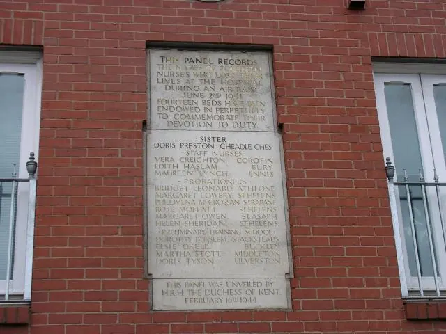
© Keith Williamson · Geograph · CC BY-SA 2.0
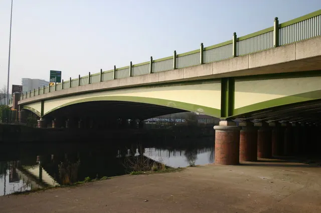
© R lee · Geograph · CC BY-SA 2.0
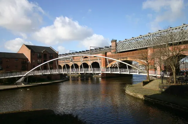
© R lee · Geograph · CC BY-SA 2.0
Images © their respective photographers, licensed under CC BY-SA 2.0 and reused here with attribution. Photographs depict listed buildings, churches and monuments near this settlement and may show neighbouring villages.
Data derived from the Open Domesday project (opendomesday.org), based on the Domesday Book dataset compiled by Professor J.J.N. Palmer and team. The Domesday Book (1086) is in the public domain.
Found an inaccuracy? [email protected]