Salescale in the Domesday Book (1086)
Salescale appears in the Domesday Book of 1086, entered under the hundred of Maneshou in Yorkshire. The survey assessed Salescale at 2.2 carucates of taxable land.
At the time of the survey, Salescale supported a recorded population of 43 villagers, 53 smallholders, 4 slaves, working 39 ploughs between them.
The survey records Salescale’s value at 20.5 shillings in 1086. No pre-Conquest figure survives – not unusual in the North, where records were disrupted by the Harrying and by the patchy coverage of the survey.
The survey lists 3 manors at Salescale under different lords. Splitting a single settlement between multiple tenants was common across the North – Saxon estates broken up and handed to William’s followers after 1066.
Resources Recorded at Salescale (1086)
- Cattle: 5
- Pigs: 12
- Sheep: 200
- Meadow: 2 None
- Woodland: 80 None
Other Settlements in Maneshou
- Amotherby
- Ampleforth
- Appleton [le Street]
- Beadlam
- Brawby
- Broughton
- Cawton
- Coulton
- Fadmoor
- Fryton
- Gillamoor
- Gilling [East]
- Griff [Farm]
- Grimston
The Meaning of the Name
The origin of the name Salescale is not securely established from its modern form alone; like many settlement names in the North it likely combines an Old English or Old Norse personal name with a landscape term.
Remarkably, the name has changed little since 1086, when the Domesday scribes wrote it as Salescale.
Listed Buildings Near Salescale
Historic England records 4 listed buildings within about a mile of Salescale. Listing protects structures of special architectural or historic interest, graded I (exceptional), II* (particularly important) and II.
Grade II
- Farmbuildings Approximately 2 Metres North of Howe Farmhouse - 1.03 km
- Howe Farmhouse - 1.04 km
- Acomb House Farmhouse - 1.09 km
- Milepost - 1.16 km
Salescale Today
Today Salescale lies within the administrative area of Habton.
Read more about modern Ryton on Wikipedia .
Nearby Domesday Settlements
Other places recorded in the 1086 survey within a few miles:
- Ryton - 0.0 km N
- Wykeham Hill - 2.0 km E
- Wykeham - 2.0 km E
- Old Malton - 3.0 km S
- Broughton - 3.6 km SW
- Norton - 4.0 km S
Heritage Around Salescale
Photographs of churches, listed buildings and monuments in the vicinity, contributed by volunteers to the Geograph project and reused here under a Creative Commons licence.
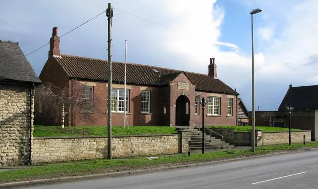
© David Rogers · Geograph · CC BY-SA 2.0
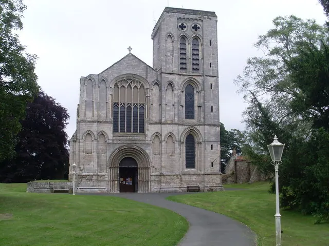
© David Hillas · Geograph · CC BY-SA 2.0
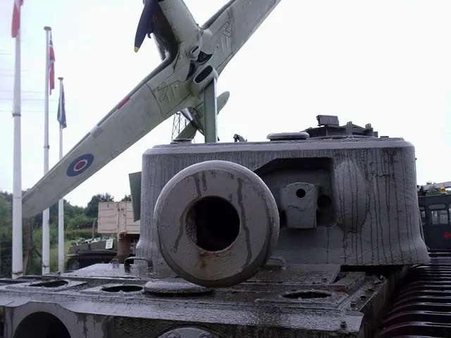
© Lee Cooper · Geograph · CC BY-SA 2.0
Images © their respective photographers, licensed under CC BY-SA 2.0 and reused here with attribution. Photographs depict listed buildings, churches and monuments near this settlement and may show neighbouring villages.
Data derived from the Open Domesday project (opendomesday.org), based on the Domesday Book dataset compiled by Professor J.J.N. Palmer and team. The Domesday Book (1086) is in the public domain.
Found an inaccuracy? [email protected]