Saighton in the Domesday Book (1086)
The settlement of Saighton is recorded in William I’s Domesday survey of 1086, entered under the hundred of Duddeston in Cheshire.
Other Settlements in Duddeston
- Bettisfield
- Bickerton
- Bickley
- Boughton
- Broxton
- Burwardestone
- Burwardsley and [Higher] Burwardsley
- Caldecott
- Calvintone
- Cheaveley
- Cholmondeley
- Chowley
- Christleton
- Clutton
The Meaning of the Name
The name Saighton is of Anglo-Saxon origin. Its final element derives from the Old English word tūn, a farmstead or village. The first element is most likely a personal name or an early descriptive term, now difficult to recover with certainty. Taken together the name probably meant something close to ‘a farmstead’.
Remarkably, the name has changed little since 1086, when the Domesday scribes wrote it as Saighton.
Listed Buildings Near Saighton
Historic England records 16 listed buildings within about a mile of Saighton. Listing protects structures of special architectural or historic interest, graded I (exceptional), II* (particularly important) and II.
Grade I
- Abbey Gate College Gatehouse Gateway - 0.73 km
Grade II
- Garden Walls to the Old Vicarage - 0.49 km
- Saighton Primary School and Attached Railings - 0.49 km
- K6 Telephone Kiosk Opposite Saighton Primary School - 0.51 km
- The Old Vicarage - 0.52 km
- Wall Between Elm House Garden and Drive to the Old Vicarage Coachhouse - 0.53 km
- Elm House - 0.55 km
- Water Tower - 0.58 km
- Saihgton Lane Farm - 0.58 km
- Saighton Lane Farm, the Farm Buildings - 0.61 km
- Abbey Gate College Chapel (Formerly Saighton Grange Chapel) - 0.69 km
- Boundary Wall North and West of Abbey Gate College - 0.69 km
- Abbey Gate College, the Main Block Except the Gatehouse - 0.71 km
- Saighton Hall - 0.94 km
- The Old Station - 1.15 km
- Former Goods Shed 20 Metres North of the Old Station - 1.17 km
Scheduled Monuments Near Saighton
Scheduled monuments are nationally important archaeological sites given legal protection. 1 lies within roughly a mile of Saighton:
- Roman camp 50m south of Elm Bank - 1.59 km
Saighton Today
Today Saighton lies within the administrative area of Aldford and Saighton, and the settlement recorded a population of 202 at the 2011 census. Nine and a half centuries separate that figure from the small rural community the Domesday survey recorded here in 1086.
Read more about modern Saighton on Wikipedia .
Nearby Domesday Settlements
Other places recorded in the 1086 survey within a few miles:
Heritage Around Saighton
Photographs of churches, listed buildings and monuments in the vicinity, contributed by volunteers to the Geograph project and reused here under a Creative Commons licence.
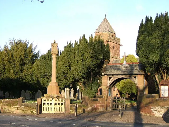
© BrianPritchard · Geograph · CC BY-SA 2.0
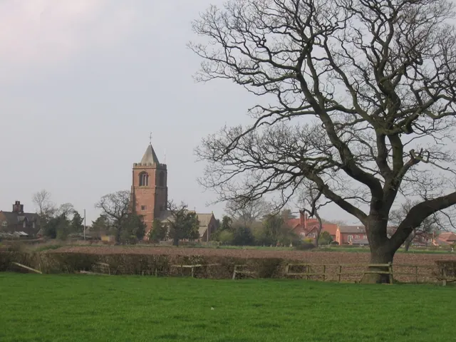
© John S Turner · Geograph · CC BY-SA 2.0
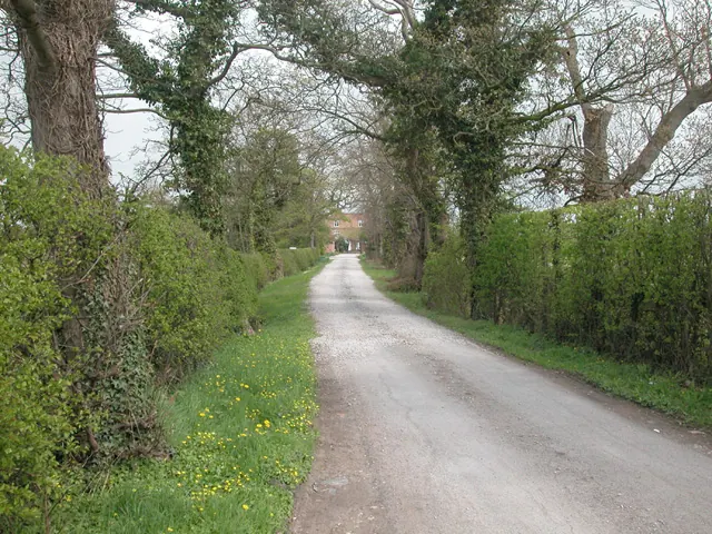
© Dennis Turner · Geograph · CC BY-SA 2.0
Images © their respective photographers, licensed under CC BY-SA 2.0 and reused here with attribution. Photographs depict listed buildings, churches and monuments near this settlement and may show neighbouring villages.
Data derived from the Open Domesday project (opendomesday.org), based on the Domesday Book dataset compiled by Professor J.J.N. Palmer and team. The Domesday Book (1086) is in the public domain.
Found an inaccuracy? [email protected]