Ryther in the Domesday Book (1086)
The settlement of Ryther is recorded in William I’s Domesday survey of 1086, entered under the hundred of Barkston in Yorkshire. The survey assessed Ryther at 11 carucates of taxable land.
At the time of the survey, Ryther supported a recorded population of 14 villagers, 15 smallholders, working 10 ploughs between them.
By 1086 Ryther was worth 16 shillings, up from 10 shillings before the Conquest – a sign this community came through the Conquest without being ruined.
Resources Recorded at Ryther (1086)
- Mills: 3 mills (valued at 5.46 shillings)
- Salthouses: 4
- Woodland: 1 * 0.5 leagues
Other Settlements in Barkston
- Barkston
- Barlow
- Birkin
- Bramham
- Brayton
- Burton [Hall]
- Camblesforth
- Carlton
- Clifford
- Drax
- Fairburn
- Grimston [Grange]
- Hambleton
- Hazelwood [Castle]
The Meaning of the Name
The origin of the name Ryther is not securely established from its modern form alone; like many settlement names in the North it likely combines an Old English or Old Norse personal name with a landscape term.
Remarkably, the name has changed little since 1086, when the Domesday scribes wrote it as Ryther.
Listed Buildings Near Ryther
Historic England records 2 listed buildings within about a mile of Ryther. Listing protects structures of special architectural or historic interest, graded I (exceptional), II* (particularly important) and II.
Grade I
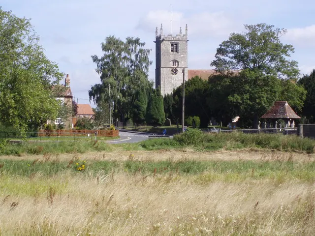
- Church of All Saints - 0.12 km
Grade II
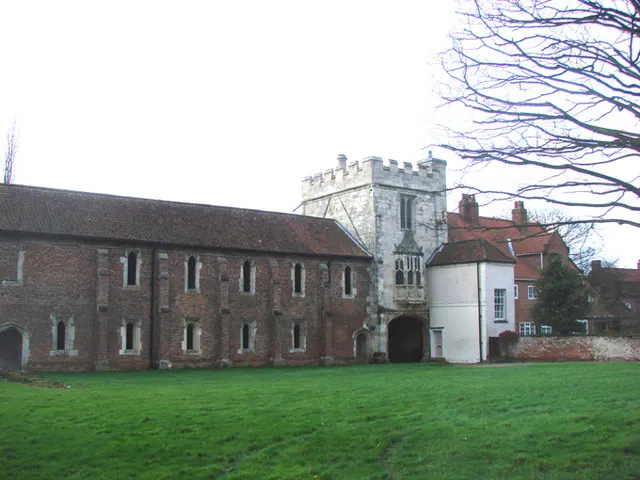
- Nun Appleton Hall - 0.44 km
Scheduled Monuments Near Ryther
Scheduled monuments are nationally important archaeological sites given legal protection. 1 lies within roughly a mile of Ryther:
Ryther Today
Today Ryther lies within the administrative area of Ryther cum Ossendyke.
Nearby Domesday Settlements
Other places recorded in the 1086 survey within a few miles:
- Acaster Selby - 2.2 km NE
- Bolton Percy - 2.8 km NW
- Appleton Roebuck - 3.0 km N
- Stillingfleet - 4.1 km E
- Kelfield - 4.1 km E
- Neuhuse - 4.1 km W
Heritage Around Ryther
Photographs of churches, listed buildings and monuments in the vicinity, contributed by volunteers to the Geograph project and reused here under a Creative Commons licence.
© Graham Hermon · Geograph · CC BY-SA 2.0
© Andrew Whale · Geograph · CC BY-SA 2.0
© Bill Henderson · Geograph · CC BY-SA 2.0
Images © their respective photographers, licensed under CC BY-SA 2.0 and reused here with attribution. Photographs depict listed buildings, churches and monuments near this settlement and may show neighbouring villages.
Data derived from the Open Domesday project (opendomesday.org), based on the Domesday Book dataset compiled by Professor J.J.N. Palmer and team. The Domesday Book (1086) is in the public domain.
Found an inaccuracy? [email protected]