Rudston in the Domesday Book (1086)
Rudston is named in the Domesday Book, compiled by Norman commissioners in 1086, entered under the hundred of Burton in Yorkshire.
Other Settlements in Burton
- Binnington
- Boythorpe
- Burton [Agnes]
- Butterwick
- Carnaby
- Fornetorp
- Ganton
- Gransmoor
- Haisthorpe
- Harpham
- Kilham
- Langtoft
- Lowthorpe
- Octon
The Meaning of the Name
The name Rudston is of Anglo-Saxon origin. Its final element derives from the Old English word tūn, a farmstead or village. The first element is most likely a personal name or an early descriptive term, now difficult to recover with certainty. Taken together the name probably meant something close to ‘a farmstead’.
Remarkably, the name has changed little since 1086, when the Domesday scribes wrote it as Rudston.
Listed Buildings Near Rudston
Historic England records 9 listed buildings within about a mile of Rudston. Listing protects structures of special architectural or historic interest, graded I (exceptional), II* (particularly important) and II.
Grade I
- Church of All Saints - 0.31 km
- Monolith Approximately 7 Metres North of Church of All Saints - 0.33 km
- Dairy at Thorpe Hall - 1.26 km
Grade II
- Buttercup Cottage - 0.18 km
- Rudston War Memorial - 0.4 km
- Bridge Approximately 500 Metres South West of Thorpe Hall - 1.02 km
- Stable Block at Thorpe Hall - 1.17 km
- Bridge, Approximately 60 Metres South East of Stable Block at Thorpe Hall - 1.21 km
- Game Larder at Thorpe Hall - 1.27 km
Scheduled Monuments Near Rudston
Scheduled monuments are nationally important archaeological sites given legal protection. 4 lie within roughly a mile of Rudston:
- Standing stone known as the Rudston Monolith - 0.33 km
- Roman villa site - 1.05 km
- Earthwork on the Sheepwalk stretching N from Wold Gate for 530yds (480m) - 1.4 km
- South Side Mount round barrow, 350m north west of Woldgate reservoir - 1.44 km
Rudston Today
Today Rudston lies within the administrative area of East Riding of Yorkshire, and the settlement recorded a population of 426 at the 2021 census. Nine and a half centuries separate that figure from the small rural community the Domesday survey recorded here in 1086.
Read more about modern Rudston on Wikipedia .
Nearby Domesday Settlements
Other places recorded in the 1086 survey within a few miles:
- Low Caythorpe - 2.0 km E
- Thorpe Hall - 2.2 km NE
- Boynton - 4.0 km E
- Boynton Hall - 4.0 km E
- Burton Agnes - 4.1 km S
- Grindale - 4.2 km NE
Heritage Around Rudston
Photographs of churches, listed buildings and monuments in the vicinity, contributed by volunteers to the Geograph project and reused here under a Creative Commons licence.
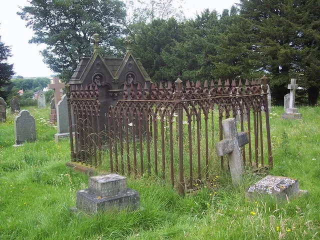
© Maigheach-gheal · Geograph · CC BY-SA 2.0
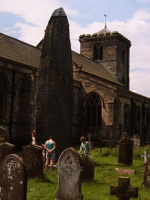
© Matthew Wragg · Geograph · CC BY-SA 2.0
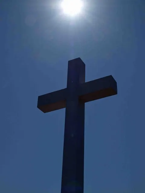
© Steve Fareham · Geograph · CC BY-SA 2.0
Images © their respective photographers, licensed under CC BY-SA 2.0 and reused here with attribution. Photographs depict listed buildings, churches and monuments near this settlement and may show neighbouring villages.
Data derived from the Open Domesday project (opendomesday.org), based on the Domesday Book dataset compiled by Professor J.J.N. Palmer and team. The Domesday Book (1086) is in the public domain.
Found an inaccuracy? [email protected]