Rudfarlington in the Domesday Book (1086)
Rudfarlington appears in the Domesday Book of 1086, entered under the hundred of Burghshire in Yorkshire.
Other Settlements in Burghshire
- Addlethorpe
- Aismunderby
- Aldfield
- Allerton [Mauleverer]
- Arkendale
- Askwith
- Azerley
- Barrowby [Grange]
- Beckwith [House]
- Besthaim
- Bestham
- Bewerley
- Bilton
- Birstwith
The Meaning of the Name
The name Rudfarlington is of Anglo-Saxon origin. Its final element derives from the Old English word tūn, a farmstead or village. The first element is most likely a personal name or an early descriptive term, now difficult to recover with certainty. Taken together the name probably meant something close to ‘a farmstead’.
Remarkably, the name has changed little since 1086, when the Domesday scribes wrote it as Rudfarlington.
Listed Buildings Near Rudfarlington
Historic England records 16 listed buildings within about a mile of Rudfarlington. Listing protects structures of special architectural or historic interest, graded I (exceptional), II* (particularly important) and II.
Grade II*
- Stables to Plompton Hall - 1.19 km
- Plompton Hall and Flanking Walls - 1.21 km
Grade II
- Outbuilding, Barn and Wheel-house Attached to Wingate Farmhouse - 0.75 km
- Wingate Farmhouse - 0.75 km
- Small Building Approximately 30 Metres West of Stables at Plompton Hall - 1.14 km
- Cart Shed Approximately 30 Metres North of Plompton Hall Farmhouse - 1.15 km
- Plompton Hall Farmhouse - 1.17 km
- Wall Between Plompton Hall Stables and Farmhouse - 1.17 km
- Pier Attached to North End of Stables West Range - 1.17 km
- Barn and Outbuildings to North East of Plompton Hall Farmhouse - 1.18 km
- Wall Attached to South of Plompton Hall Stables, West Range - 1.19 km
- Bilton Court Entrance Gates - 1.21 km
- Boathouse on East Side of Lake - 1.22 km
- Bilton Court - 1.24 km
- Bilton Court coach house and stable block - 1.25 km
- Dam at South End of Lake - 1.26 km
Nearby Domesday Settlements
Other places recorded in the 1086 survey within a few miles:
- Plompton Hall - 1.0 km E
- Knaresborough - 2.2 km NE
- Great Braham - 2.2 km SE
- Little Braham - 2.2 km SE
- Caldeuuelle - 3.6 km SE
- Cradeuuelle - 3.6 km SE
Heritage Around Rudfarlington
Photographs of churches, listed buildings and monuments in the vicinity, contributed by volunteers to the Geograph project and reused here under a Creative Commons licence.
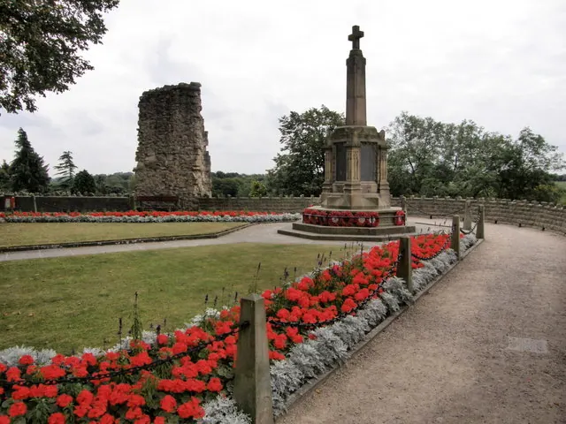
© R J McNaughton · Geograph · CC BY-SA 2.0
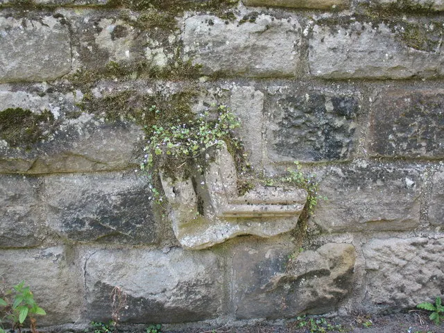
© Gordon Hatton · Geograph · CC BY-SA 2.0
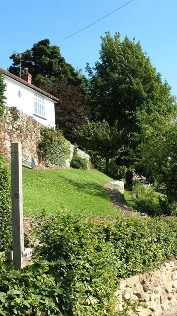
© Gordon Hatton · Geograph · CC BY-SA 2.0
Images © their respective photographers, licensed under CC BY-SA 2.0 and reused here with attribution. Photographs depict listed buildings, churches and monuments near this settlement and may show neighbouring villages.
Data derived from the Open Domesday project (opendomesday.org), based on the Domesday Book dataset compiled by Professor J.J.N. Palmer and team. The Domesday Book (1086) is in the public domain.
Found an inaccuracy? [email protected]