Rudby in the Domesday Book (1086)
The settlement of Rudby is recorded in William I’s Domesday survey of 1086, entered under the hundred of Langbaurgh in Yorkshire. The survey assessed Rudby at 1 carucate of taxable land.
At the time of the survey, Rudby supported a recorded population of 3 villagers, 4 smallholders, 3 slaves, working 2 ploughs between them.
The survey records Rudby’s value at 8d in 1086. No pre-Conquest figure survives – not unusual in the North, where records were disrupted by the Harrying and by the patchy coverage of the survey.
Resources Recorded at Rudby (1086)
- Mills: 1 mill (valued at 3d)
Other Settlements in Langbaurgh
- Acklam
- Airy [Holme]
- Aislaby
- Arnodestorp
- Baldebi
- Barnaby
- Barwick
- Battersby
- Bergolbi
- Berguluesbi
- Blaten [Carr]
- Borrowby
- Breck
- Brotton
The Meaning of the Name
The name Rudby is of Scandinavian origin. Its final element derives from the Old Norse word bý, a farmstead or village. The first element is most likely a personal name or an early descriptive term, now difficult to recover with certainty. Taken together the name probably meant something close to ‘a farmstead’.
Names of this type are a fingerprint of Scandinavian settlement: they cluster across the old Danelaw, where Norse-speaking settlers renamed or founded villages from the late 9th century onward.
Remarkably, the name has changed little since 1086, when the Domesday scribes wrote it as Rudby.
Listed Buildings Near Rudby
Historic England records 24 listed buildings within about a mile of Rudby. Listing protects structures of special architectural or historic interest, graded I (exceptional), II* (particularly important) and II.
Grade I
- Church of All Saints - 0.45 km
Grade II*
- Old Hall Cottage Sexhow Hall - 0.31 km
- Skutterskelfe Hall, the Butler’s Pantry, Rosedene and Briardene - 0.97 km
Grade II
- Hutton Bridge - 0.45 km
- Hutton Bridge - 0.46 km
- The Bay Horse Inn - 0.53 km
- Pair of Second World War Pillboxes, Stokesley Road - 0.54 km
- 3 and 4, East Side - 0.56 km
- The Obus - 0.57 km
- Hutton House - 0.59 km
- 17, North Side - 0.65 km
- 22, North Side - 0.69 km
- The Old School - 0.71 km
- Rudby Green Farmhouse - 0.71 km
- North Lodge and Gateway - 0.76 km
- Pump House to South-west of Skutterskelfe Hall - 0.77 km
- K6 Telephone Kiosk - 0.84 km
- 29 North End - 0.86 km
- 24, North End - 0.9 km
- 8, North End - 0.9 km
- Enterpen Farmhouse and attached stable - 0.92 km
- Terrace Walls and Balustrade, Garden Wall and Gate Piers to South and West of Skutterskelfe Hall - 0.94 km
- 41, Enterpen - 0.95 km
- Linden Grange - 1.18 km
Rudby Today
Today Rudby lies within the administrative area of North Yorkshire, and the settlement recorded a population of 297 at the 2021 census. Nine and a half centuries separate that figure from the small rural community the Domesday survey recorded here in 1086.
Read more about modern Rudby on Wikipedia .
Nearby Domesday Settlements
Other places recorded in the 1086 survey within a few miles:
- Hutton Rudby - 1.0 km W
- Skutterskelfe Hall - 1.4 km NE
- Goulton Grange - 2.0 km S
- Thoraldby Farm - 2.2 km NE
- Foxton - 2.8 km NW
- Crathorne - 3.2 km W
Heritage Around Rudby
Photographs of churches, listed buildings and monuments in the vicinity, contributed by volunteers to the Geograph project and reused here under a Creative Commons licence.
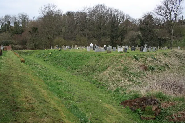
© Mick Garratt · Geograph · CC BY-SA 2.0
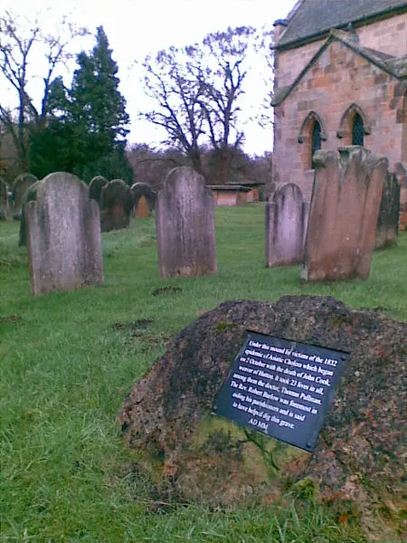
© Geoff Royle · Geograph · CC BY-SA 2.0
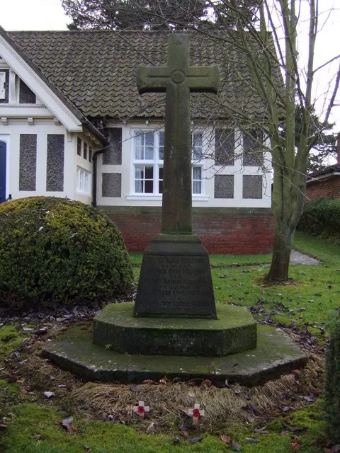
© JThomas · Geograph · CC BY-SA 2.0
Images © their respective photographers, licensed under CC BY-SA 2.0 and reused here with attribution. Photographs depict listed buildings, churches and monuments near this settlement and may show neighbouring villages.
Data derived from the Open Domesday project (opendomesday.org), based on the Domesday Book dataset compiled by Professor J.J.N. Palmer and team. The Domesday Book (1086) is in the public domain.
Found an inaccuracy? [email protected]