Roxby Hill in the Domesday Book (1086)
The 1086 Domesday survey records the settlement of Roxby Hill, entered under the hundred of Dic in Yorkshire.
Other Settlements in Dic
- Aislaby
- Allerston
- Appleton [le Moors]
- Aschelesmersc
- Aschilesmares
- Barton [le Street]
- Baschebi
- Baschesbi
- Brompton
- Burniston
- Burton [Dale]
- Cawthorn
- Cayton
- Chigogemers
The Meaning of the Name
The name Roxby Hill is of Scandinavian origin. Its final element derives from the Old Norse word bý, a farmstead or village. The first element is most likely a personal name or an early descriptive term, now difficult to recover with certainty. Taken together the name probably meant something close to ‘a farmstead’.
Names of this type are a fingerprint of Scandinavian settlement: they cluster across the old Danelaw, where Norse-speaking settlers renamed or founded villages from the late 9th century onward.
Remarkably, the name has changed little since 1086, when the Domesday scribes wrote it as Roxby Hill.
Listed Buildings Near Roxby Hill
Historic England records 47 listed buildings within about a mile of Roxby Hill. Listing protects structures of special architectural or historic interest, graded I (exceptional), II* (particularly important) and II.
Grade II
- Stone Cottage - 0.47 km
- Rose Cottage - 0.47 km
- Westgate Farmhouse and Attached Outbuilding and Granary - 0.52 km
- Westfield Cottage and Attached Outbuilding - 0.52 km
- Hall Garth Farmhouse - 0.64 km
- Cruck Cottage and Attached Outbuilding - 0.74 km
- Box Tree House - 0.74 km
- Brookfield - 0.75 km
- Brooklet House - 0.77 km
- Bleach Mill Farmhouse - 0.77 km
- Ivy Cottage - 0.78 km
- Rookwood - 0.78 km
- Rose Tree Cottage - 0.82 km
- Rorty Crankle - 0.82 km
- Roxby Farm Cottage - 0.84 km
- Roxby Cottage - 0.86 km
- Roxby House - 0.86 km
- The Dales - 0.87 km
- The Old Vicarage - 0.88 km
- Hall Farmhouse - 0.9 km
- Keepers Cottage - 0.93 km
- New Inn Cottages - 0.93 km
- Wardill Brothers - 0.94 km
- The New Inn - 0.95 km
…and 23 more listed structures in the area.
Scheduled Monuments Near Roxby Hill
Scheduled monuments are nationally important archaeological sites given legal protection. 2 lie within roughly a mile of Roxby Hill:
- Roxby Hill manorial complex and associated ridge and furrow earthworks - 0.46 km
- Standing cross 180m north of Hall Farm - 0.97 km
Nearby Domesday Settlements
Other places recorded in the 1086 survey within a few miles:
- Chigogemers - 1.4 km NE
- Chigomersc - 1.4 km NE
- Ghigogesmersc - 1.4 km NE
- Kettlethorpe - 1.4 km NE
- Thornton Dale - 1.4 km NE
- Ellerburn - 2.8 km NE
Heritage Around Roxby [Hill]
Photographs of churches, listed buildings and monuments in the vicinity, contributed by volunteers to the Geograph project and reused here under a Creative Commons licence.
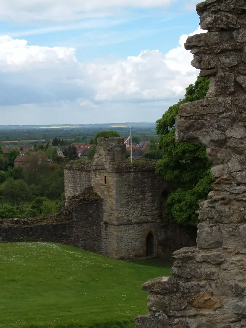
© Alison Stamp · Geograph · CC BY-SA 2.0
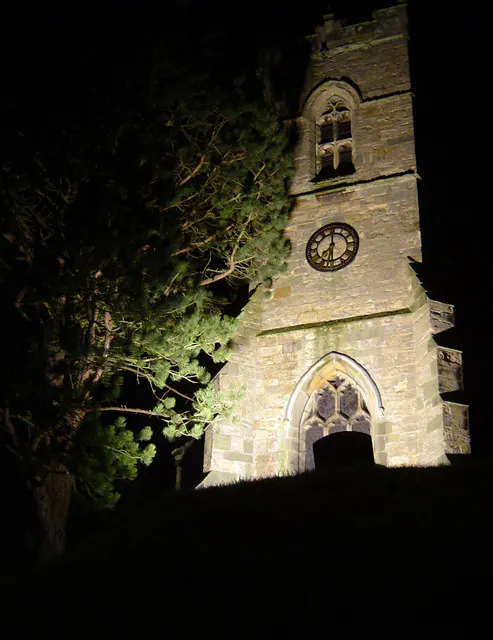
© Scott Robinson · Geograph · CC BY-SA 2.0
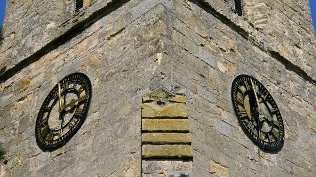
© Alan Walker · Geograph · CC BY-SA 2.0
Images © their respective photographers, licensed under CC BY-SA 2.0 and reused here with attribution. Photographs depict listed buildings, churches and monuments near this settlement and may show neighbouring villages.
Data derived from the Open Domesday project (opendomesday.org), based on the Domesday Book dataset compiled by Professor J.J.N. Palmer and team. The Domesday Book (1086) is in the public domain.
Found an inaccuracy? [email protected]