Rowsley in the Domesday Book (1086)
The settlement of Rowsley is recorded in William I’s Domesday survey of 1086, entered under the hundred of Blackwell in Derbyshire.
Other Settlements in Blackwell
- Abney
- Ashford [-in-the-Water]
- Aston
- Bakewell
- Bamford
- Baslow
- Beeley
- Birchills
- Birchover
- Blackwell
- Bradwell
- Bubnell
- Burley
- Burton
The Meaning of the Name
The name Rowsley is of Anglo-Saxon origin. Its final element derives from the Old English word lēah, a woodland clearing or glade. The first element is most likely a personal name or an early descriptive term, now difficult to recover with certainty. Taken together the name probably meant something close to ‘a clearing’.
Remarkably, the name has changed little since 1086, when the Domesday scribes wrote it as Rowsley.
Listed Buildings Near Rowsley
Historic England records 30 listed buildings within about a mile of Rowsley. Listing protects structures of special architectural or historic interest, graded I (exceptional), II* (particularly important) and II.
Grade II*
- Caudwells Mill - 0.28 km
- The Peacock Hotel - 0.4 km
- Rowsley Bridge - 0.43 km
Grade II
- Wye Bridge House - 0.32 km
- Sycamore Cottage Vicarage Cottage - 0.32 km
- Wye Cottage - 0.32 km
- Village School Attached Wall and Lavatories - 0.32 km
- Ivy House and Bank House - 0.33 km
- Vernon House - 0.34 km
- Beech House Dye Cottage - 0.35 km
- Toll Cottage - 0.37 km
- Lamp Standard - 0.37 km
- Bridge House Farmhouse - 0.37 km
- Drinking Fountain South West of the Peacock Hotel - 0.37 km
- Holly House the Beeches - 0.38 km
- Stables at Peacock Hotel - 0.42 km
- 1 and 2 Midland Cottages - 0.5 km
- Railway Viaduct, Embank ment and Overbridge to the East of Church Farm - 0.51 km
- Rowsley Old Station - 0.6 km
- War Memorial Circa 15 Metres South South West of St Katherine’s Church - 0.6 km
- Lychgate and Steps South West of Rowsley Church - 0.61 km
- Church of St Katherine - 0.62 km
- Pilhough Farmhouse and Attached Cottage and Barn - 0.8 km
- Stanton Old Hall - 0.89 km
…and 6 more listed structures in the area.
Scheduled Monuments Near Rowsley
Scheduled monuments are nationally important archaeological sites given legal protection. 1 lies within roughly a mile of Rowsley:
- Rowsley Bridge - 0.43 km
Rowsley Today
Today Rowsley lies within the administrative area of Derbyshire Dales, and the settlement recorded a population of 520 at the 2021 census. Nine and a half centuries separate that figure from the small rural community the Domesday survey recorded here in 1086.
Read more about modern Rowsley on Wikipedia .
Nearby Domesday Settlements
Other places recorded in the 1086 survey within a few miles:
Heritage Around Rowsley
Photographs of churches, listed buildings and monuments in the vicinity, contributed by volunteers to the Geograph project and reused here under a Creative Commons licence.
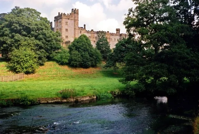
© Lynne Kirton · Geograph · CC BY-SA 2.0
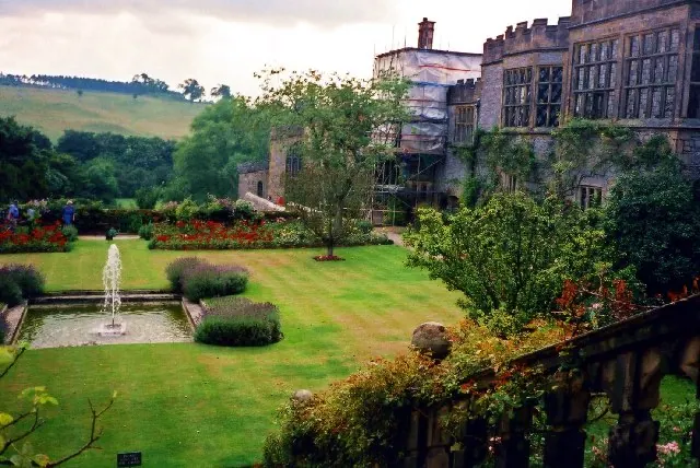
© Lynne Kirton · Geograph · CC BY-SA 2.0
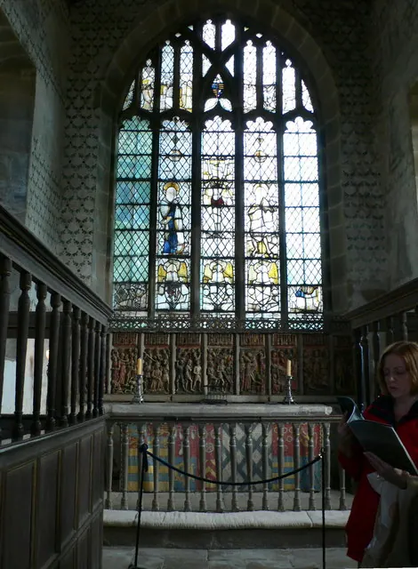
© Eirian Evans · Geograph · CC BY-SA 2.0
Images © their respective photographers, licensed under CC BY-SA 2.0 and reused here with attribution. Photographs depict listed buildings, churches and monuments near this settlement and may show neighbouring villages.
Data derived from the Open Domesday project (opendomesday.org), based on the Domesday Book dataset compiled by Professor J.J.N. Palmer and team. The Domesday Book (1086) is in the public domain.
Found an inaccuracy? [email protected]