Rowland in the Domesday Book (1086)
The settlement of Rowland is recorded in William I’s Domesday survey of 1086, entered under the hundred of Blackwell in Derbyshire.
Other Settlements in Blackwell
- Abney
- Ashford [-in-the-Water]
- Aston
- Bakewell
- Bamford
- Baslow
- Beeley
- Birchills
- Birchover
- Blackwell
- Bradwell
- Bubnell
- Burley
- Burton
The Meaning of the Name
The origin of the name Rowland is not securely established from its modern form alone; like many settlement names in the North it likely combines an Old English or Old Norse personal name with a landscape term.
Remarkably, the name has changed little since 1086, when the Domesday scribes wrote it as Rowland.
Listed Buildings Near Rowland
Historic England records 16 listed buildings within about a mile of Rowland. Listing protects structures of special architectural or historic interest, graded I (exceptional), II* (particularly important) and II.
Grade I
- Church of All Saints - 0.76 km
Grade II*
- Hassop Hall - 0.64 km
Grade II
- Gatepiers and Attached Archway to Hassop Park - 0.48 km
- Orangery at Hassop Hall - 0.57 km
- Ballroom and Range of Outbuildings at Hassop Hall - 0.61 km
- Stable Block at Hassop Hall - 0.69 km
- Gazebo Gates and Walls at Entrance to Hassop Hall - 0.74 km
- Ice House in Hassop Park - 0.75 km
- Outbuilding to West of Dowager House - 0.75 km
- Home Farmhouse and Attached Outbuildings - 0.76 km
- North Lodge to Hassop Hall and Attached Wall - 0.76 km
- Dowager House - 0.77 km
- Farmbuilding 100 metres South South West of the Eyre Arms Public House - 0.85 km
- Eyre Arms Public House including flanking walls - 0.88 km
- South Lodge to Hassop Hall - 0.89 km
- South Gates to Hassop Hall - 0.91 km
Scheduled Monuments Near Rowland
Scheduled monuments are nationally important archaeological sites given legal protection. 4 lie within roughly a mile of Rowland:
- A group of three lead working coes, a shaft and a dressing floor on Longstone Edge - 0.73 km
- Blake Low bowl barrow - 1.11 km
- Cross ridge dyke, 800m east of Bleaklow - 1.45 km
- Brightside lead mine, 80m south west of Brightside Cottage - 1.54 km
Rowland Today
Today Rowland lies within the administrative area of Derbyshire Dales, and the settlement recorded a population of 25 at the 2021 census. Nine and a half centuries separate that figure from the small rural community the Domesday survey recorded here in 1086.
Read more about modern Rowland on Wikipedia .
Nearby Domesday Settlements
Other places recorded in the 1086 survey within a few miles:
- Hassop - 1.0 km E
- Great Longstone - 1.4 km SW
- Little? Longstone - 2.2 km SW
- Birchills - 2.2 km SE
- Bubnell - 3.0 km E
- Holme - 3.0 km S
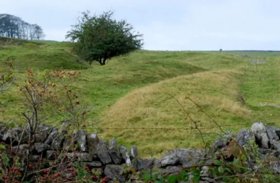
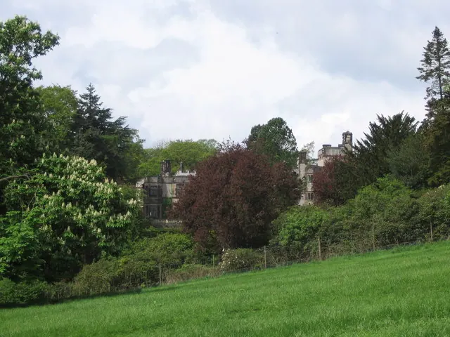
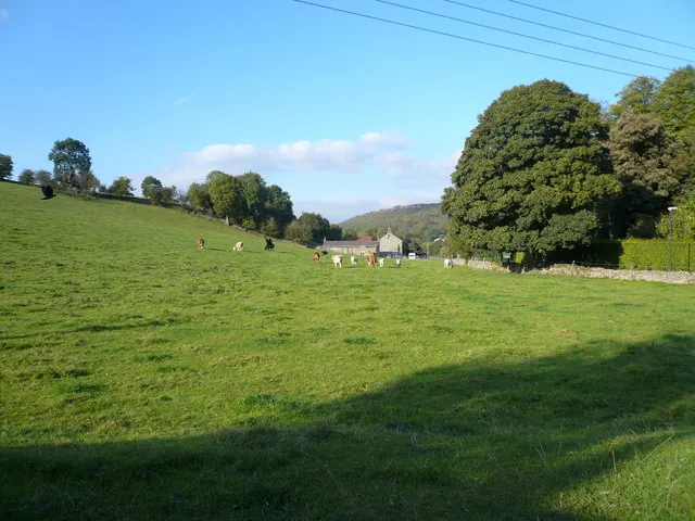
Heritage Around Rowland
Photographs of churches, listed buildings and monuments in the vicinity, contributed by volunteers to the Geograph project and reused here under a Creative Commons licence.
© Roger Temple · Geograph · CC BY-SA 2.0
© George Wolfe · Geograph · CC BY-SA 2.0
© Alan Heardman · Geograph · CC BY-SA 2.0
Images © their respective photographers, licensed under CC BY-SA 2.0 and reused here with attribution. Photographs depict listed buildings, churches and monuments near this settlement and may show neighbouring villages.
Data derived from the Open Domesday project (opendomesday.org), based on the Domesday Book dataset compiled by Professor J.J.N. Palmer and team. The Domesday Book (1086) is in the public domain.
Found an inaccuracy? [email protected]