Rowden in the Domesday Book (1086)
The settlement of Rowden is recorded in William I’s Domesday survey of 1086, entered under the hundred of Burghshire in Yorkshire.
Other Settlements in Burghshire
- Addlethorpe
- Aismunderby
- Aldfield
- Allerton [Mauleverer]
- Arkendale
- Askwith
- Azerley
- Barrowby [Grange]
- Beckwith [House]
- Besthaim
- Bestham
- Bewerley
- Bilton
- Birstwith
The Meaning of the Name
The origin of the name Rowden is not securely established from its modern form alone; like many settlement names in the North it likely combines an Old English or Old Norse personal name with a landscape term.
Remarkably, the name has changed little since 1086, when the Domesday scribes wrote it as Rowden.
Listed Buildings Near Rowden
Historic England records 13 listed buildings within about a mile of Rowden. Listing protects structures of special architectural or historic interest, graded I (exceptional), II* (particularly important) and II.
Grade II
- Milepost at Se 2560 5672 - 0.74 km
- Cote Syke Farmhouse - 0.76 km
- Hookstone Garth - 0.79 km
- Saltergate Hill Farmhouse - 0.97 km
- Grove House and Rowden House - 1.01 km
- The Old Mill - 1.01 km
- The Grange and Attached Barn - 1.09 km
- Thompsons Garth and Mally’s Cottage - 1.11 km
- High Stores House - 1.12 km
- Swincliffe Side Farmhouse - 1.13 km
- Boundary Stone 100 Metres South West of the Ian Tetley Memorial School - 1.18 km
- Boundary Stone 100 Metres North West of the Ian Tetley Memorial School - 1.22 km
- Cockhill Packhorse Bridge - 1.27 km
Nearby Domesday Settlements
Other places recorded in the 1086 survey within a few miles:
- Felliscliffe - 2.2 km SW
- Birstwith - 2.8 km NW
- Killinghall - 3.2 km E
- Whipley Hall - 3.2 km N
- Ripley - 4.2 km NE
- Nidd - 5.8 km NE
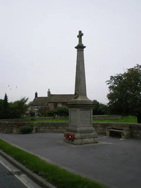
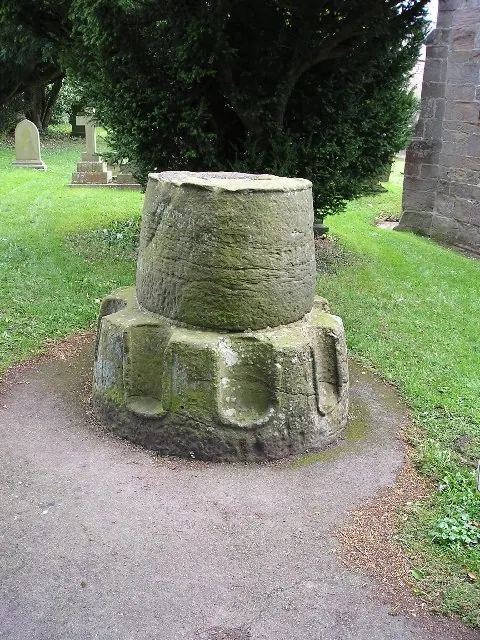
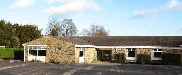
Heritage Around Rowden
Photographs of churches, listed buildings and monuments in the vicinity, contributed by volunteers to the Geograph project and reused here under a Creative Commons licence.
© Richard Law · Geograph · CC BY-SA 2.0
© Richard Swales · Geograph · CC BY-SA 2.0
© Gordon Hatton · Geograph · CC BY-SA 2.0
Images © their respective photographers, licensed under CC BY-SA 2.0 and reused here with attribution. Photographs depict listed buildings, churches and monuments near this settlement and may show neighbouring villages.
Data derived from the Open Domesday project (opendomesday.org), based on the Domesday Book dataset compiled by Professor J.J.N. Palmer and team. The Domesday Book (1086) is in the public domain.
Found an inaccuracy? [email protected]