Rotherham in the Domesday Book (1086)
Rotherham is named in the Domesday Book, compiled by Norman commissioners in 1086, entered under the hundred of Strafforth in Yorkshire.
Other Settlements in Strafforth
- Adwick [le Street]
- Adwick [upon Dearne]
- Armthorpe
- Aston
- Attercliffe
- Auckley
- Aughton [Hall]
- Austerfield
- Balby
- Barnbrough
- Barnby [Dun]
- Bentley
- Bilham [House]
- Billingley
The Meaning of the Name
The name Rotherham is of Anglo-Saxon origin. Its final element derives from the Old English word hām, a homestead or village. The first element is most likely a personal name or an early descriptive term, now difficult to recover with certainty. Taken together the name probably meant something close to ‘a homestead’.
Remarkably, the name has changed little since 1086, when the Domesday scribes wrote it as Rotherham.
Listed Buildings Near Rotherham
Historic England records 40 listed buildings within about a mile of Rotherham. Listing protects structures of special architectural or historic interest, graded I (exceptional), II* (particularly important) and II.
Grade II*
- Clifton House - 0.29 km
- Moorgate Hall and Attached Outbuilding - 0.62 km
- 25 and 27, High Street - 0.79 km
Grade II
- Stable-block With Attached Wing Walls, Immediately to East of Clifton House - 0.27 km
- Roman Remains Resited to Rear of Clifton House - 0.28 km
- Sundial at Centre of Rose Garden Approximately 90 Metres to North East of Clifton House - 0.28 km
- Gate Piers at Entrance to Park From Clifton Grove - 0.43 km
- Wellgate Old Hall - 0.45 km
- Lamp Standard Set on Garden Wall Opposite Junction With Mansfield Road - 0.51 km
- War Memorial Near Junction of Doncaster Road and Clifton Lane - 0.51 km
- Feoffees - 0.66 km
- 59 and 61, Moorgate Street - 0.67 km
- 12, Wellgate - 0.69 km
- Milepost Opposite no 144 - 0.73 km
- Williams and Glyns Bank - 0.74 km
- Office Premises of George Wright (Rotherham) Ltd - 0.75 km
- Talbot Lane Methodist Church - 0.76 km
- Gatepiers and Linking Walls Opposite Junction With Middle Lane - 0.8 km
- 29,29A, High Street - 0.8 km
- St. Anthony Coptic Orthodox Church - 0.81 km
- The Factory Shop - 0.82 km
- Remains of the College of Jesus Now Encased Within no 23 College Street and Nos 2, 2A, 4, 6 and 8 Effingham Street - 0.82 km
- Cutlers Arms - 0.85 km
- Milepost Opposite Moorgate Grove - 0.86 km
…and 16 more listed structures in the area.
Scheduled Monuments Near Rotherham
Scheduled monuments are nationally important archaeological sites given legal protection. 1 lies within roughly a mile of Rotherham:
- Old Bridge - 1.05 km
Rotherham Today
Today Rotherham records a population of 109,691 at the 2011 census. Nine and a half centuries separate that figure from the small rural community the Domesday survey recorded here in 1086.
Read more about modern Rotherham on Wikipedia .
Nearby Domesday Settlements
Other places recorded in the 1086 survey within a few miles:
- Whiston - 2.2 km SE
- Dalton - 2.8 km NE
- Kimberworth - 3.2 km W
- Tinsley - 3.6 km SW
- Brinsworth - 3.6 km SW
- Greasbrough - 3.6 km NW
Heritage Around Rotherham
Photographs of churches, listed buildings and monuments in the vicinity, contributed by volunteers to the Geograph project and reused here under a Creative Commons licence.
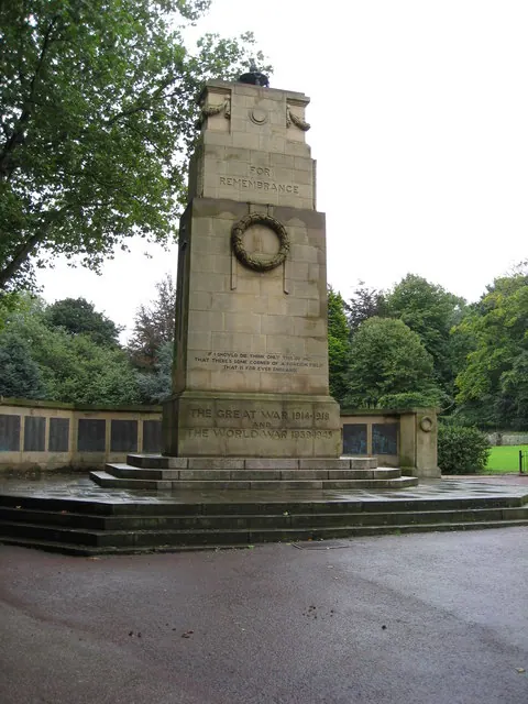
© Alan Heardman · Geograph · CC BY-SA 2.0
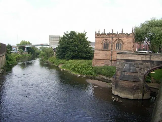
© Stanley Walker · Geograph · CC BY-SA 2.0
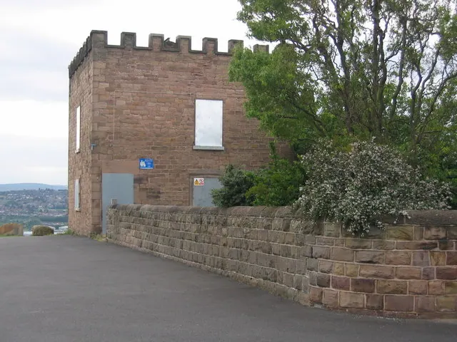
© Nikki Mahadevan · Geograph · CC BY-SA 2.0
Images © their respective photographers, licensed under CC BY-SA 2.0 and reused here with attribution. Photographs depict listed buildings, churches and monuments near this settlement and may show neighbouring villages.
Data derived from the Open Domesday project (opendomesday.org), based on the Domesday Book dataset compiled by Professor J.J.N. Palmer and team. The Domesday Book (1086) is in the public domain.
Found an inaccuracy? [email protected]