Rossall in the Domesday Book (1086)
The settlement of Rossall is recorded in William I’s Domesday survey of 1086, entered under the hundred of Amounderness in Yorkshire.
Other Settlements in Amounderness
- Aighton
- Aldcliffe
- Aldingham
- Arkholme
- Aschebi
- Ashton [Hall]
- Ashton [on Ribble]
- Austwick
- Barbon
- Bardsea
- Bare
- Barnoldswick
- Barton
- Beetham
The Meaning of the Name
The origin of the name Rossall is not securely established from its modern form alone; like many settlement names in the North it likely combines an Old English or Old Norse personal name with a landscape term.
Remarkably, the name has changed little since 1086, when the Domesday scribes wrote it as Rossall.
Listed Buildings Near Rossall
Historic England records 10 listed buildings within about a mile of Rossall. Listing protects structures of special architectural or historic interest, graded I (exceptional), II* (particularly important) and II.
Grade II
- Rossall School Chapel - 0.34 km
- Greenside; the Rest and Ivy Cottage - 0.36 km
- Delph Cottage York Cottage, Red Cottage and Mitre Cottage - 0.4 km
- Wall Leading South From the Gazebo at Rossall School - 0.41 km
- The Gazebo at Rossall School - 0.42 km
- East Range of Quadrangle at Rossall School - 0.43 km
- Rossall School Library - 0.45 km
- West Range of Quadrangle at Rossall School - 0.48 km
- North Range of Quadrangle at Rossall School - 0.5 km
- Falcon House (Block North of James House at Rossall School) - 0.52 km
Rossall Today
Today Rossall lies within the administrative area of Fleetwood.
Read more about modern Rossall on Wikipedia .
Nearby Domesday Settlements
Other places recorded in the 1086 survey within a few miles:
Heritage Around Rossall
Photographs of churches, listed buildings and monuments in the vicinity, contributed by volunteers to the Geograph project and reused here under a Creative Commons licence.
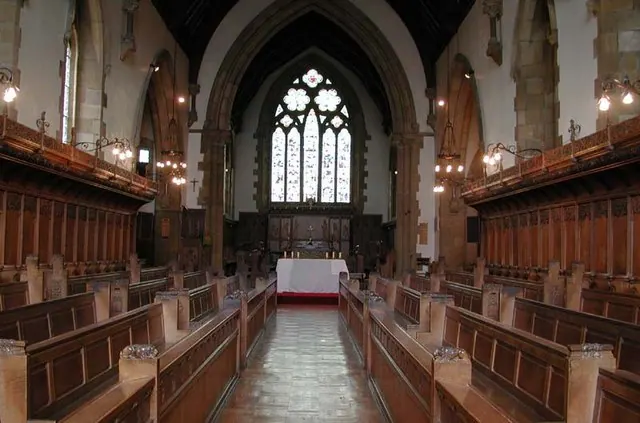
© John Salmon · Geograph · CC BY-SA 2.0
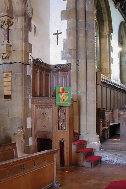
© John Salmon · Geograph · CC BY-SA 2.0
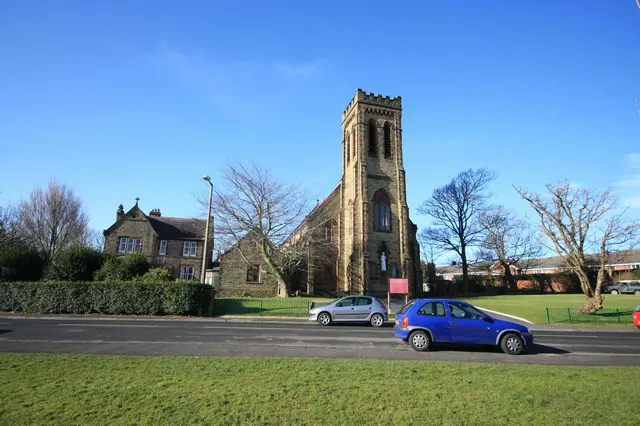
© Bob Jenkins · Geograph · CC BY-SA 2.0
Images © their respective photographers, licensed under CC BY-SA 2.0 and reused here with attribution. Photographs depict listed buildings, churches and monuments near this settlement and may show neighbouring villages.
Data derived from the Open Domesday project (opendomesday.org), based on the Domesday Book dataset compiled by Professor J.J.N. Palmer and team. The Domesday Book (1086) is in the public domain.
Found an inaccuracy? [email protected]