Roskelthorpe in the Domesday Book (1086)
The 1086 Domesday survey records the settlement of Roskelthorpe, entered under the hundred of Langbaurgh in Yorkshire.
Other Settlements in Langbaurgh
- Acklam
- Airy [Holme]
- Aislaby
- Arnodestorp
- Baldebi
- Barnaby
- Barwick
- Battersby
- Bergolbi
- Berguluesbi
- Blaten [Carr]
- Borrowby
- Breck
- Brotton
The Meaning of the Name
The name Roskelthorpe is of Scandinavian origin. Its final element derives from the Old Norse word þorp, an outlying or secondary farmstead. The first element is most likely a personal name or an early descriptive term, now difficult to recover with certainty. Taken together the name probably meant something close to ‘a outlying farm’.
Names of this type are a fingerprint of Scandinavian settlement: they cluster across the old Danelaw, where Norse-speaking settlers renamed or founded villages from the late 9th century onward.
Remarkably, the name has changed little since 1086, when the Domesday scribes wrote it as Roskelthorpe.
Listed Buildings Near Roskelthorpe
Historic England records 32 listed buildings within about a mile of Roskelthorpe. Listing protects structures of special architectural or historic interest, graded I (exceptional), II* (particularly important) and II.
Grade II
- Linden House - 0.63 km
- Boundary Wall Between Kingdom Hall and Dam Street - 0.69 km
- 8, St Hilda’s Place - 0.72 km
- 2-7, St Hilda’s Place - 0.73 km
- Kingdom Hall - 0.74 km
- Blanchland - 0.74 km
- White Horse Public House - 0.75 km
- Barclays Bank - 0.76 km
- Church of St Leonard - 0.76 km
- 1, East Crescent - 0.76 km
- 2 and 3, East Crescent - 0.76 km
- Stable House - 0.77 km
- Drinking Fountain, Trough, War Memorial, Steps and Railings, South-east of No. 39 - 0.77 km
- Golden Lion Hotel - 0.77 km
- Old Beck Cottage - 0.78 km
- Town Hall - 0.79 km
- 36 and 37, High Street - 0.79 km
- The Presbytery - 0.79 km
- Pear Tree Cottage - 0.8 km
- Number 38, Area Retaining Wall, Gatepiers and Angle Piers. - 0.8 km
- 32, 33 and 34, High Street - 0.8 km
- Abrams Buildings - 0.8 km
- The Angel Inn - 0.81 km
- Former National Westminster Bank - 0.81 km
…and 8 more listed structures in the area.
Nearby Domesday Settlements
Other places recorded in the 1086 survey within a few miles:
- South Loftus - 0.0 km N
- Loftus - 1.4 km NW
- Easington - 2.2 km NE
- Kilton - 2.2 km NW
- Liverton - 2.2 km SW
- Kilton Thorpe - 3.0 km W
Heritage Around Roskelthorpe
Photographs of churches, listed buildings and monuments in the vicinity, contributed by volunteers to the Geograph project and reused here under a Creative Commons licence.
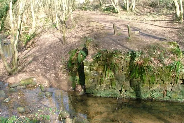
© Mick Garratt · Geograph · CC BY-SA 2.0
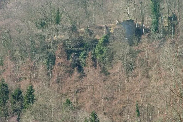
© Mick Garratt · Geograph · CC BY-SA 2.0
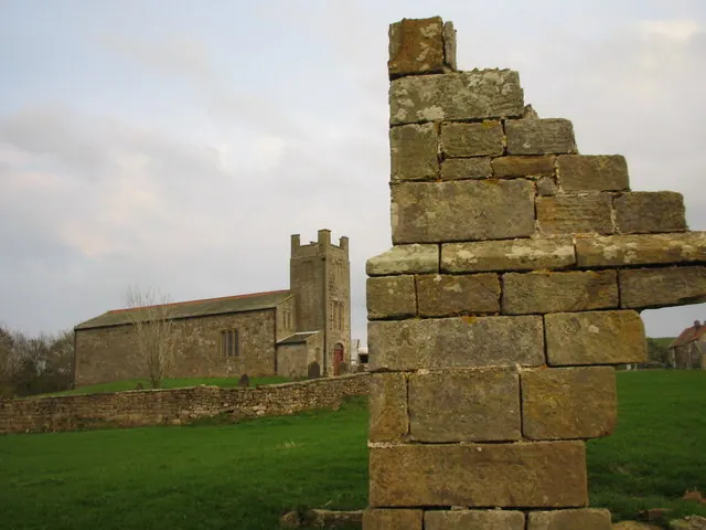
© Chris Twigg · Geograph · CC BY-SA 2.0
Images © their respective photographers, licensed under CC BY-SA 2.0 and reused here with attribution. Photographs depict listed buildings, churches and monuments near this settlement and may show neighbouring villages.
Data derived from the Open Domesday project (opendomesday.org), based on the Domesday Book dataset compiled by Professor J.J.N. Palmer and team. The Domesday Book (1086) is in the public domain.
Found an inaccuracy? [email protected]