Roose in the Domesday Book (1086)
Roose is named in the Domesday Book, compiled by Norman commissioners in 1086, entered under the hundred of Amounderness in Yorkshire.
Other Settlements in Amounderness
- Aighton
- Aldcliffe
- Aldingham
- Arkholme
- Aschebi
- Ashton [Hall]
- Ashton [on Ribble]
- Austwick
- Barbon
- Bardsea
- Bare
- Barnoldswick
- Barton
- Beetham
The Meaning of the Name
The origin of the name Roose is not securely established from its modern form alone; like many settlement names in the North it likely combines an Old English or Old Norse personal name with a landscape term.
Remarkably, the name has changed little since 1086, when the Domesday scribes wrote it as Roose.
Listed Buildings Near Roose
Historic England records 15 listed buildings within about a mile of Roose. Listing protects structures of special architectural or historic interest, graded I (exceptional), II* (particularly important) and II.
Grade II
- Roosecote - 0.55 km
- Roosecote - 0.56 km
- Roosecote - 0.59 km
- Wall Enclosing Garden to Front and South Side of Crofters Public House - 0.59 km
- Barn Immediately to South West of Number 1 Roosecote - 0.61 km
- Crofters Public House - 0.62 km
- Cow House and Barn With Attached Horse Engine House North East of Crofters Public House - 0.62 km
- Group of 3 Former Pigsties and Midden Wall at Crofters Public House - 0.62 km
- Former Cow House and Attached Shelter Shed Immediately North of Crofters Public House - 0.65 km
- 151, Salthouse Road - 1.26 km
- 145 and 147, Salthouse Road - 1.27 km
- Number 153 With Adjoining Farm Buildings - 1.27 km
- Barn on Roadside to North West of Stank Farmhouse - 1.27 km
- Stank Farmhouse and Attached Farm Buildings - 1.27 km
- Number 1 Moorhead Cottages and Attached Barn - 1.3 km
Roose Today
Today Roose lies within the administrative area of Barrow-in-Furness.
Read more about modern Roosecote on Wikipedia .
Nearby Domesday Settlements
Other places recorded in the 1086 survey within a few miles:
Heritage Around Roose
Photographs of churches, listed buildings and monuments in the vicinity, contributed by volunteers to the Geograph project and reused here under a Creative Commons licence.
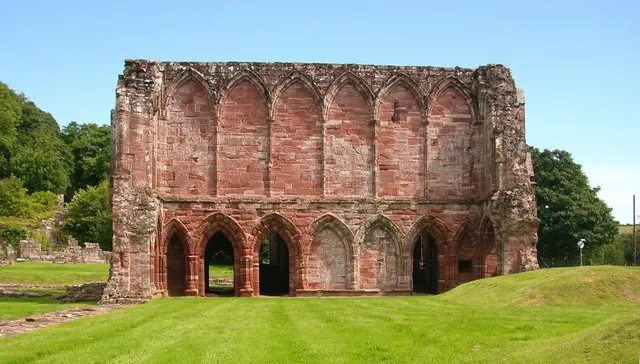
© Stephen Middlemiss · Geograph · CC BY-SA 2.0
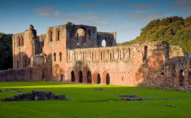
© George Hopkins · Geograph · CC BY-SA 2.0
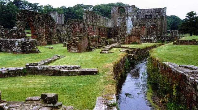
© David Gearing · Geograph · CC BY-SA 2.0
Images © their respective photographers, licensed under CC BY-SA 2.0 and reused here with attribution. Photographs depict listed buildings, churches and monuments near this settlement and may show neighbouring villages.
Data derived from the Open Domesday project (opendomesday.org), based on the Domesday Book dataset compiled by Professor J.J.N. Palmer and team. The Domesday Book (1086) is in the public domain.
Found an inaccuracy? [email protected]