Romiley in the Domesday Book (1086)
Romiley appears in the Domesday Book of 1086, entered under the hundred of Hamestan in Cheshire. The survey assessed Romiley at 5 carucates of taxable land.
At the time of the survey, Romiley supported a recorded population of 5 villagers, 10 smallholders, 4 slaves, working 5 ploughs between them.
The survey records Romiley’s value at 5 shillings in 1086. No pre-Conquest figure survives – not unusual in the North, where records were disrupted by the Harrying and by the patchy coverage of the survey.
Resources Recorded at Romiley (1086)
- Pigs: 9
- Horses (cobs): 2
- Meadow: 40 acres
- Woodland: 10 acres
Other Settlements in Hamestan
- Adlington
- Bosley
- Bramhall
- Bredbury
- Butley
- Capesthorne
- Cheadle
- Chelford
- Cranage
- Gawsworth
- Henbury
- Hollingworth
- Hungrewenitune
- Kermincham
The Meaning of the Name
The name Romiley is of Anglo-Saxon origin. Its final element derives from the Old English word lēah, a woodland clearing or glade. The first element is most likely a personal name or an early descriptive term, now difficult to recover with certainty. Taken together the name probably meant something close to ‘a clearing’.
Remarkably, the name has changed little since 1086, when the Domesday scribes wrote it as Romiley.
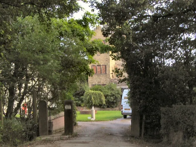
Listed Buildings Near Romiley
Historic England records 20 listed buildings within about a mile of Romiley. Listing protects structures of special architectural or historic interest, graded I (exceptional), II* (particularly important) and II.
Grade II*
- Chadkirk Chapel - 0.48 km
Grade II
- Aqueduct Over Green Lane on Peak Forest Canal - 0.02 km
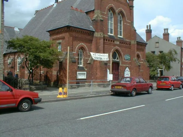
- Hatherlow United Reformed Church - 0.09 km
- The Spread Eagle Public House - 0.11 km
- Hatherlow House - 0.17 km
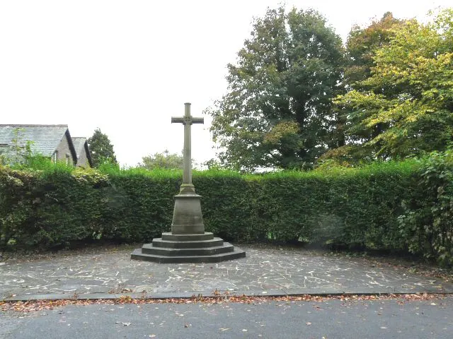
- Romiley War Memorial - 0.27 km
- Chadkirk House - 0.46 km
- Harrytown Hall - 0.52 km
- Church of St Chad - 0.59 km
- Bredbury and Romiley War Memorial - 0.62 km
- Bredbury House - 0.8 km
- Otterspool Bridge - 1.02 km
- Number 15 (West Entrance to Hydebank Tunnel) on Peak Forest Canal - 1.05 km
- Road Bridge Immediately Adjacent to Oakwood Hall Lodge - 1.07 km
- Lower Dale Farmhouse - 1.07 km
- Higher Waterside Farmhouse - 1.12 km
- Barn Immediately North West of Hydebank Farmhouse - 1.18 km
- Hydebank House - 1.19 km
- Number 13 Bridge on Peak Forest Canal - 1.19 km
- Hydebank Farmhouse - 1.19 km
Nearby Domesday Settlements
Other places recorded in the 1086 survey within a few miles:
Heritage Around Romiley
Photographs of churches, listed buildings and monuments in the vicinity, contributed by volunteers to the Geograph project and reused here under a Creative Commons licence.
© Gerald England · Geograph · CC BY-SA 2.0
© Roger May · Geograph · CC BY-SA 2.0
© Gerald England · Geograph · CC BY-SA 2.0
Images © their respective photographers, licensed under CC BY-SA 2.0 and reused here with attribution. Photographs depict listed buildings, churches and monuments near this settlement and may show neighbouring villages.
Data derived from the Open Domesday project (opendomesday.org), based on the Domesday Book dataset compiled by Professor J.J.N. Palmer and team. The Domesday Book (1086) is in the public domain.
Found an inaccuracy? [email protected]