Rochdale in the Domesday Book (1086)
Rochdale is named in the Domesday Book, compiled by Norman commissioners in 1086, entered under the hundred of Salford in Cheshire. The survey assessed Rochdale at 4 carucates of taxable land.
Most significantly, Rochdale is recorded as waste in 1086 - land rendered uninhabitable and valueless. Before the Conquest, the settlement had been assessed at 5d; by 1086 that value had collapsed entirely. This pattern - prosperity before 1066, devastation by 1086 - is the unmistakable signature of the Harrying of the North , William I’s campaign of systematic destruction across Yorkshire in 1069–70.
The survey lists 2 manors at Rochdale under different lords. Splitting a single settlement between multiple tenants was common across the North – Saxon estates broken up and handed to William’s followers after 1066.
Other Settlements in Salford
The Meaning of the Name
The name Rochdale is of Scandinavian origin. Its final element derives from the Old Norse word dalr, a valley. The first element is most likely a personal name or an early descriptive term, now difficult to recover with certainty. Taken together the name probably meant something close to ‘a valley’.
Names of this type are a fingerprint of Scandinavian settlement: they cluster across the old Danelaw, where Norse-speaking settlers renamed or founded villages from the late 9th century onward.
Remarkably, the name has changed little since 1086, when the Domesday scribes wrote it as Rochdale.
Listed Buildings Near Rochdale
Historic England records 61 listed buildings within about a mile of Rochdale. Listing protects structures of special architectural or historic interest, graded I (exceptional), II* (particularly important) and II.
Grade I
- Church of St Mary-in-the-Baum, St Mary’s Gate, Rochdale - 0.14 km
- Rochdale Cenotaph - 0.17 km
- Town Hall - 0.22 km
Grade II*
- Church of Saint Chad - 0.33 km
Grade II
- 17, Yorkshire Street - 0.04 km
- 5, Baillie Street - 0.07 km
- Former Blue Bell Inn - 0.08 km
- The Former Oldham Joint Stock Bank, now HSBC - 0.08 km
- 10, 12, 14 and 16, Baillie Street - 0.09 km
- The former Royds Bank - 0.1 km
- Pillar Box Surmounted by Gas Lamp Adjacent to Number 31 - 0.11 km
- Rochdale Bridge, at the junction of The Esplanade, Yorkshire Street, The Butts, South Parade, Rochdale - 0.11 km
- 31, Toad Lane - 0.12 km
- The Old Post Office - 0.13 km
- The Vicarage - 0.14 km
- Former Union Bank of Manchester, 5 South Parade - 0.14 km
- The Reed Hotel - 0.15 km
- 17A and 19 Baillie Street - 0.15 km
- Lamp posts at each corner of War Memorial - 0.17 km
- Former Post Office, corner of Packer Street and Fleece Street - 0.18 km
- Wellington Hotel - 0.18 km
- Institute for the Deaf, 23 Church Lane, Rochdale - 0.26 km
- Market Cross - 0.27 km
- Wall to North West of Church of Saint Chad - 0.33 km
…and 37 more listed structures in the area.
Rochdale Today
Today Rochdale records a population of 110,194 at the 2016 census. Nine and a half centuries separate that figure from the small rural community the Domesday survey recorded here in 1086.
Read more about modern Rochdale on Wikipedia .
Nearby Domesday Settlements
Other places recorded in the 1086 survey within a few miles:
- Longfield - 10.8 km N
Heritage Around Rochdale
Photographs of churches, listed buildings and monuments in the vicinity, contributed by volunteers to the Geograph project and reused here under a Creative Commons licence.
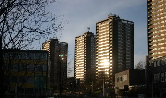
© R lee · Geograph · CC BY-SA 2.0
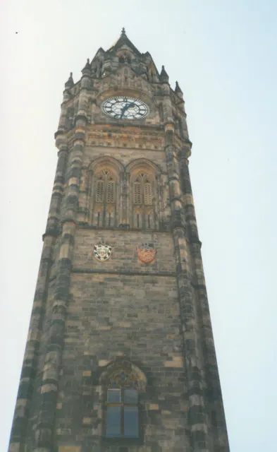
© Stephen Craven · Geograph · CC BY-SA 2.0
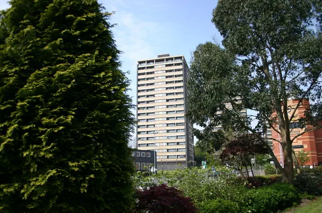
© R lee · Geograph · CC BY-SA 2.0
Images © their respective photographers, licensed under CC BY-SA 2.0 and reused here with attribution. Photographs depict listed buildings, churches and monuments near this settlement and may show neighbouring villages.
Data derived from the Open Domesday project (opendomesday.org), based on the Domesday Book dataset compiled by Professor J.J.N. Palmer and team. The Domesday Book (1086) is in the public domain.
Found an inaccuracy? [email protected]