Ripon in the Domesday Book (1086)
The settlement of Ripon is recorded in William I’s Domesday survey of 1086, entered under the hundred of Burghshire in Yorkshire. The survey assessed Ripon at 3 carucates of taxable land.
At the time of the survey, Ripon supported a recorded population of 17 villagers, 6 smallholders, 2 slaves, working 11 ploughs between them.
The valuation dropped between 1066 and 1086. Before 1066, Ripon was worth 6.5 shillings; by 1086 that had dropped to 5.75 shillings – a fall of 11%. Most Yorkshire villages that lost value on this scale were swept up in the Harrying of the North – William’s scorched-earth campaign of 1069–70.
The survey lists 2 manors at Ripon under different lords. Splitting a single settlement between multiple tenants was common across the North – Saxon estates broken up and handed to William’s followers after 1066.
Resources Recorded at Ripon (1086)
- Mills: 2 mills (valued at 12d)
- Meadow: 0.25 None
- Woodland: 100 pigs
Other Settlements in Burghshire
- Addlethorpe
- Aismunderby
- Aldfield
- Allerton [Mauleverer]
- Arkendale
- Askwith
- Azerley
- Barrowby [Grange]
- Beckwith [House]
- Besthaim
- Bestham
- Bewerley
- Bilton
- Birstwith
The Meaning of the Name
The origin of the name Ripon is not securely established from its modern form alone; like many settlement names in the North it likely combines an Old English or Old Norse personal name with a landscape term.
Remarkably, the name has changed little since 1086, when the Domesday scribes wrote it as Ripon.
Listed Buildings Near Ripon
Historic England records 268 listed buildings within about a mile of Ripon. Listing protects structures of special architectural or historic interest, graded I (exceptional), II* (particularly important) and II.
Grade I
Grade II*
- Deans Croft - 0.17 km
- The Old Deanery - 0.32 km
- The Court House - 0.34 km
Grade II
- The Fleece Public House - 0.11 km
- 30, 31 and 32, St Marygate - 0.14 km
- 44 and 45, Allhallowgate - 0.14 km
- 42, Allhallowgate - 0.15 km
- 28 and 29, St Marygate - 0.15 km
- 50 to 51 and 53 to 56, Allhallowgate - 0.16 km
- 21, St Marygate - 0.2 km
- Sewer Gas Lamp - 0.21 km
- 22, 23 and 24, St Marygate - 0.21 km
- 25 and 26, St Marygate - 0.22 km
- 57-74, Allhallowgate - 0.22 km
- ‘Abbot Huby’s’ Wall From Number 26 As Far As Minster Road - 0.25 km
- Railway Bridge Near the Recreation Ground - 0.29 km
- The Lodge (County of North Yorkshire Social Services Department and Probation Services) - 0.29 km
- Sharow View (County of North Yorkshire Social Services Department and Probation Services) - 0.3 km
- Almshouses of Hospital of St Mary Magdalene - 0.3 km
- 76, 77 and 78, Allhallowgate - 0.32 km
- Stretch of Wall on West Side Running From Junction With Minster Road For Approximately One Hundred Yards - 0.34 km
- Chapel of St Mary Magdalene - 0.34 km
- 2, Old Market Place - 0.35 km
…and 244 more listed structures in the area.
Scheduled Monuments Near Ripon
Scheduled monuments are nationally important archaeological sites given legal protection. 3 lie within roughly a mile of Ripon:
- Ripon Minster Close - 0.34 km
- Ailey Hill - 0.35 km
- St Anne’s Chapel - 0.49 km
Ripon Today
Today Ripon lies within the administrative area of Harrogate, and the settlement recorded a population of 16,590 at the 2021 census. Nine and a half centuries separate that figure from the small rural community the Domesday survey recorded here in 1086.
Read more about modern Ripon on Wikipedia .
Nearby Domesday Settlements
Other places recorded in the 1086 survey within a few miles:
- Hashundebi - 1.0 km E
- Studley Roger - 2.2 km SW
- Copt Hewick - 2.2 km SE
- Suthauuic - 2.2 km SE
- Sutheuuic - 2.2 km SE
- Hutton Conyers - 2.2 km NE
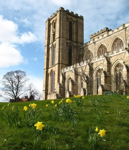
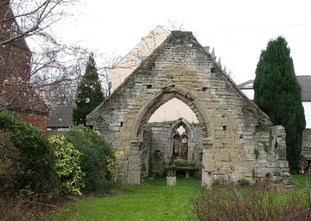
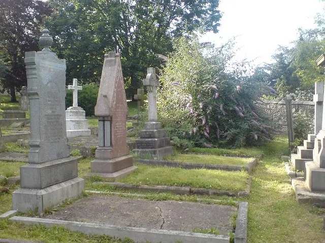
Heritage Around Ripon
Photographs of churches, listed buildings and monuments in the vicinity, contributed by volunteers to the Geograph project and reused here under a Creative Commons licence.
© Gordon Hatton · Geograph · CC BY-SA 2.0
© Gordon Hatton · Geograph · CC BY-SA 2.0
© Rich Tea · Geograph · CC BY-SA 2.0
Images © their respective photographers, licensed under CC BY-SA 2.0 and reused here with attribution. Photographs depict listed buildings, churches and monuments near this settlement and may show neighbouring villages.
Data derived from the Open Domesday project (opendomesday.org), based on the Domesday Book dataset compiled by Professor J.J.N. Palmer and team. The Domesday Book (1086) is in the public domain.
Found an inaccuracy? [email protected]