Rimington in the Domesday Book (1086)
The 1086 Domesday survey records the settlement of Rimington, entered under the hundred of Craven in Yorkshire. The survey assessed Rimington at 5.3 carucates of taxable land.
At the time of the survey, Rimington supported a recorded population of 8 villagers, 14 smallholders, 6 slaves, 22 freemanmen, working 14 ploughs between them.
By 1086 Rimington was worth 8 shillings, up from 6 shillings before the Conquest – which sets it apart from the many nearby villages left waste or devalued.
The survey lists 3 manors at Rimington under different lords. Splitting a single settlement between multiple tenants was common across the North – Saxon estates broken up and handed to William’s followers after 1066.
Resources Recorded at Rimington (1086)
- Mills: 1 mill
- Meadow: 11 acres
- Woodland: 60 pigs
Other Settlements in Craven
- Addingham
- Airton
- Anley
- Appletreewick
- Arncliffe
- Arnford
- Barnoldswick
- Bashall [Eaves]
- Battersby [Barn]
- Beamsley
- Birkby [Hall]
- Bogeuurde
- Bolton [Abbey]
- Bolton [by Bowland]
The Meaning of the Name
The name Rimington is of Anglo-Saxon origin. Its final element derives from the Old English word tūn, a farmstead or village. The first element is most likely a personal name or an early descriptive term, now difficult to recover with certainty. Taken together the name probably meant something close to ‘a farmstead’.
Remarkably, the name has changed little since 1086, when the Domesday scribes wrote it as Rimington.
Listed Buildings Near Rimington
Historic England records 7 listed buildings within about a mile of Rimington. Listing protects structures of special architectural or historic interest, graded I (exceptional), II* (particularly important) and II.
Grade II
- Bustards Farmhouse - 0.31 km
- The Old Farmhouse - 0.32 km
- Halstead Farmhouse - 0.67 km
- Aynhams House - 1.07 km
- Lower Gate Farmhouse - 1.15 km
- Wood Farmhouse - 1.21 km
- White Stones Farmhouse and Farm Building Adjoining to West in Same Range - 1.24 km
Scheduled Monuments Near Rimington
Scheduled monuments are nationally important archaeological sites given legal protection. 2 lie within roughly a mile of Rimington:
- Northern part of Rimington lead mines, part of a medieval open field system and three limestone clamp kilns 120m south east of Hollins - 0.87 km
- Twiston lime kiln and associated tramway 250m east of Twiston Mill - 1.11 km
Rimington Today
Today Rimington lies within the administrative area of Ribble Valley, and the settlement recorded a population of 425 at the 2021 census. Nine and a half centuries separate that figure from the small rural community the Domesday survey recorded here in 1086.
Read more about modern Rimington on Wikipedia .
Nearby Domesday Settlements
Other places recorded in the 1086 survey within a few miles:
- Stratesergum - 1.0 km E
- Gisburn - 3.6 km NE
- Grindleton - 4.0 km W
- Little Middop - 4.0 km E
- Raygill Moss - 4.0 km N
- Ellenthorpe - 4.1 km N
Heritage Around Rimington
Photographs of churches, listed buildings and monuments in the vicinity, contributed by volunteers to the Geograph project and reused here under a Creative Commons licence.
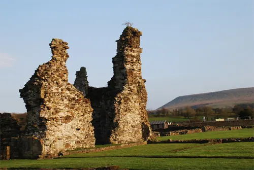
© ALAN SOUTHWORTH · Geograph · CC BY-SA 2.0
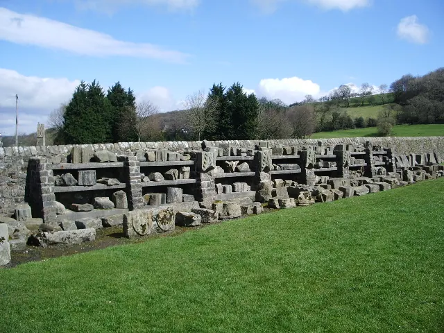
© Alexander P Kapp · Geograph · CC BY-SA 2.0
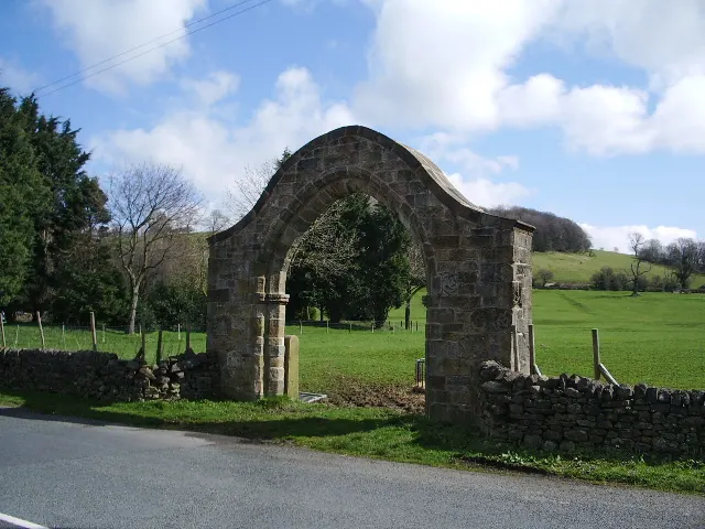
© Alexander P Kapp · Geograph · CC BY-SA 2.0
Images © their respective photographers, licensed under CC BY-SA 2.0 and reused here with attribution. Photographs depict listed buildings, churches and monuments near this settlement and may show neighbouring villages.
Data derived from the Open Domesday project (opendomesday.org), based on the Domesday Book dataset compiled by Professor J.J.N. Palmer and team. The Domesday Book (1086) is in the public domain.
Found an inaccuracy? [email protected]