Rillington in the Domesday Book (1086)
Rillington appears in the Domesday Book of 1086, entered under the hundred of Scard in Yorkshire. The survey assessed Rillington at 0.5 carucates of taxable land.
At the time of the survey, Rillington supported a recorded population of 4 villagers, 2 smallholders, working 2 ploughs between them.
The survey puts Rillington’s value at 3 shillings, the same as before the Conquest. Unchanged valuations are relatively rare in the North, where disruption was widespread.
Resources Recorded at Rillington (1086)
- Churches: 1
Other Settlements in Scard
- Birdsall
- Buckton [Holms]
- Burdale
- Duggleby
- Kennythorpe
- Langton
- Linton
- Norton
- Scagglethorpe
- Scampston
- Settrington
- Sutton [Grange]
- Thorpe [Bassett]
- Towthorpe
The Meaning of the Name
The name Rillington is of Anglo-Saxon origin. Its final element derives from the Old English word tūn, a farmstead or village. The first element is most likely a personal name or an early descriptive term, now difficult to recover with certainty. Taken together the name probably meant something close to ‘a farmstead’.
Remarkably, the name has changed little since 1086, when the Domesday scribes wrote it as Rillington.
Listed Buildings Near Rillington
Historic England records 22 listed buildings within about a mile of Rillington. Listing protects structures of special architectural or historic interest, graded I (exceptional), II* (particularly important) and II.
Grade I
- Church of Saint Andrew - 0.37 km
Grade II*
- Church of All Saints - 1.04 km
Grade II
- The Coach and Horses - 0.31 km
- Bethesda Chapel - 0.32 km
- 3, Westgate - 0.34 km
- Holly House - 0.38 km
- Church Farmhouse - 0.47 km
- Park View and Attached Garage and Outbuilding - 0.52 km
- Stable Block Approximately Twenty Metres South-west of Rillington Manor - 0.52 km
- Rectory Farmhouse - 0.52 km
- Rillington Manor - 0.53 km
- Park Farmhouse - 0.63 km
- Milestone Approximately 40 Metres West of the Gates to Scampston Hall - 0.67 km
- The Lodge to Scampston Hall - 0.72 km
- Gates, Gate Piers, Flanking Walls and Railings Approximately One Metre South of the Lodge to Scampston Hall - 0.73 km
- Holly Tree House - 1.05 km
- Dovecote Approximately 40 Metres North-east of Manor Cottages - 1.08 km
- Church of St Martin - 1.11 km
- Keeper’s Cottage - 1.15 km
- Scampston Bridge - 1.16 km
- Cundill Cottage and Dallimore Cottage - 1.17 km
- Entrance Gates and Gate Piers Approximately 180 Metres West of Scampston Hall - 1.24 km
Scheduled Monuments Near Rillington
Scheduled monuments are nationally important archaeological sites given legal protection. 1 lies within roughly a mile of Rillington:
- Iron Age barrow cemetery, East Field - 0.29 km
Rillington Today
Today Rillington lies within the administrative area of Ryedale, and the settlement recorded a population of 1,206 at the 2021 census. Nine and a half centuries separate that figure from the small rural community the Domesday survey recorded here in 1086.
Read more about modern Rillington on Wikipedia .
Nearby Domesday Settlements
Other places recorded in the 1086 survey within a few miles:
- Thorpe Bassett - 1.0 km S
- Scampston - 1.4 km NE
- Scagglethorpe - 2.8 km SW
- Knapton - 3.2 km E
- Wintringham - 3.2 km E
- Newton - 3.6 km SE
Heritage Around Rillington
Photographs of churches, listed buildings and monuments in the vicinity, contributed by volunteers to the Geograph project and reused here under a Creative Commons licence.
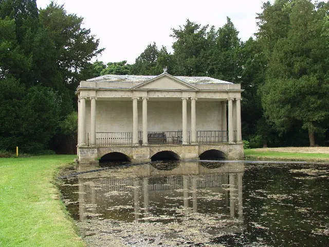
© Peter Mattock · Geograph · CC BY-SA 2.0
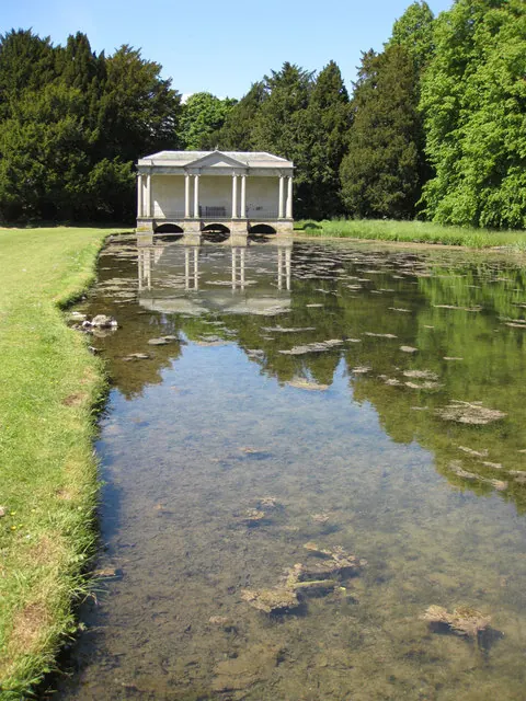
© Pauline E · Geograph · CC BY-SA 2.0
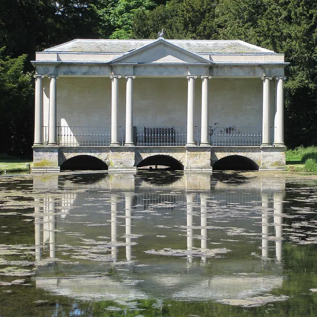
© Pauline E · Geograph · CC BY-SA 2.0
Images © their respective photographers, licensed under CC BY-SA 2.0 and reused here with attribution. Photographs depict listed buildings, churches and monuments near this settlement and may show neighbouring villages.
Data derived from the Open Domesday project (opendomesday.org), based on the Domesday Book dataset compiled by Professor J.J.N. Palmer and team. The Domesday Book (1086) is in the public domain.
Found an inaccuracy? [email protected]