Ribchester in the Domesday Book (1086)
The 1086 Domesday survey records the settlement of Ribchester, entered under the hundred of Amounderness in Yorkshire.
Other Settlements in Amounderness
- Aighton
- Aldcliffe
- Aldingham
- Arkholme
- Aschebi
- Ashton [Hall]
- Ashton [on Ribble]
- Austwick
- Barbon
- Bardsea
- Bare
- Barnoldswick
- Barton
- Beetham
The Meaning of the Name
The name Ribchester is of Anglo-Saxon origin. Its final element derives from the Old English word ceaster (from Latin castra), a Roman fort or walled town. The first element is most likely a personal name or an early descriptive term, now difficult to recover with certainty. Taken together the name probably meant something close to ‘a Roman fort’.
Remarkably, the name has changed little since 1086, when the Domesday scribes wrote it as Ribchester.
Listed Buildings Near Ribchester
Historic England records 23 listed buildings within about a mile of Ribchester. Listing protects structures of special architectural or historic interest, graded I (exceptional), II* (particularly important) and II.
Grade I
- Church of St Wilfrid - 0.6 km
- Church of St Saviour - 0.94 km
Grade II*
- Almshouses - 0.85 km
- Osbaldeston Hall - 1.07 km
Grade II
- 48, Church Street - 0.41 km
- 28 and 29, Church Street - 0.43 km
- 50-58, Church Street - 0.47 km
- 8, Blackburn Road - 0.47 km
- 25 and 26, Church Street - 0.48 km
- 23 and 24, Church Street - 0.48 km
- 16-22, Church Street - 0.5 km
- 61 and 62, Church Street - 0.5 km
- Mounting Block in Front of White Bull Hotel - 0.52 km
- White Bull Hotel and Former Stable Adjoining to the North - 0.53 km
- 8-15, Church Street - 0.55 km
- Stone House - 0.6 km
- Sundial in Churchyard of Church of St Wilfrid, 15 Metres South-east of Chancel - 0.62 km
- Bridge at Southern End of Lane, 40 Metres North of Junction With Blackburn Road - 0.76 km
- Stydd Lodge, Presbytery to Church of St Peter and St Paul, and Attached Outbuilding - 0.8 km
- Church of St Peter and St Paul - 0.81 km
- Wellhead in Garden East of Almshouses - 0.86 km
- Cross Base in St Saviour’s Churchyard to South of Church of St Saviour - 0.94 km
- Cross Base on East Side of Road, 300 Metres South of Eaves Barn - 1.24 km
Scheduled Monuments Near Ribchester
Scheduled monuments are nationally important archaeological sites given legal protection. 1 lies within roughly a mile of Ribchester:
- Ribchester Roman fort (Bremetennacum) - 0.57 km
Ribchester Today
Today Ribchester lies within the administrative area of Ribble Valley, and the settlement recorded a population of 1,530 at the 2021 census. Nine and a half centuries separate that figure from the small rural community the Domesday survey recorded here in 1086.
Read more about modern Ribchester on Wikipedia .
Nearby Domesday Settlements
Other places recorded in the 1086 survey within a few miles:
- Dilworth House - 3.6 km NW
- Wheatley - 4.5 km NW
- Aighton - 5.0 km NE
- Grimsargh - 6.1 km W
- Haighton Hall - 7.0 km W
- Great Mitton - 7.6 km NE
Heritage Around Ribchester
Photographs of churches, listed buildings and monuments in the vicinity, contributed by volunteers to the Geograph project and reused here under a Creative Commons licence.
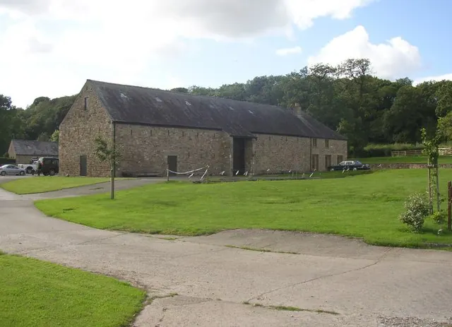
© Humphrey Bolton · Geograph · CC BY-SA 2.0
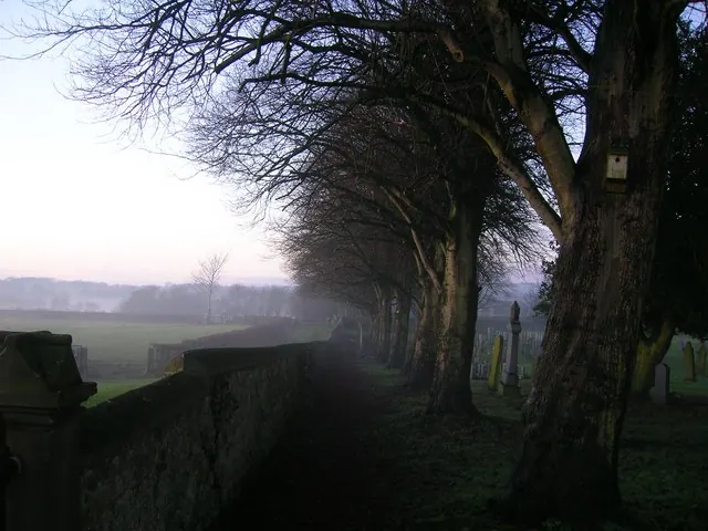
© John H Darch · Geograph · CC BY-SA 2.0
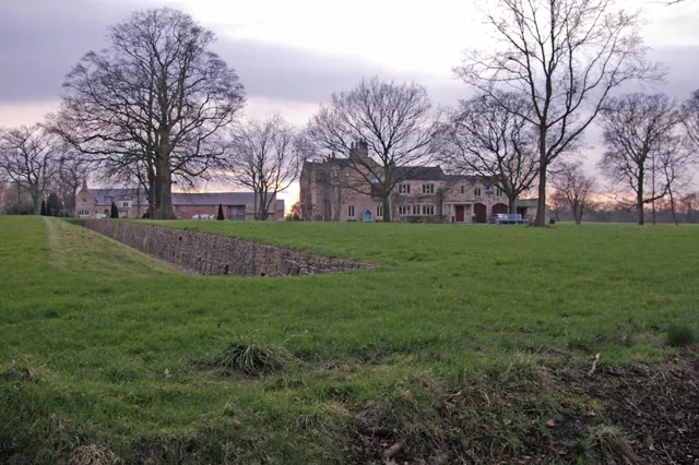
© Mr T · Geograph · CC BY-SA 2.0
Images © their respective photographers, licensed under CC BY-SA 2.0 and reused here with attribution. Photographs depict listed buildings, churches and monuments near this settlement and may show neighbouring villages.
Data derived from the Open Domesday project (opendomesday.org), based on the Domesday Book dataset compiled by Professor J.J.N. Palmer and team. The Domesday Book (1086) is in the public domain.
Found an inaccuracy? [email protected]