Rhos Ithel in the Domesday Book (1086)
The settlement of Rhos Ithel is recorded in William I’s Domesday survey of 1086, entered under the hundred of Ati’s Cross in Cheshire.
Other Settlements in Ati’s Cross
The Meaning of the Name
The origin of the name Rhos Ithel is not securely established from its modern form alone; like many settlement names in the North it likely combines an Old English or Old Norse personal name with a landscape term.
Remarkably, the name has changed little since 1086, when the Domesday scribes wrote it as Rhos Ithel.
Nearby Domesday Settlements
Other places recorded in the 1086 survey within a few miles:
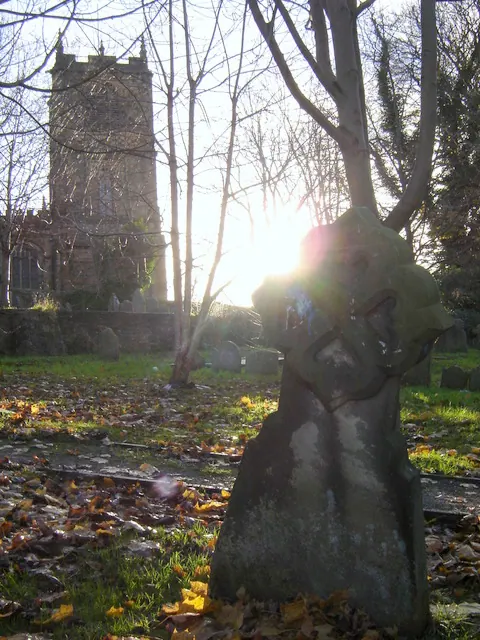
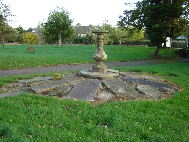
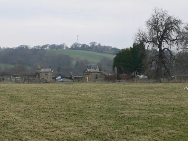
Heritage Around Rhos Ithel
Photographs of churches, listed buildings and monuments in the vicinity, contributed by volunteers to the Geograph project and reused here under a Creative Commons licence.
© Aaron Thomas · Geograph · CC BY-SA 2.0
© Aaron Thomas · Geograph · CC BY-SA 2.0
© Eirian Evans · Geograph · CC BY-SA 2.0
Images © their respective photographers, licensed under CC BY-SA 2.0 and reused here with attribution. Photographs depict listed buildings, churches and monuments near this settlement and may show neighbouring villages.
Data derived from the Open Domesday project (opendomesday.org), based on the Domesday Book dataset compiled by Professor J.J.N. Palmer and team. The Domesday Book (1086) is in the public domain.
Found an inaccuracy? [email protected]