Repton in the Domesday Book (1086)
The settlement of Repton is recorded in William I’s Domesday survey of 1086, entered under the hundred of Walecros in Derbyshire.
Other Settlements in Walecros
- Appleby [Magna]
- Bolun
- Bretby
- Caldwell
- Catton
- Coton [-in-the-Elms]
- Drakelowe
- Foremark
- Hartshorne
- Hearthcote
- Ingleby
- Lullington
- Melbourne
- Milton
The Meaning of the Name
The name Repton is of Anglo-Saxon origin. Its final element derives from the Old English word tūn, a farmstead or village. The first element is most likely a personal name or an early descriptive term, now difficult to recover with certainty. Taken together the name probably meant something close to ‘a farmstead’.
Remarkably, the name has changed little since 1086, when the Domesday scribes wrote it as Repton.
Listed Buildings Near Repton
Historic England records 44 listed buildings within about a mile of Repton. Listing protects structures of special architectural or historic interest, graded I (exceptional), II* (particularly important) and II.
Grade I
- Repton Hall With Prior Overtons Tower, Repton School - 0.34 km
- Remains of Priory Church and the Chapter Block, Repton School - 0.35 km
- The Old Priory, attached walls and gate piers, Repton School - 0.38 km
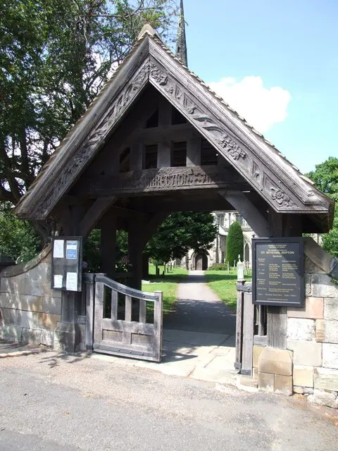
- Church of St Wystan - 0.42 km
- Priory gateway, precinct walls, the Tithe Barn and The Lodge, Repton School - 0.43 km
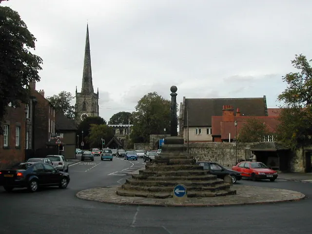
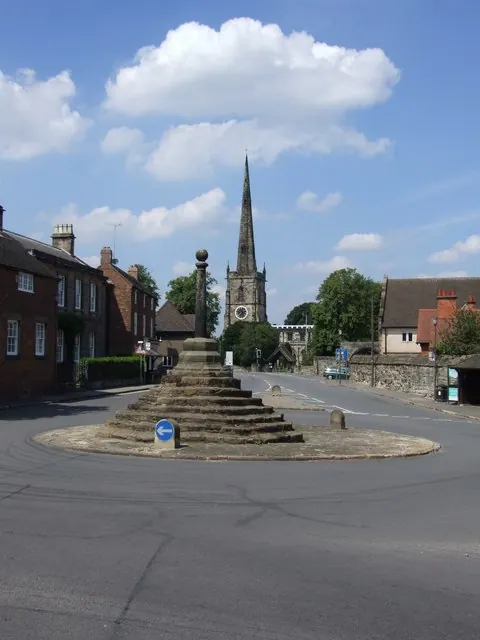
- Market Cross - 0.5 km
Grade II
- Brook End House - 0.32 km
- Brook Lynn - 0.34 km
- Gate Piers to Repton School - 0.36 km
- War Memorial at Repton School - 0.37 km
- Pears School, Repton School - 0.38 km
- Lychgate and Churchyard Wall at St Wystan’s Church - 0.45 km
- No 1 Willington Road - 0.48 km
- 3 and 5, the Cross - 0.48 km
- No 11, The Cross - 0.48 km
- 1, High Street - 0.49 km
- Post Office - 0.5 km
- The Thatched House - 0.5 km
- The Croft, Bursar’s Office and Attached Gate Piers to West - 0.5 km
- Gymnasium and Attached Gates, Repton School - 0.56 km
- The Chapel, Repton School - 0.58 km
- 27-29, High Street - 0.61 km
- Stone House - 0.62 km
- 10 Burton Road - 0.62 km
…and 20 more listed structures in the area.
Scheduled Monuments Near Repton
Scheduled monuments are nationally important archaeological sites given legal protection. 1 lies within roughly a mile of Repton:
Repton Today
Today Repton lies within the administrative area of South Derbyshire, and the settlement recorded a population of 3,034 at the 2021 census. Nine and a half centuries separate that figure from the small rural community the Domesday survey recorded here in 1086.
Read more about modern Repton on Wikipedia .
Nearby Domesday Settlements
Other places recorded in the 1086 survey within a few miles:
- Potlocks - 1.4 km NE
- Willington - 1.4 km NW
- Twyford - 2.2 km NE
- Milton - 2.2 km SE
- Newton Solney - 2.8 km SW
- Findern - 3.0 km N
Heritage Around Repton
Photographs of churches, listed buildings and monuments in the vicinity, contributed by volunteers to the Geograph project and reused here under a Creative Commons licence.
© Peter Shone · Geograph · CC BY-SA 2.0
© Sharon Palmer · Geograph · CC BY-SA 2.0
© Sharon Palmer · Geograph · CC BY-SA 2.0
Images © their respective photographers, licensed under CC BY-SA 2.0 and reused here with attribution. Photographs depict listed buildings, churches and monuments near this settlement and may show neighbouring villages.
Data derived from the Open Domesday project (opendomesday.org), based on the Domesday Book dataset compiled by Professor J.J.N. Palmer and team. The Domesday Book (1086) is in the public domain.
Found an inaccuracy? [email protected]